News
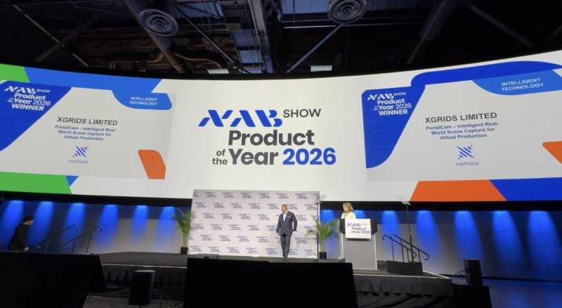
XGRIDS PortalCam Becomes Only Product to Win Four Categories at 2026 NAB Show Product of the Year Awards
XGRIDS PortalCam Becomes Only Product to Win Four Categories at 2026 NAB Show Product of the Year Awards
LixelStudio v3.6 is purpose-built for engineering-grade reconstruction in challenging environments such as urban canyons, with systematic upgrades to Mesh quality and PointCloud enhancement capabilities.
LixelStudio v3.6 is purpose-built for engineering-grade reconstruction in challenging environments such as urban canyons, with systematic upgrades to Mesh quality and PointCloud enhancement capabilities.
Key improvements include:
Shatters the typical 10cm accuracy barrier. Verified by L2 Pro, maintains stable 3cm horizontal / 5cm vertical accuracy even amidst GNSS multipath effects and RTK instability. Makes complex urban data truly engineering-ready for the first time.

Superior geometry and texture with 30% faster processing. Features smoother surfaces with reduced detail adhesion, enhanced texture continuity, and a 20% reduction in file size to optimize storage and workflows.

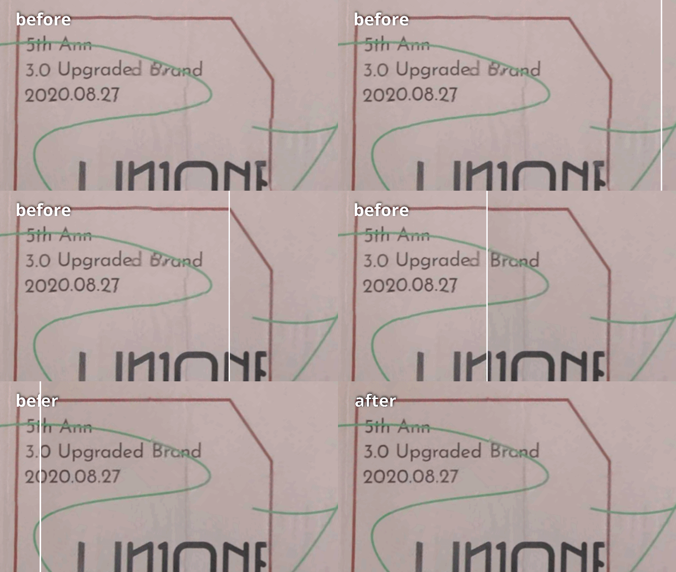
Sharper details, natural distribution. Upgraded LixelUpSample™ algorithm eliminates ground voids and sharpens structural boundaries. Delivers realistic details while slashing data volume by 70% for maximum efficiency.


Streamlined presentation and review. Enables preset fly-through paths and key Points of Interest (POI) directly within the model. Transforms data deliverables into intuitive, efficient narratives for client demonstrations.
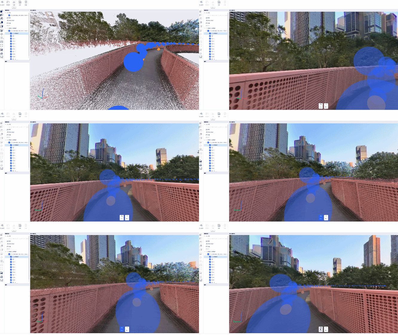
Complex Environments. Engineering Certainty. LixelStudio v3.6 delivers a systematic upgrade focused on precision, stability, and usability. Even in the most challenging urban canyons, LixelStudio ensures your 3D reconstructions remain trustworthy, usable, and deliverable-grade.
⬇️Download LixelStudio v3.6 here: https://www.xgrids.com/intl/support/download?page=LixelStudio
XGRIDS PortalCam Becomes Only Product to Win Four Categories at 2026 NAB Show Product of the Year Awards

An open format that more tools, more industries, and more developers can build on.
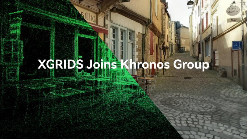
XGRIDS, a spatial intelligence company and one of the first companies to deploy 3D Gaussian Splatting at production scale across multiple industries, today announced its membership in the Khronos® Group.

XGRIDS wins the IFA 2026 Netzwelt Innovation Award with PortalCam & LCC Scan, turning physical spaces into production-ready digital twins in real time.