
Case Studies
Virtual Pre-Production for Netflix's Monster: The Lizzie Borden Story.
Reality capture let Netflix's Monster scout 35 Italian locations in four days with PortalCam, then plan shots remotely through virtual scouting of 3DGS scans.
Atlihan Surveying Engineering transformed a 1,000 m² excavation site in Turkey into a fully explorable 3D digital archive in under 2 hours.
Operating team: Atlıhan Surveying Engineering Construction Co., XGRIDS Turkey Dealer & Service Partner
Project: Archaeological excavation documentation for cultural heritage preservation
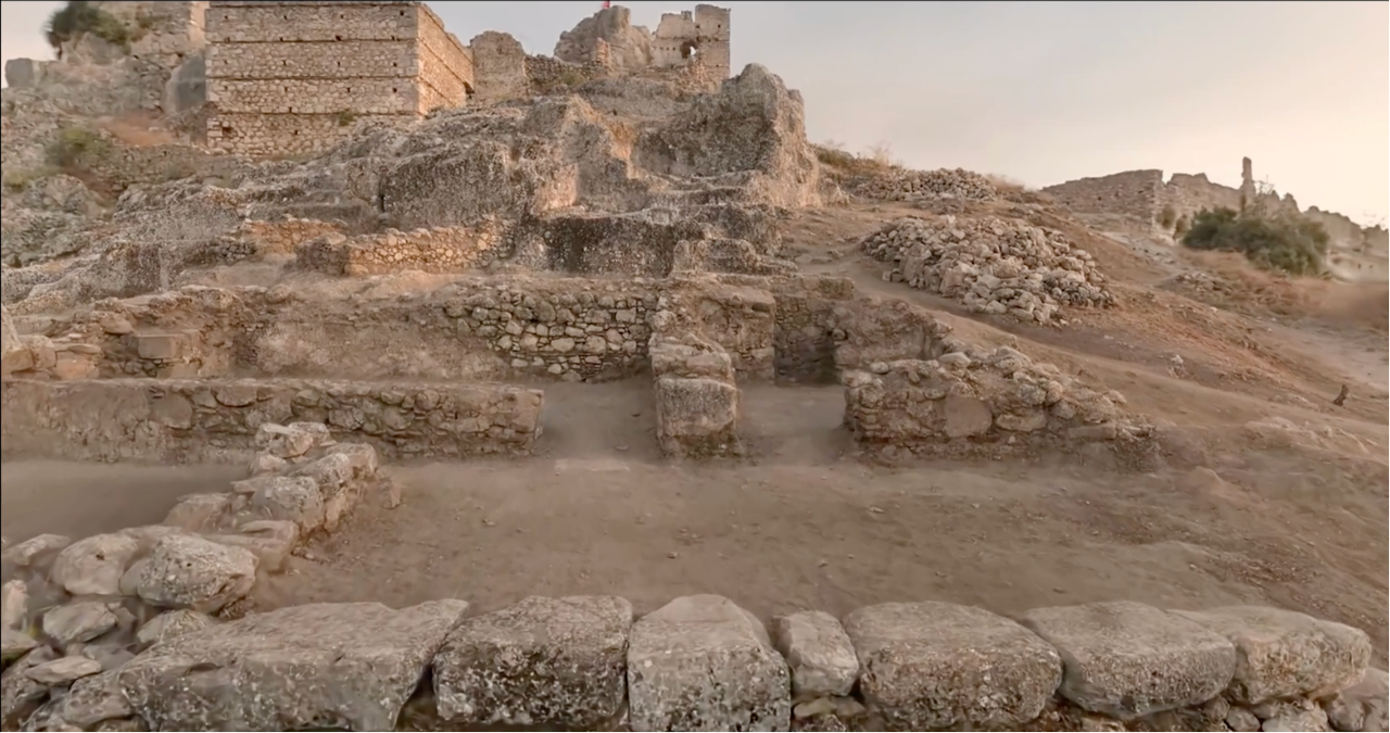
Location: Turkey
Site Area: 1,000 m²
Timeline: 12-minute scan, 40-minute point cloud processing, 90-minute LCC generation
Archaeological documentation in Turkey traditionally relies on GPS, total stations, or terrestrial laser scanners. Each method presents distinct limitations:
For this excavation site spanning 1,000 m², the team needed a method that would capture complete spatial data including topographic features and structural conditions while enabling remote researcher access.
The Atlihan team deployed the XGRIDS L2 Pro handheld scanner using LiDAR + vision fusion 3D Gaussian Splatting technology.
Scanning Approach:
Data Processing:
| Metric | Traditional Methods | XGRIDS L2 Pro |
| Scanning Time | 1+ days | 12 minutes |
| Personnel Required | 2 people (GPS/TS) | 1 person |
| Processing Time | 4-8+ hours | 40-90 min |
| Field Validation Accuracy | Varies | <1 cm |
| Cost Efficiency | Baseline | 5x savings |
Workflow Comparison:
Traditional terrestrial scanners produce higher resolution data than SLAM technology, but the XGRIDS approach delivers a different value proposition: speed and accessibility without sacrificing archaeological utility.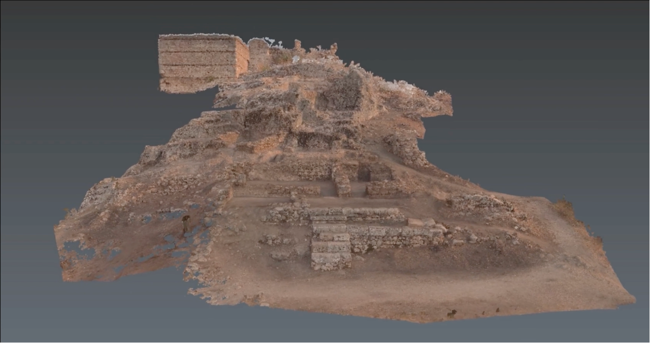
What the L2 Pro captures that traditional methods miss:
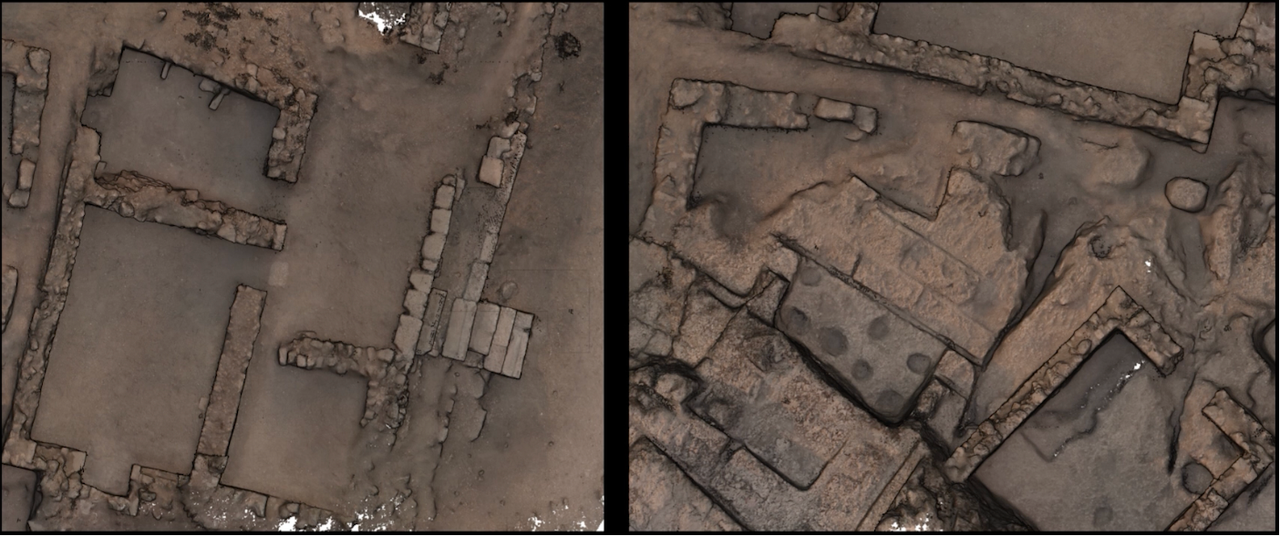
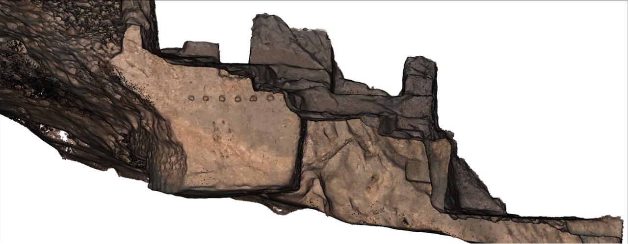
Data Purpose Differentiation:
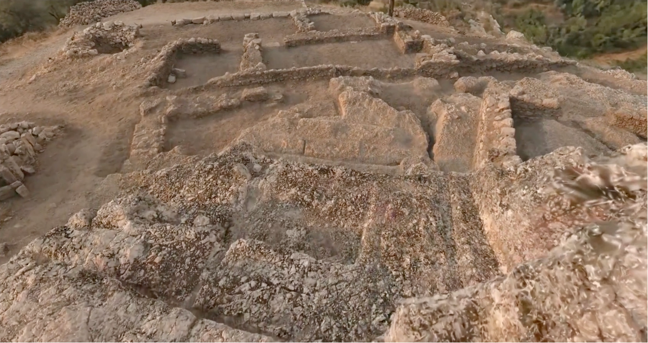
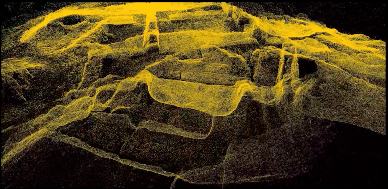
Researchers now analyze excavation data from their computers without site visits. The LCC Studio viewer enables distance and area measurements directly from the digital model.
The complete 3D spatial dataset enables capabilities impossible with traditional 2D methods:
The project generated significant interest in Turkey's archaeological community:
According to Okan Atlıhan, Surveying Engineer at Atlıhan Surveying: "Several archaeologists and architects used this study as an example in their symposium presentations and mentioned that XGRIDS SLAM was utilized in these works. This has changed perceptions about the device's recognizability and the breadth of its application areas."
The 10x speed improvement translates to concrete benefits: reduced project costs and capacity to take on additional cultural heritage documentation projects. The 5x cost savings makes comprehensive archaeological documentation accessible for more sites.
Most importantly, the digital archive provides a permanent, detailed record of the excavation state—preserving cultural heritage in explorable 3D format for researchers, students, and the public worldwide.
Reality capture let Netflix's Monster scout 35 Italian locations in four days with PortalCam, then plan shots remotely through virtual scouting of 3DGS scans.
.png?x-oss-process=image/resize,w_800/quality,Q_50)
A one-hour Lixel K1 scan of six Culver City blocks gave a generative film pipeline the fixed geometry it needed to keep six locations consistent.

Handheld 3DGS by PortalCam helped CyArk document three landmark interiors for America 250, solving mirror reflections and low-light field challenges.

Handheld 3D capture brings real museum spaces to LED volumes, replacing green screens and photogrammetry for fast, cinematic virtual camera moves.