
Case Studies
Virtual Pre-Production for Netflix's Monster: The Lizzie Borden Story.
Reality capture let Netflix's Monster scout 35 Italian locations in four days with PortalCam, then plan shots remotely through virtual scouting of 3DGS scans.
Using the XGRIDS Lixel L2 Pro, a surveying team completed real-time measurement of a 0.2 km² no-fly zone in 15 minutes, achieving true-color point cloud data with 3cm absolute accuracy. The workflow reduced project time by 80% and increased efficiency threefold, demonstrating a viable alternative to drone-based surveying.
Cadastral surveys—which measure buildings, property boundaries, and land features—often rely on drone technology for speed and coverage. However, restricted airspace, densely populated areas, and safety concerns create zones where drone operations require special clearance or are prohibited.
A ground-based solution that matches or exceeds drone efficiency while remaining compliant with airspace restrictions.
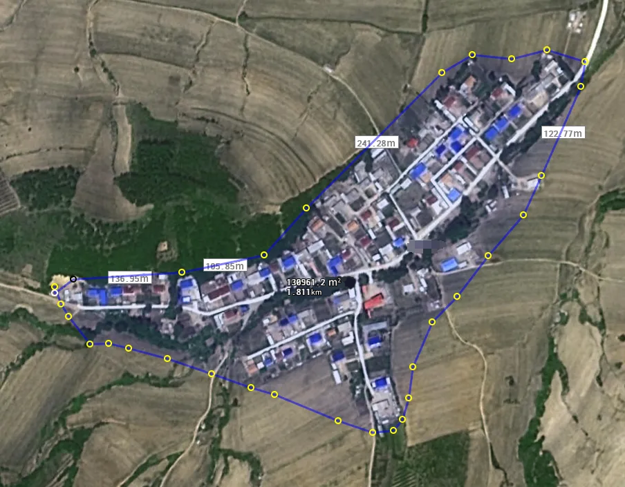
Technical Specifications:
Key Advantages:
Zone Division Strategy
Route Planning
Device Setup
Scanning
1. Point cloud preview
2. Trajectory visualization
3. SLAM mapping confidence indicators
Field Quality Control
Raw data collected by the Lixel L2 Pro were imported into LixelStudio for noise reduction, point cloud alignment, and colorization. While the RCP (ReCap Project) export feature was not utilized in this case, LixelStudio does support exporting point clouds in RCP format for direct integration into CAD and BIM applications such as AutoCAD and Revit.
Subsequent cadastral mapping was completed in SummitMap, following three main steps:
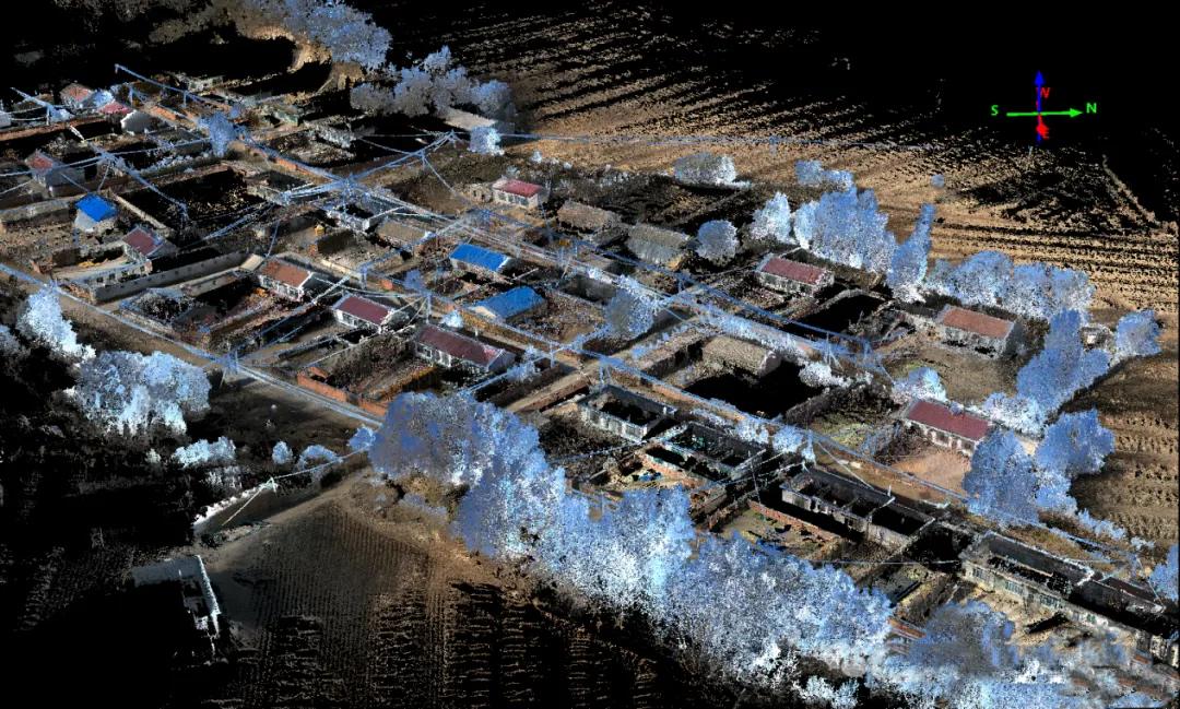
Accuracy Validation: Corner points with distinct features were surveyed using total station measurements as verification checkpoints. Comparison analysis confirmed that point cloud data collected with the Lixel L2 Pro achieved an accuracy within 5 cm.
2. Collected houses using edge sampling lines.
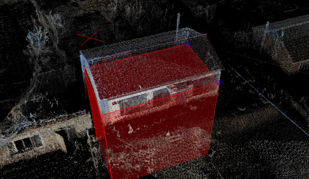
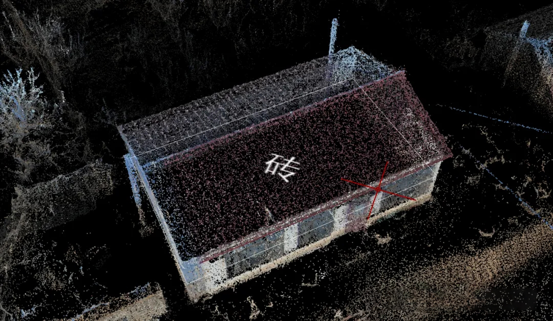
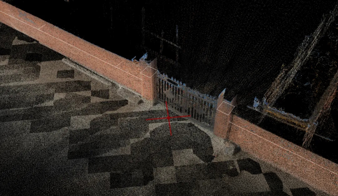
3. Export the drawn vector data to DWG format.
Results Displayed in CAD:
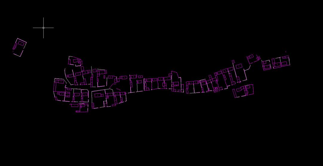
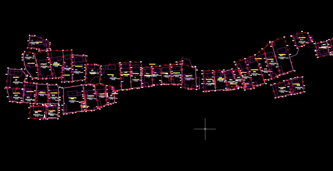
The resulting drawings clearly illustrate the reconstructed building footprints and cadastral boundaries. Distinct layers and color codes were used to differentiate cadastral elements, enabling clear spatial relationships and accurate land–building integration.
The project accurately reconstructed cadastral features, validating the Lixel L2Pro's capability to produce survey-grade outputs.
The Lixel L2 Pro provides an effective ground-based solution for cadastral surveying in restricted airspaces. The system delivers rapid, high-precision, photorealistic outputs while ensuring regulatory compliance. Compared to traditional surveying methods, it reduces costs and lowers technical skill requirements, making it a practical standard for cadastral projects in no-fly zones and similarly constrained environments.
Reality capture let Netflix's Monster scout 35 Italian locations in four days with PortalCam, then plan shots remotely through virtual scouting of 3DGS scans.
.png?x-oss-process=image/resize,w_800/quality,Q_50)
A one-hour Lixel K1 scan of six Culver City blocks gave a generative film pipeline the fixed geometry it needed to keep six locations consistent.

Handheld 3DGS by PortalCam helped CyArk document three landmark interiors for America 250, solving mirror reflections and low-light field challenges.

Handheld 3D capture brings real museum spaces to LED volumes, replacing green screens and photogrammetry for fast, cinematic virtual camera moves.