Preserve the Past. Reimagine How People Experience It.
Capture cultural sites, historical landmarks, museums, tourist attractions, and entire destinations with mobile 3DGS scanning and photo reconstruction. Transform physical spaces into immersive, interactive, and measurable digital experiences that can be explored through the web, game engines, XR devices, and digital twin platforms. From heritage preservation to virtual tourism, one capture creates a reusable spatial asset for storytelling, education, and public engagement.
Why Cultural Spaces Need More Than Photos
Why Cultural Experiences Are Moving Beyond Traditional Documentation
Photographs preserve appearances. Videos preserve moments. But cultural spaces are experienced through movement, scale, atmosphere, and spatial relationships. Whether documenting a historical monument, a museum collection, an archaeological site, or an entire destination, traditional media often fails to capture how people actually experience a place. Spatial computing changes that. Instead of preserving isolated images, cultural organizations can preserve complete environments as immersive, explorable digital assets.
Immersive Exploration
Allow visitors to walk through cultural sites naturally rather than viewing static images.
Digital Preservation
Create long-term digital archives in cm-level accuracy for historical sites and cultural assets.
Large-Scale Scene Rendering
Render entire churches, archaeological sites, campuses, and landscapes through an optimized LOD workflow for both high run-time requirements or highly-detailed purposes.
Multi-Platform Experiences
Deploy the same dataset across Unreal Engine, Unity, web browsers, XR devices, and interactive applications.
Interactive Storytelling
Combine spatial data with narration, multimedia, historical content, and guided experiences.
Reusable Digital Assets
Capture once and reuse the same environment for exhibitions, education, tourism, research, and preservation.
The XGRIDS Cultural Heritage Workflow
From Reality Capture to Interactive Cultural Experiences
Traditional cultural documentation often requires separate workflows for preservation, visualization, and public engagement. Photographs. Laser scans. Panoramas. 3D models. Interactive applications.
Step 1
Capture the Environment
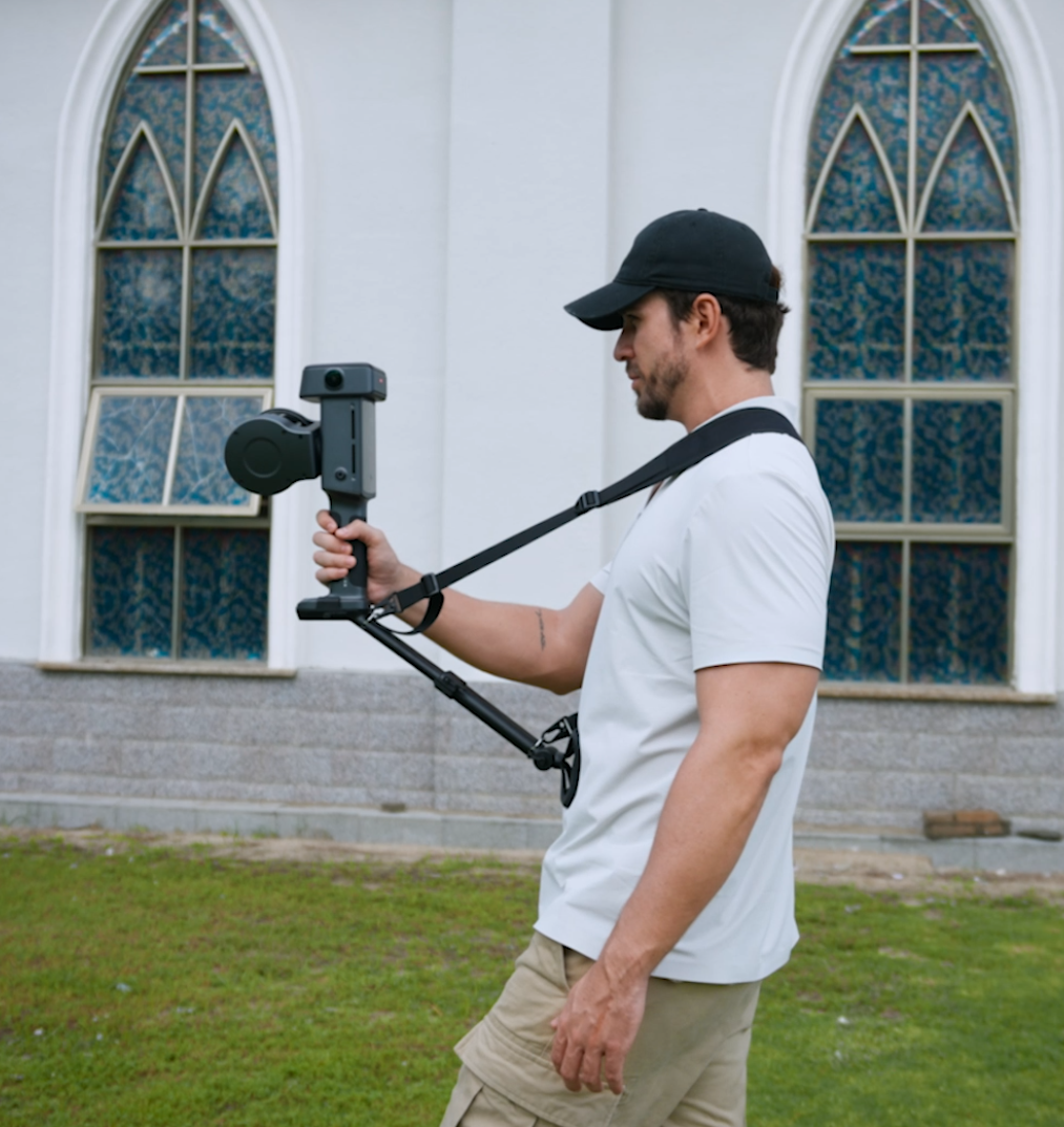
Capture cultural sites using PortalCam or Lixel spatial scanners. Document historical landmarks, museums, archaeological sites, tourist attractions, cultural districts, and large outdoor environments. Mobile scanning dramatically reduces setup time while preserving real-world spatial information.
Step 2
Generate a Photoreal Digital Twin
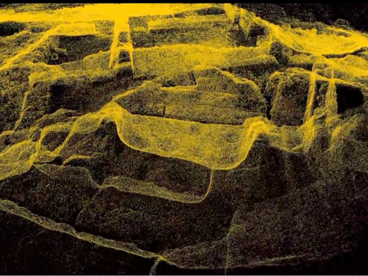
LCC automatically reconstructs the captured environment into a 3D Gaussian Splatting scene. Generate multiple outputs simultaneously, including 3DGS environments, point clouds, panoramic imagery, measurements, and interactive web scenes.
Step 3
Optimize Large-Scale Environments
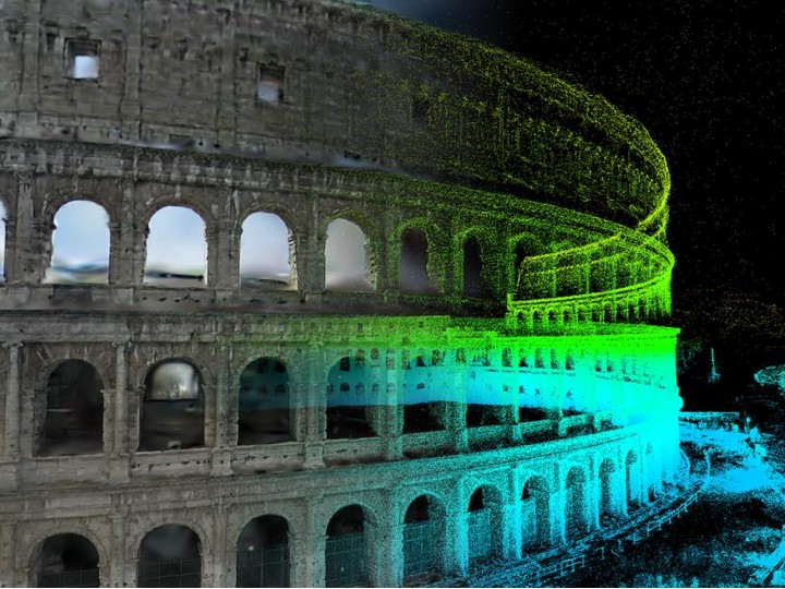
Large cultural environments often exceed the rendering capabilities of traditional workflows. XGRIDS uses an optimized Level of Detail (LOD) strategy to efficiently manage massive datasets. Large environments remain interactive while preserving visual fidelity.
Step 4
Publish Across Multiple Platforms
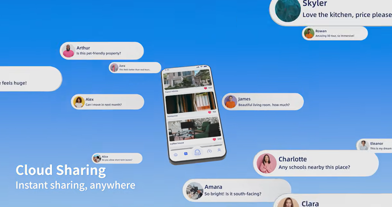
Deploy the same spatial asset to multiple environments. Publish through web browsers, Unreal Engine, Unity, XR applications, and interactive exhibitions. The same captured environment supports multiple storytelling experiences without rebuilding the scene.
Step 5
Extend the Experience
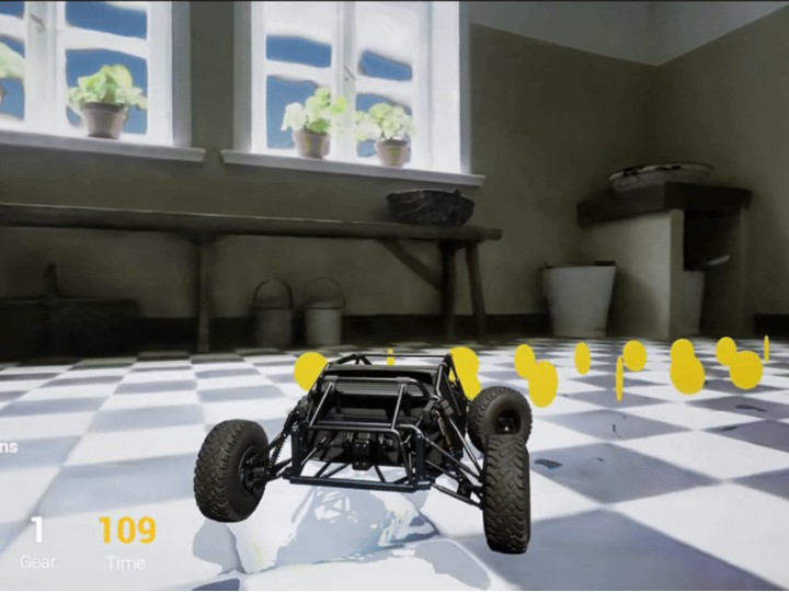
Add multimedia content, educational materials, virtual guides, annotations, and interactive narratives. The environment becomes more than a digital archive. It becomes a platform for cultural engagement.
Lixel Scanners / PortalCam
Handheld mobile scanners and spatial cameras at millimeter-level accuracy — lightweight models suit hall interiors, caves and tomb chambers where space is tight; larger models cover building complexes and site-wide areas.
ProcessLixelStudio
Point-cloud processing and export: LAS, E57 and RCP straight out, into archives and CAD without conversion.
DeliverLixel CyberColor
Generates a photorealistic 3DGS site you open in a browser to walk, measure and annotate.
Step five loops back to step two: the value of heritage data is not in the handover, it is in being reopened — a conservation plan today, an exhibition next year, a comparison a decade on.
Where Teams Use It
Each scenario is broken down the same way: the problem you have today, how we solve it, and what you get.
Scenario 1
Heritage Preservation
Preserve Cultural Assets Before They Change
Historical sites are constantly exposed to environmental change, urban development, tourism, and natural deterioration. Traditional documentation preserves only fragments of a site.
Create complete digital records that preserve both geometry and visual appearance. Historical environments become measurable, searchable, and permanently accessible.
- Comprehensive documentation
- Long-term preservation
- Accurate spatial records
- Reduced information loss
Scenario 2
Virtual Tourism
Allow Visitors to Explore Destinations From Anywhere
Geography, accessibility, and travel limitations prevent many people from experiencing cultural sites in person. Traditional media cannot replicate the feeling of being there.
Transform real locations into immersive digital experiences. Visitors can freely navigate cultural sites through web browsers, XR devices, or interactive applications.
- Increased accessibility
- Richer visitor experiences
- Global reach
- New tourism opportunities
Scenario 3
Museums & Interactive Exhibitions
Bring Museum Experiences into Interactive Spaces
Museum experiences are often limited to physical locations. Digital exhibitions frequently rely on static images and video.
Create immersive exhibitions that combine spatial environments with digital storytelling. Curators can enrich spaces with audio, video, historical context, and interactive 3D content.
- More engaging exhibitions
- Expanded educational opportunities
- Greater visitor interaction
- Reusable digital content
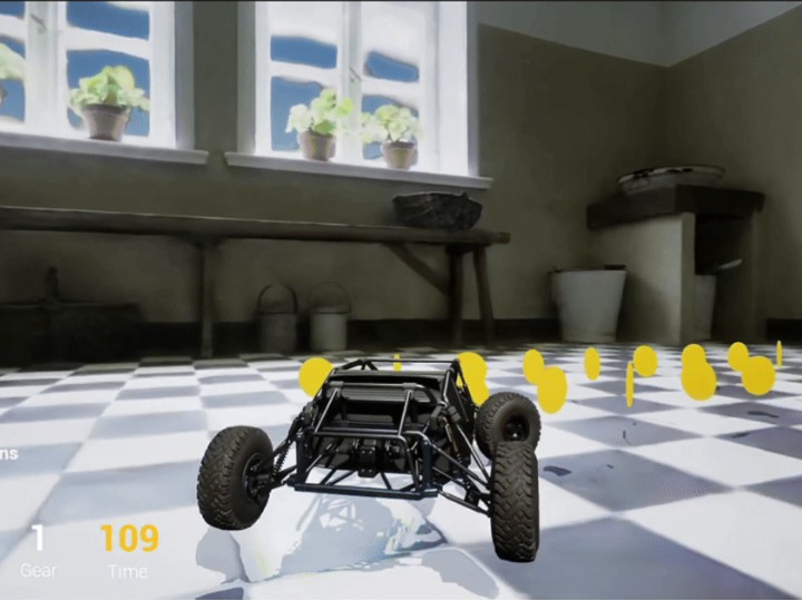
Scenario 4
Large-Scale Cultural Environments
Render Entire Cultural Sites at Scale
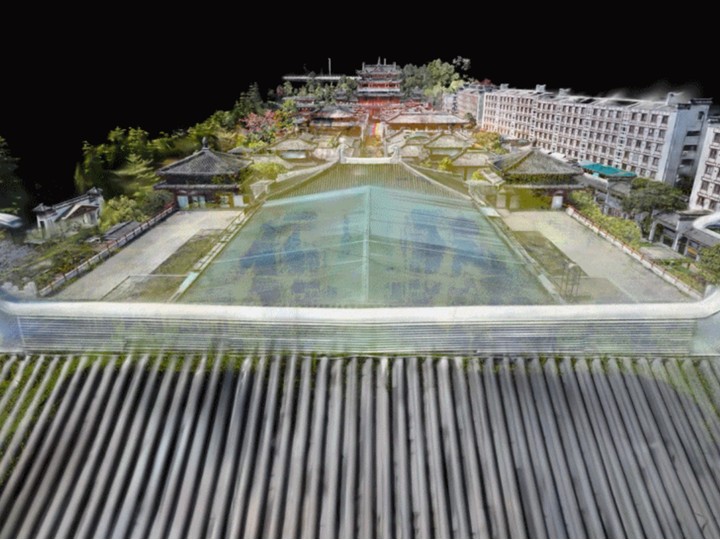
Ancient cities, archaeological sites, and large tourist destinations often contain datasets too large for conventional rendering pipelines. Optimization frequently requires reducing visual quality.
XGRIDS provides multiple scanning methods for large-scale destinations, including map fusion, aerial-ground map fusion and HD enhancement. The LOD workflow enables efficient rendering of large-scale 3DGS environments. Entire sites can be explored interactively while preserving fine visual details.
- Interactive large-scale visualization
- Higher rendering performance
- Preserved visual fidelity
- Better user experiences
Scenario 5
Cross-Platform Cultural Experiences
One Dataset. Multiple Experiences.
Creating separate assets for websites, interactive applications, game engines, and XR experiences increases production costs and complicates content management.
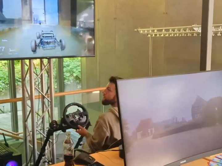
A single captured environment can be deployed across multiple platforms. The same dataset can support web experiences, Unreal Engine applications, Unity applications, XR experiences, and interactive installations.
- Reduced content duplication
- Faster deployment
- Lower production costs
- Consistent experiences across platforms
Cultural Experiences Powered by XGRIDS
From Preservation to Immersive Storytelling
Most heritage and tourism projects need clearance from the responsible authority before they can be published, so citable cases are still being approved one by one. Until then, here is what you can verify hands-on today.
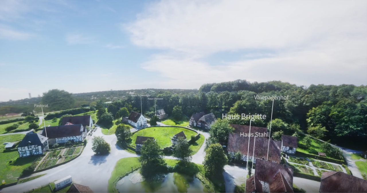
Museum Digitization: How the LWL Open-Air Museum in Detmold Uses Immersive Tech to Open Restricted Spaces
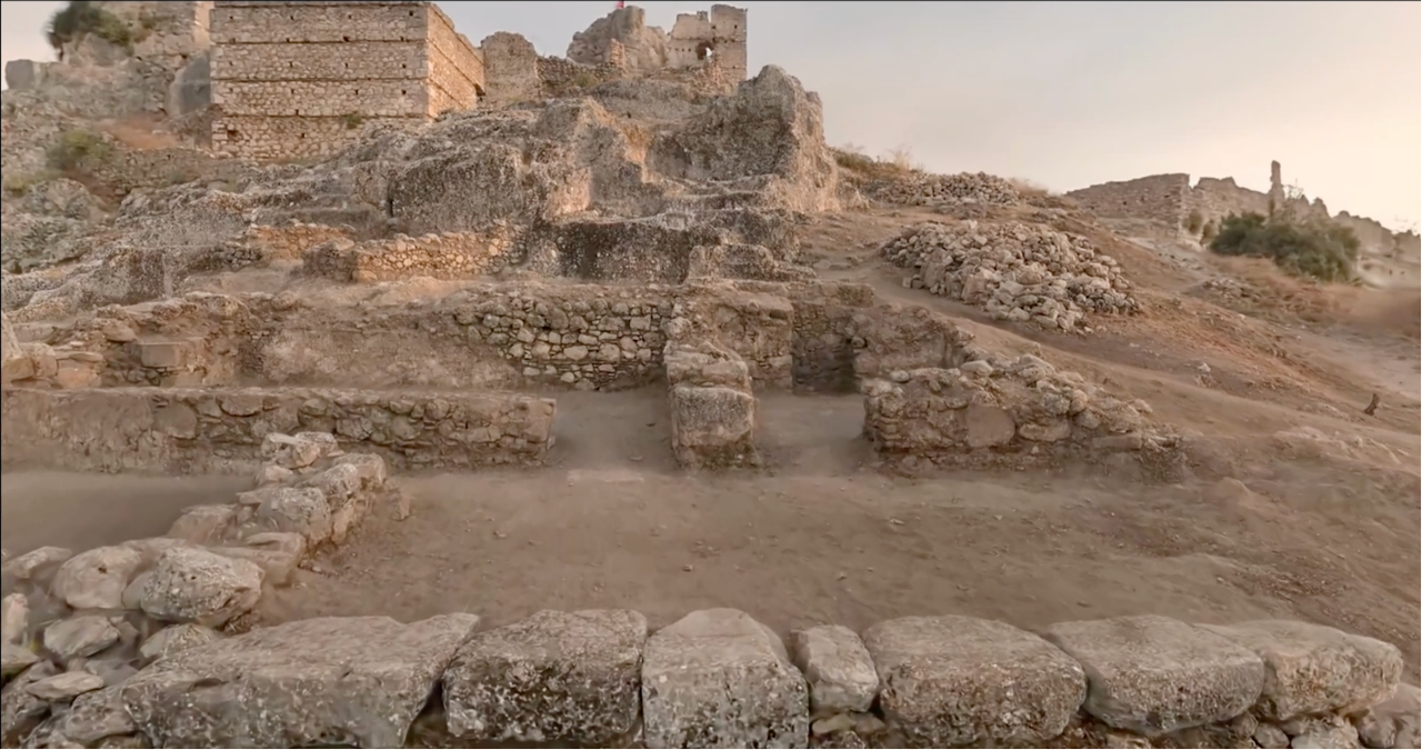
Archaeological Documentation at Scale: Atlihan Surveying's Digital Heritage Preservation with XGRIDS L2 Pro
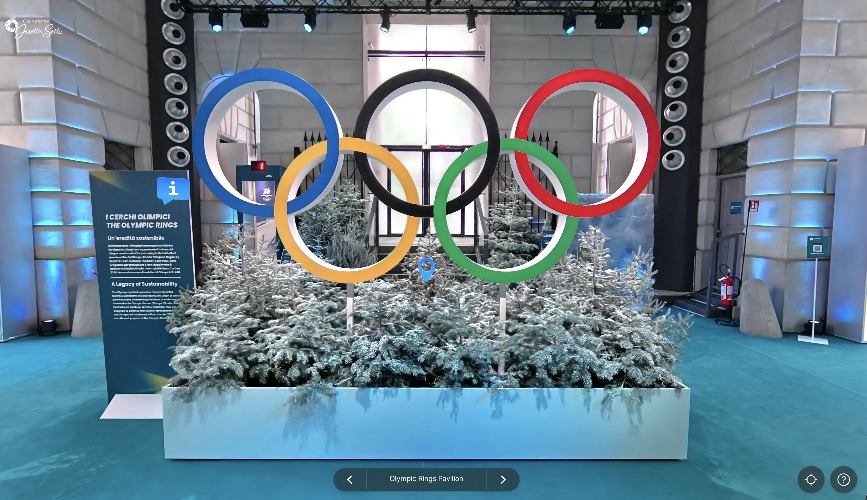
Capturing spaces that disappear: Josette Seitz on 3D at Milano Cortina and Burning Man
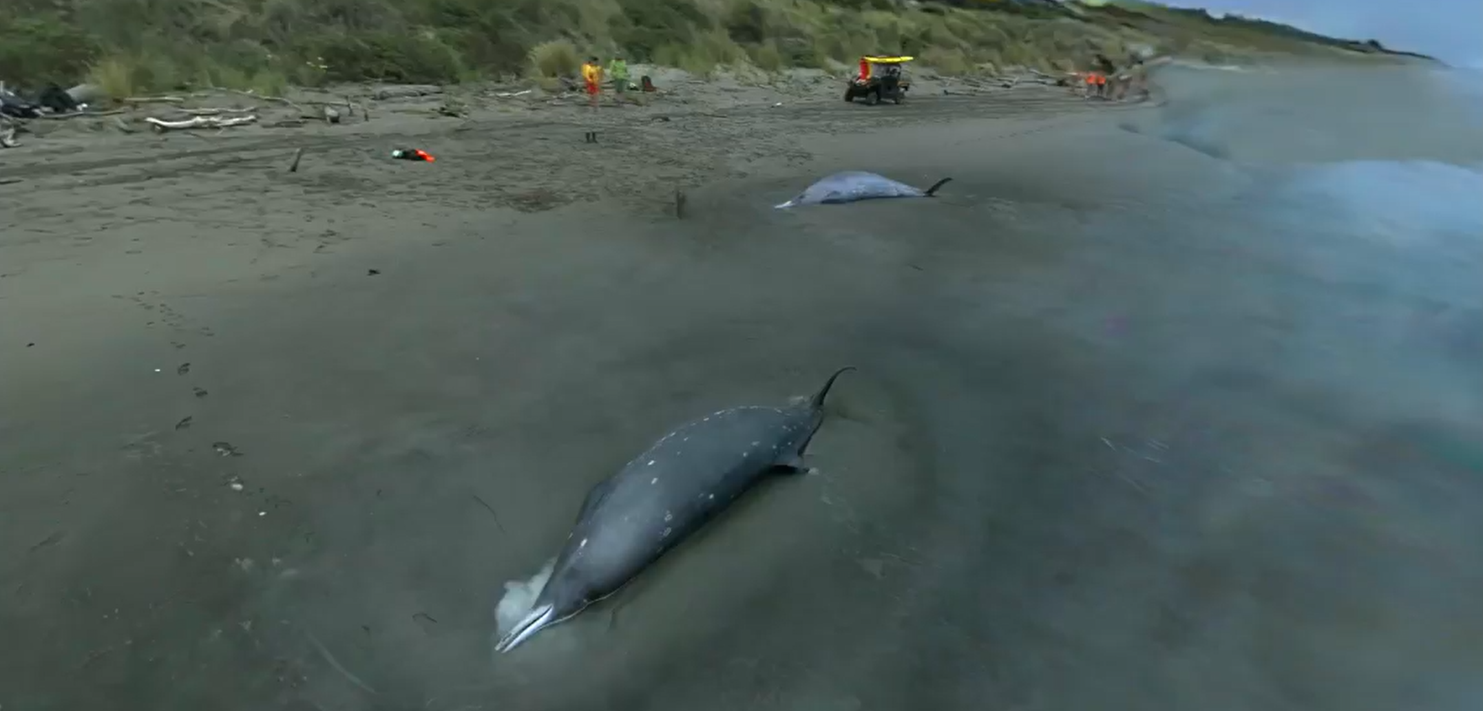
3D Scanning Technology for Whale Stranding Research
Frequently Asked Questions
Common questions about accuracy and standards, capture, online display and where this fits.
3DGS preserves fine visual details, lighting, materials, and surface characteristics that are often difficult to reproduce with traditional mesh-based reconstruction.
Yes. Lixel mobile spatial scanners are designed for both indoor and outdoor environments, including large historical sites and landscapes.
XGRIDS uses a Level of Detail (LOD) strategy that enables large 3DGS environments to remain interactive while maintaining visual quality.
Captured environments can be deployed through Unreal Engine, Unity, web browsers, and XR applications.
Yes. Spatial datasets can be enriched with multimedia, annotations, guided tours, and educational content.
Built for Interactive Cultural Experiences
You do not have to change systems. Point cloud and 3DGS enter the platforms you already use, in formats they already read.
LCC UE SDK
Immersive exhibits and online walk-throughs in Unreal, with billion-scale scenes still rendering live.
LCC for Revit
Bring the 3DGS site into Revit to compare built heritage as-is against existing drawings.
Archive · CAD Formats
LAS, E57, RCP, OBJ and PLY straight out — into archives and CAD with no conversion step.
Browser Sharing
Viewable by link, so remote review and public access install nothing.
Capture Heritage. Share Experiences. Preserve Culture.
Tell us the object type and the scope you need covered, and we will map the capture-and-archive path.