Language / Region


Point Cloud Processing Workstation for Lixel Scanners
One-click processing from raw scan data to production-ready point clouds.
Download 
Every dataset, delivered to engineering-grade standards
Photorealistic color
Point cloud color is consistent, sharp, and detail-rich — even in low-light conditions.
Engineering-grade levelness
Planar surfaces come out true to geometry, so drafting doesn't require repeated manual correction.
Noise removal that preserves detail
Intelligent filtering removes noise without sacrificing structural detail.
Complete, high-fidelity mesh
Stable, watertight mesh with accurate color and surface detail, ready for visualization and project handoff.
Intelligent data processing and editing for engineering applications
Process
Analyze
Integrate
Automated Data Processing
Eliminate manual processing bottlenecks. Transform hours of complex workflows into minutes of automated processing with centimeter-level accuracy.

SLAM Mapping
One-Click Processing: Automated loop closure, dynamic object removal, coordinate transformation
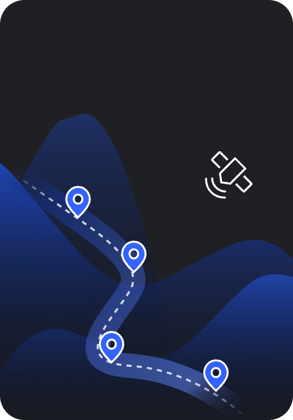
Map Fusion
Large-Area Mapping: Combine multiple scanning sessions with RTK, GCP, or connection points
PPK Support
Enhanced accuracy: PPK-enhanced SLAM improves global alignment and point cloud accuracy
NEW

Quality Control
Accuracy Verification: Automated check point analysis with statistical reporting
Measurement & Analysis Tools
Extract actionable insights from point cloud data. Make precise measurements and generate detailed analysis reports for confident decision-making.
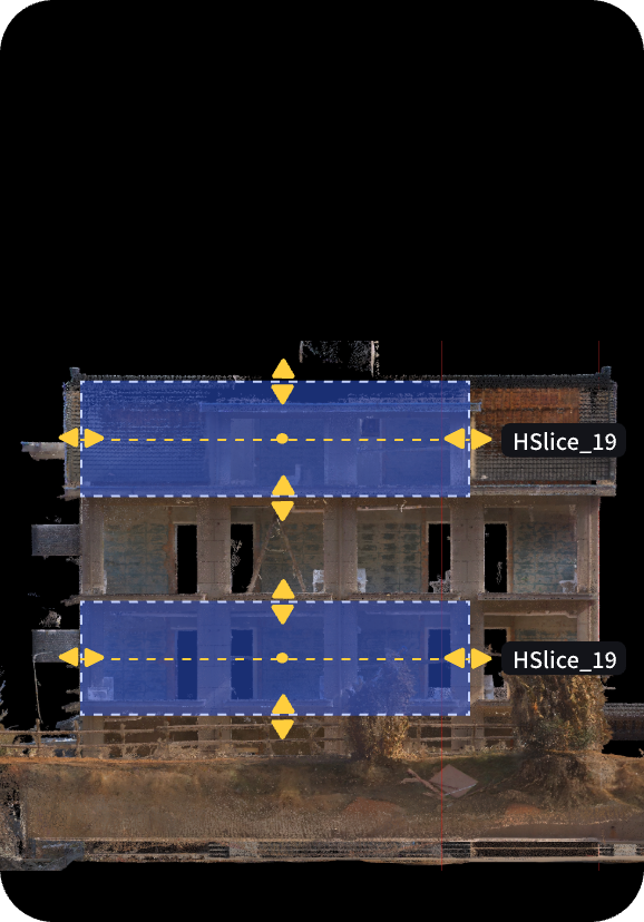
Point Cloud Slicing
Sectioning Tools: Horizontal/vertical slicing for floor plans and cross-sections
NEW
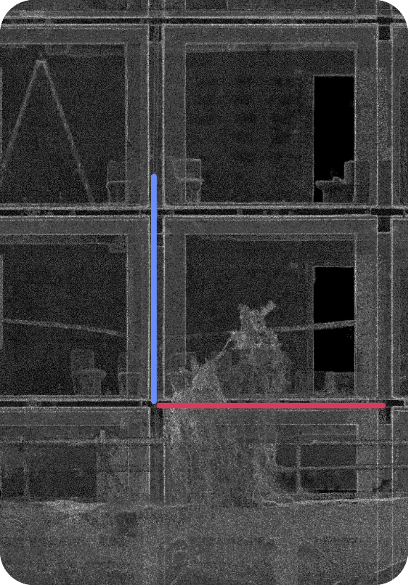
Alignment Tool
Spatial Orientation: Coordinate-aware alignment with fine-tuning controls
NEW
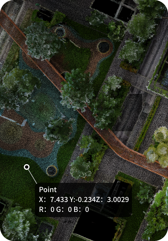
Measurement Suite
Comprehensive Tools: Point, distance, area, angle measurements with imperial/metric units
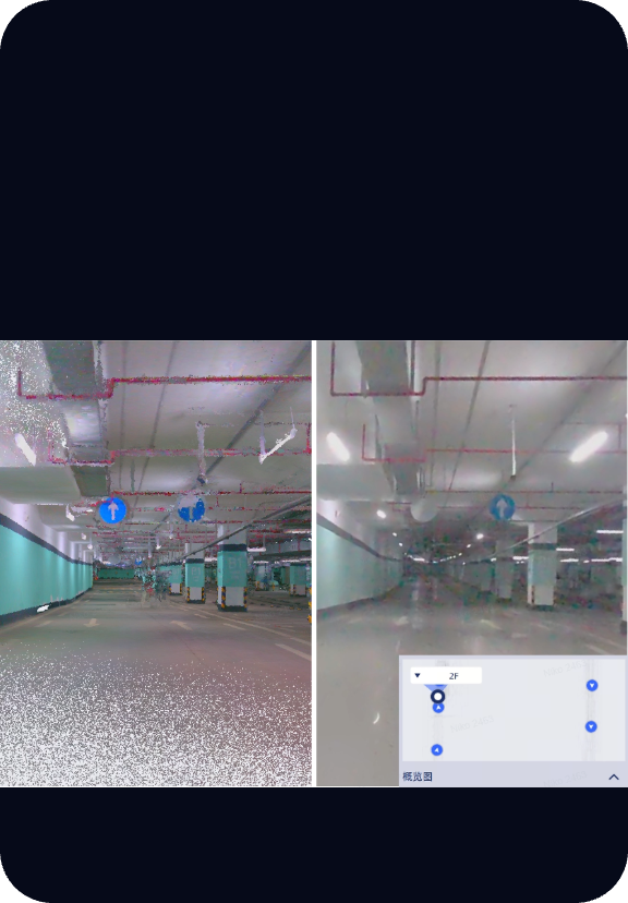
Panorama Overlay
Synchronized point cloud and panoramic viewing with floor-by-floor navigation.
NEW
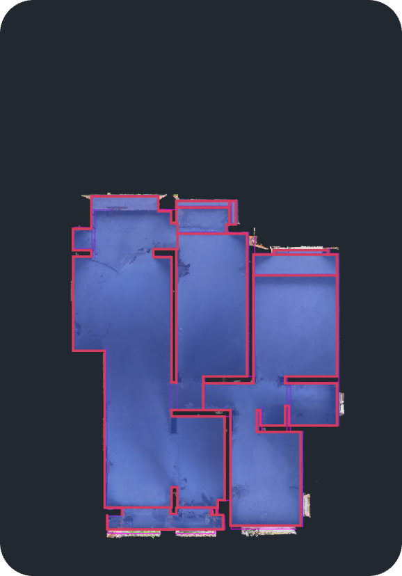
2D Drawing
Floor plan generation from point clouds, including smart 2D contour extraction.
NEW
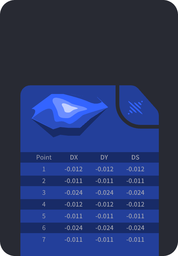
Volume Calculation
Stockpile Management: Single and comparison volume analysis with automated reporting
Professional Workflows
Seamlessly connect to existing systems. Deliver survey-grade results in industry-standard formats that integrate directly into BIM, CAD, and GIS workflows.

Remote Transmission
Real-time point cloud streaming and remote device control for K1/L2Pro devices with live collaboration capabilities.
· Cloud service integration
· Direct USB/WiFi connection
· Remote start/stop control
NEW

Coordinate Systems
Global Standards: Built-in support for HK1980, JGD2011, CGCS2000, custom transformations
· 8+ built-in coordinate systems
· 7-parameter datum transformation
· Geoid model integration
Export Formats
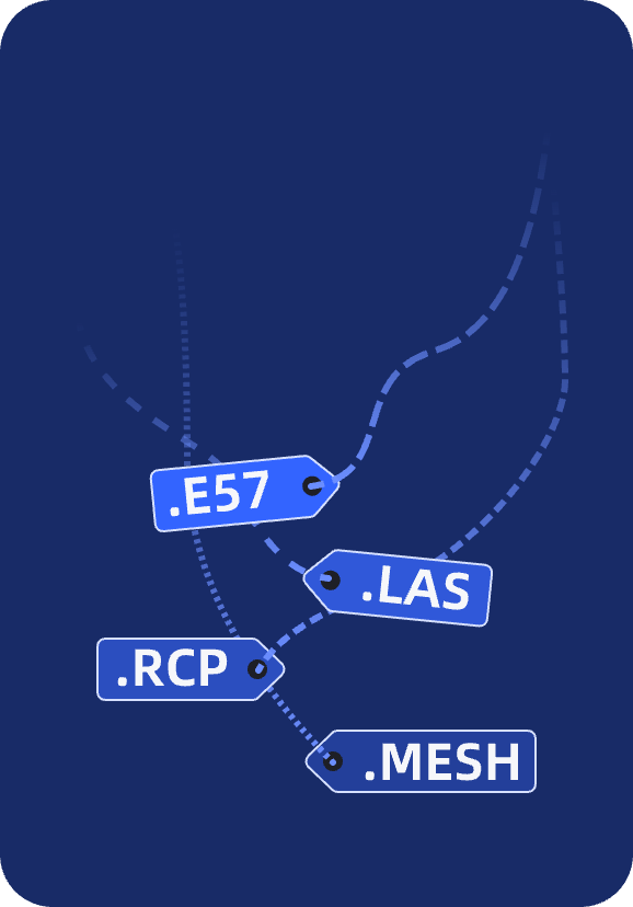
Industry Standards: LAS, E57, RCP, mesh generation for BIM and CAD platforms.
· AutoCAD Recap compatibility
· Structured E57 with panoramic images
· Mesh generation (.obj, .osgb)
Ready to Transform Your Point Cloud Workflow?
See how LixelStudio can reduce processing time from hours to minutes while delivering centimeter-level accuracy for your surveying and mapping projects.

contact us