See, Understand, and Manage Physical Assets in 3D.
Capture facilities, industrial sites, and public infrastructure with mobile 3DGS scanning. Create immersive digital twins for remote inspection, industrial visualization, asset documentation, and operational collaboration. From buildings and factories to campuses and utility networks, one walkthrough transforms physical spaces into measurable, AI-ready spatial data.
Why Traditional Documentation No Longer Works
Why Facilities Need More Than Photos and Drawings
Modern facilities generate enormous amounts of information. Photographs. CAD drawings. Maintenance records. Equipment documentation. Inspection reports. Yet these assets often remain disconnected. When teams need to understand a physical space, they frequently rely on outdated drawings, fragmented documentation, or additional site visits. A digital twin changes that. Instead of documenting individual assets separately, the entire environment becomes a searchable, measurable, and continuously reusable spatial dataset.
Immersive Digital Twins
Transform facilities into interactive 3D photorealistic environments instead of fake 3D.
Remote Inspection
Reduce unnecessary travel by allowing teams to inspect sites remotely.
Large-Scale Spatial Visualization
Visualize factories, campuses, public infrastructure, and industrial environments in real time.
Faster Collaboration
Allow operations, engineering, and management teams to work from the same dataset.
AI-Powered Spatial Understanding
Interact with facilities using natural language and semantic understanding.
Multi-Format Deliverables
Generate 3DGS, point clouds, USDZ, measurements, meshes, panoramas, and web-based experiences from one capture.
From Reality Capture to Operational Insight
Traditional facility documentation often requires multiple workflows. Scanning. Photography. Inspection. Visualization. Reporting.
Step 1
Mobile Spatial Capture
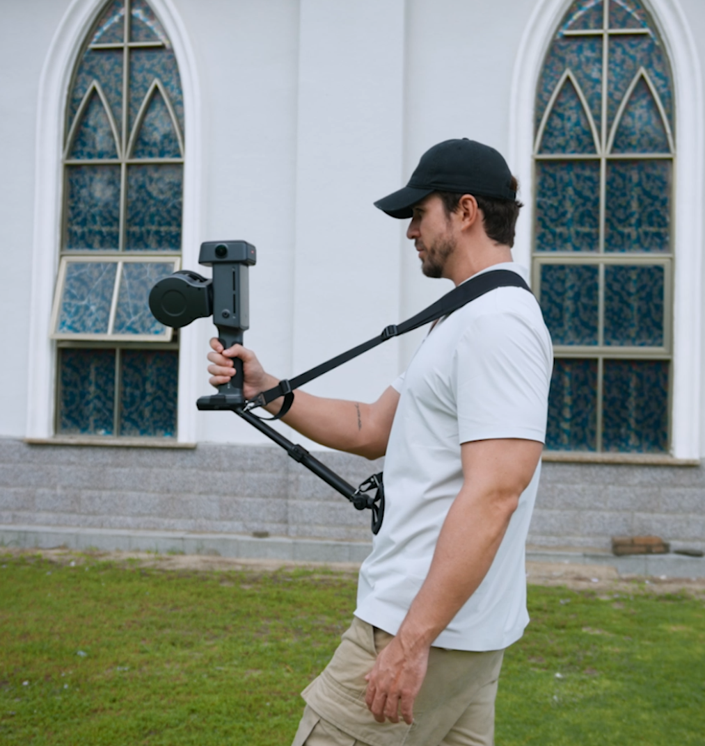
Fix the boundary first: which areas, which equipment, what accuracy. Large sites are walked in segments that register automatically at the overlaps — no control points to set out.
Step 2
Automatic Reconstruction
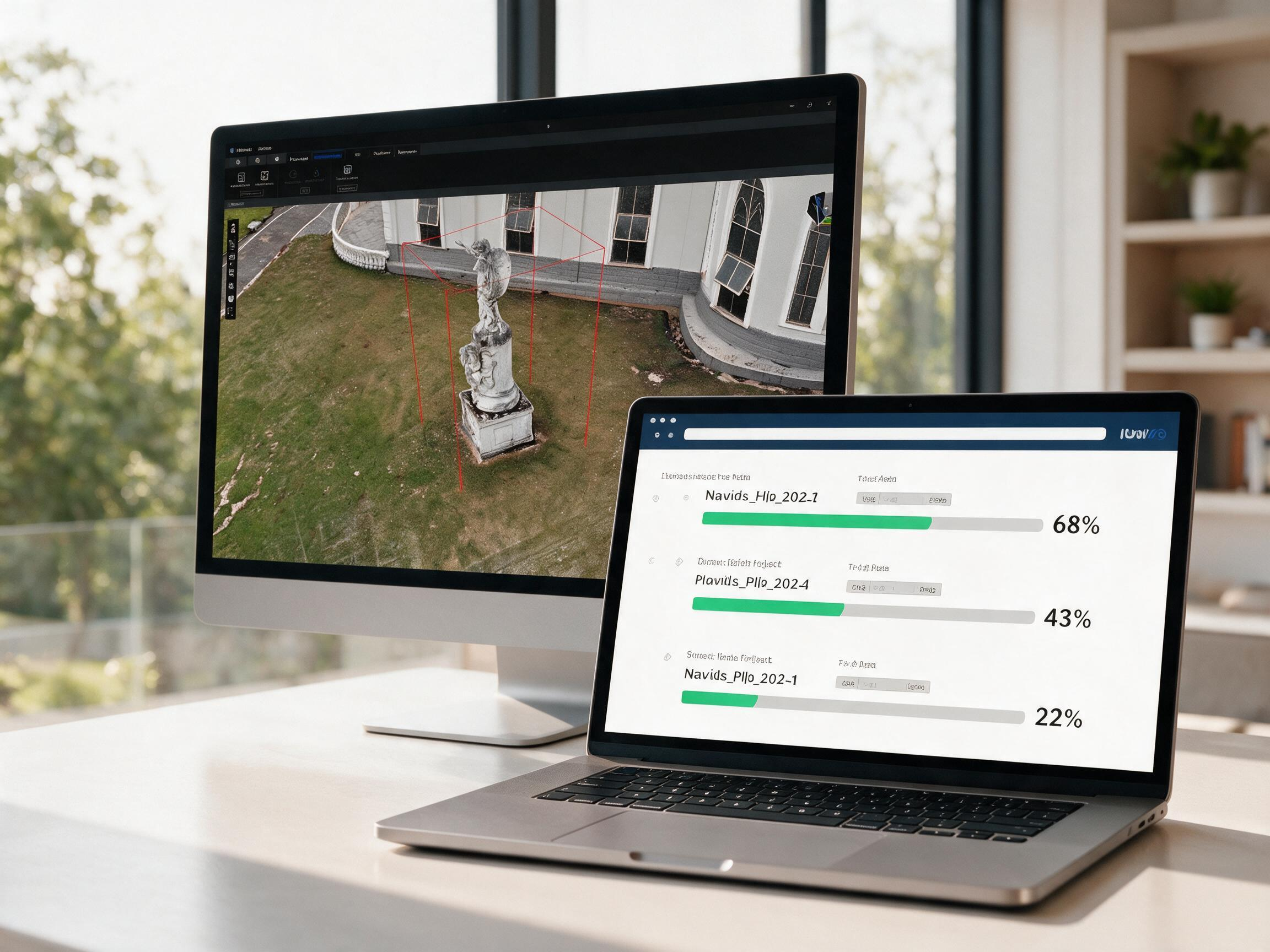
Walk it at normal pace; the app shows live coverage and what is still missing. Flag issues on the spot instead of matching photos to locations later.
Step 3
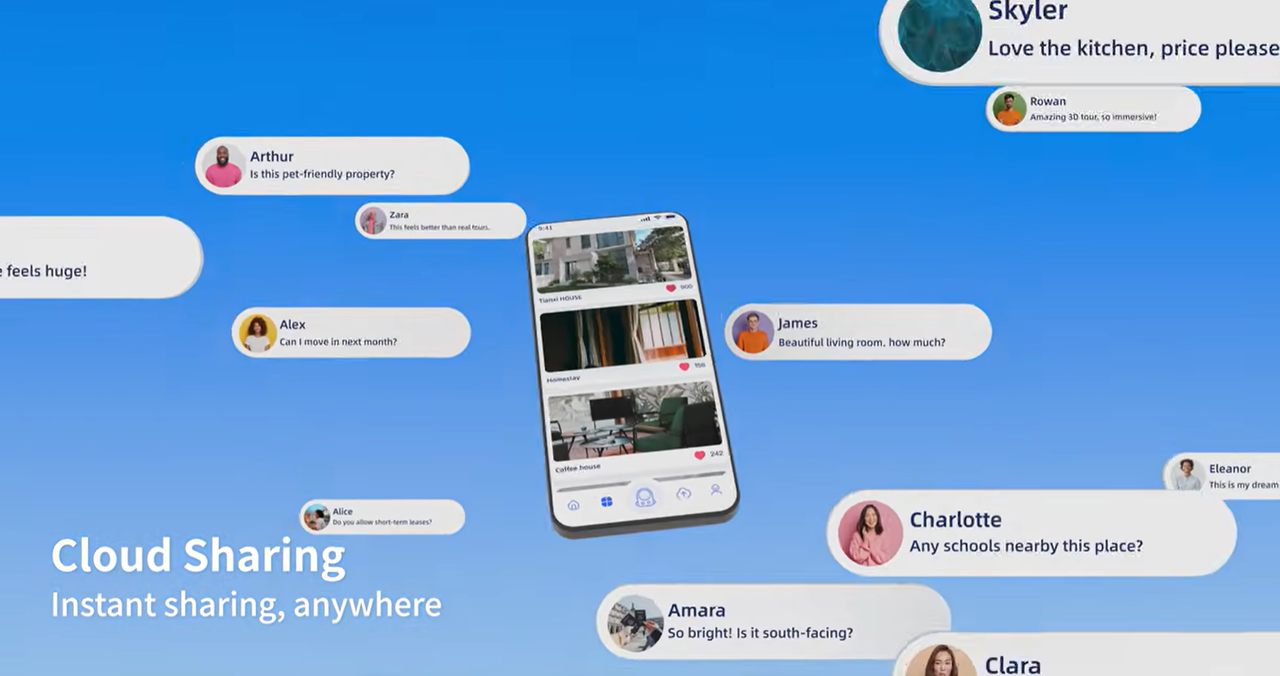
Publish and Share
LixelStudio processes the point cloud and exports LAS, E57 and RCP; Lixel CyberColor produces a walkable 3DGS record. Both from the same capture — no second pass.
Step 4
Analyze and Interact
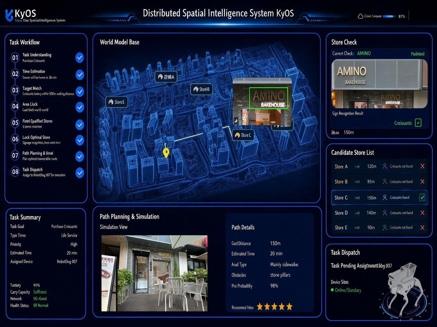
Put equipment locations and asset IDs on 3D coordinates, then feed results into your GIS, CAD or maintenance system in formats they already read. For a control-room display, use the LCC UE SDK.
Step 5
Reuse and Maintain
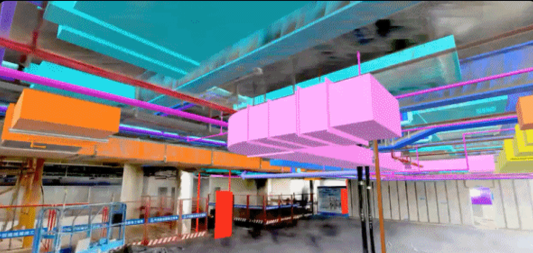
Walk it again quarterly or annually and compare with the previous round on the same datum: additions, removals and movement read straight out. Each round is the baseline for the next.
Lixel Scanners
Handheld mobile scanners at millimeter-level accuracy — lightweight models suit plant rooms, utility corridors and basements where space is tight; larger models cover plant-wide and campus-scale sites.
ProcessLixelStudio
Point-cloud processing and export: LAS, E57 and RCP straight out, into GIS and CAD without conversion.
DeliverLixel CyberColor
Generates a photorealistic 3DGS site you open in a browser to walk, measure and annotate.
Step five loops back to step two: the state of a facility is not a deliverable, it is a record you keep updating. Only once capture gets cheap does "how often" become your decision to make.
Where Teams Use It
From digital twins and remote inspection to industrial visualization and AI-powered operations.
Scenario 1
Digital Twin
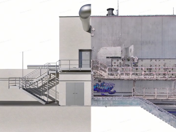
Build a Living Digital Replica of Your Facility
Facility documentation quickly becomes outdated. Static drawings rarely reflect real-world conditions. Teams lose time searching for accurate information.
Create a continuously accessible digital twin with combination of point clouds, 3DGS, panoramic views or BIM models. Capture physical spaces once and revisit them at any time.
- Better visibility
- Faster access to information
- Persistent facility records
- Improved decision-making
Scenario 2
Remote Inspection
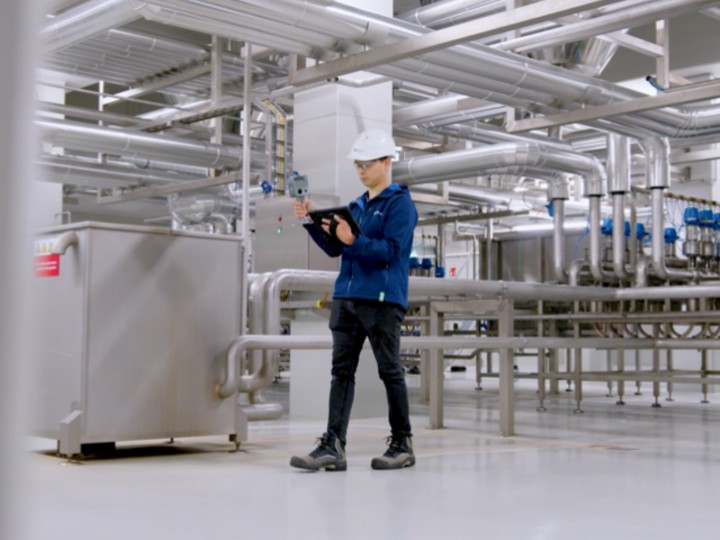
Inspect Facilities Without Returning to the Site
Many inspections still require physical travel. Large facilities increase operational costs and slow response times.
Capture facilities once and conduct inspections remotely. Teams can navigate, measure, annotate, and review environments directly through a browser.
- Fewer site visits
- Faster inspections
- Lower operational costs
- Improved collaboration
Scenario 3
Industrial Visualization
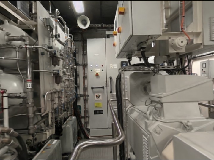
Visualize Complex Industrial Environments in Real Time
Factories, warehouses, and industrial facilities are difficult to communicate using traditional drawings. Complex layouts are difficult for stakeholders to interpret.
Create photoreal 3DGS environments that preserve spatial context and operational details. Large facilities can be explored interactively through web browsers and real-time engines.
- Better stakeholder communication
- Improved spatial understanding
- Faster project reviews
- More effective presentations
Scenario 4
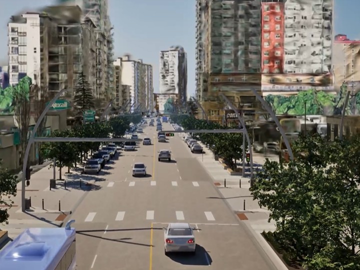
Public Infrastructure
Capture Infrastructure at Any Scale
Roads, underground facilities, transportation hubs, and public assets are difficult to document consistently. Many environments are inaccessible to traditional workflows.
Handheld mobile scanning enables teams to capture: Tunnels, Underground spaces, Stations, Public facilities, Utility corridors.
- Faster data collection
- Better accessibility
- Improved documentation
- More comprehensive spatial records
Scenario 5
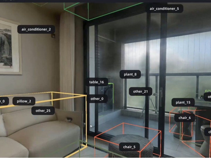
AI-Powered Spatial Operations
Turn Physical Facilities into AI-Ready Data
Most operational data remains isolated inside documents, photographs, and databases. AI cannot easily interpret unstructured information.
3DGS combines appearance, geometry, and spatial relationships into a unified dataset. Facilities become searchable, measurable, and understandable by both humans and AI systems.
- Natural-language interaction
- Semantic understanding
- Spatial search
- AI-assisted operations
Material You Can Verify Yourself
Most facility projects sit under confidentiality and site-security constraints, so publicly citable cases are still being cleared one by one. Until then, here is what you can verify hands-on today.
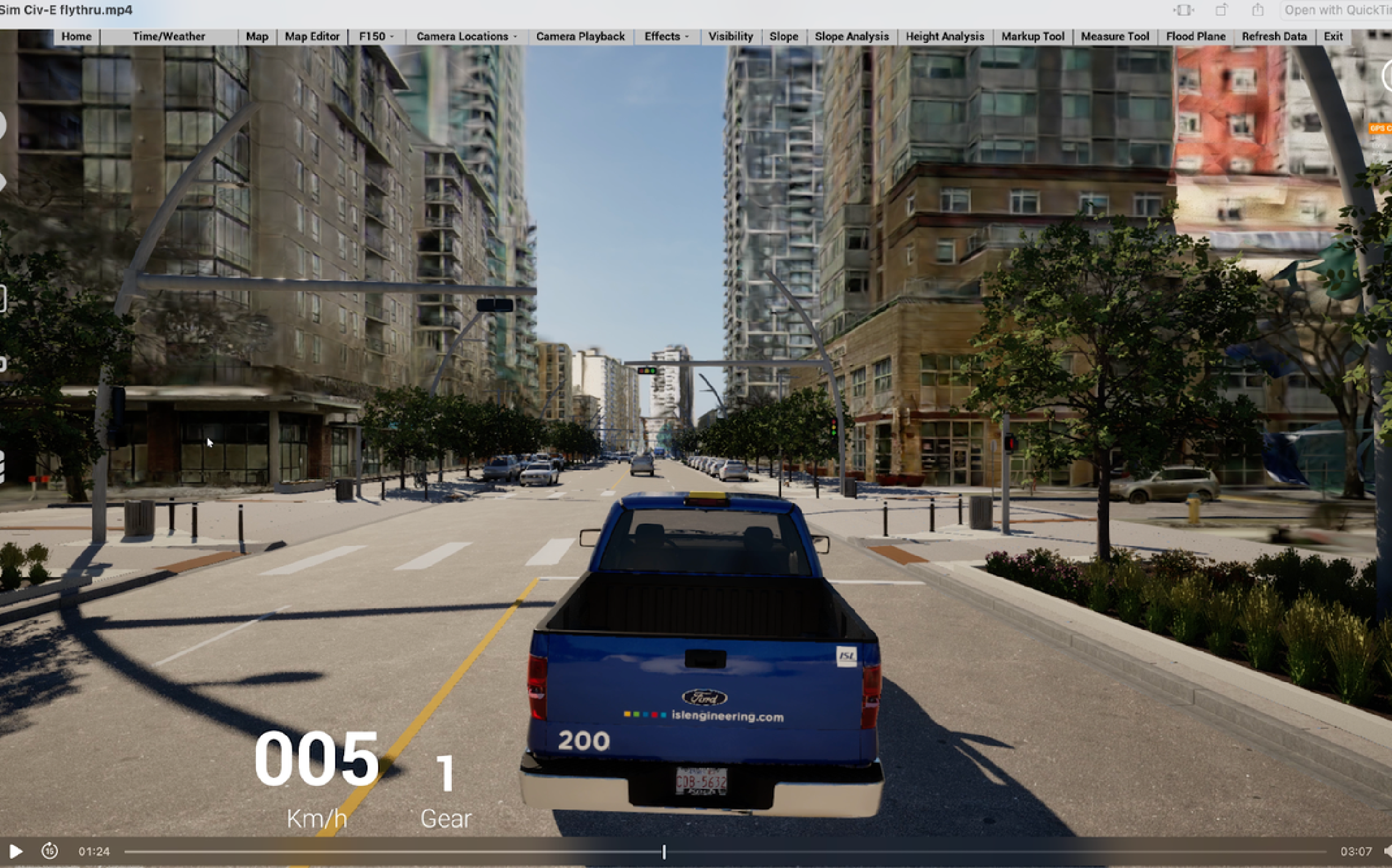
Urban Design: How ISL Used XGRIDS 3DGS to Transform Stakeholder Engagement
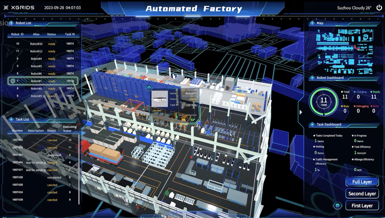
Empowering Digital Factories: Seamless Automation from Scan to Full-Element 3D Modeling and Spatial Culculation
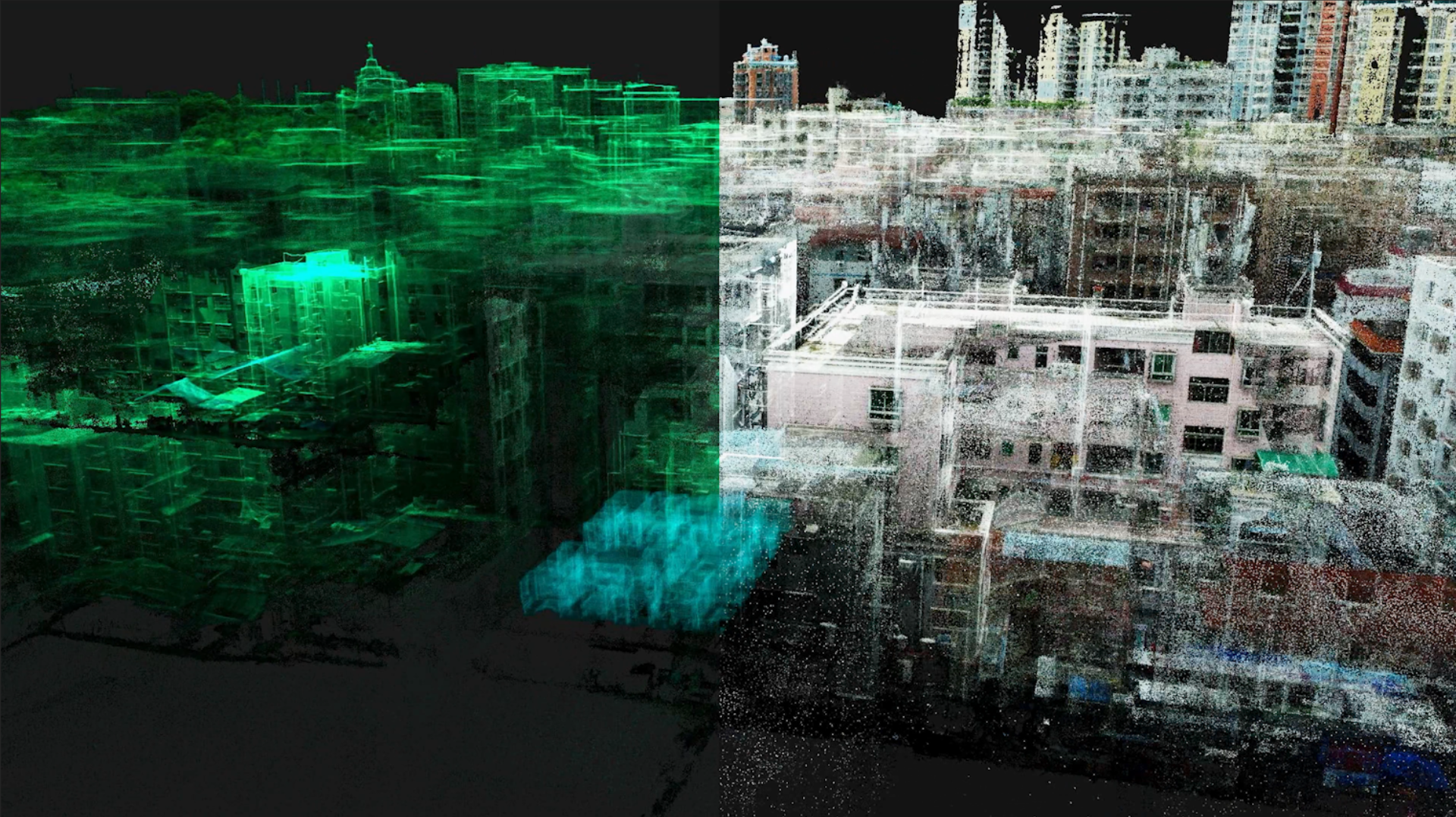
50% Accelerated Full-Project Lifecycle Infrastructure QA Using XGRIDS LiDAR + 3DGS Solution - AECT SOLUTIONS in Australia
Frequently Asked Questions
Common questions about accuracy, signal-free environments, system integration and re-scan frequency.
Lixel L2 Pro gives 1cm relative, 3cm absolute accuracy — enough to locate equipment, check clearances and aisles, and confirm space before a retrofit. For component-level dimensions on one unit, add local measurement at key points.
Yes. The device localises with SLAM rather than satellite positioning, so interiors, basements and utility corridors map continuously. These spaces are also cluttered and narrow, where a handheld unit reaches what a tripod cannot.
LixelStudio exports LAS, E57, RCP, OBJ and PLY — formats GIS, CAD and most maintenance platforms read directly, with no middleware. The 3DGS site embeds into existing pages by link, or goes into an engine via the LCC UE SDK.
It depends on how fast the facility changes, not a fixed interval. Frequent-retrofit areas suit a quarterly cycle; stable areas are fine annually. Around overhauls or moves, capture before and after. Since capture is one walk-through, set the frequency per area.
Three cases call for something else. Millimetre single-point accuracy still favours tripod scanning. Areas you cannot enter at all are out of reach for a handheld unit too, and need a drone. And capture records geometry and appearance only — condition, temperature and vibration need dedicated tools, which the 3D data then locates accurately.
Plug Into the Tools You Already Run
You do not have to change systems. Point cloud and 3DGS enter the platforms you already use, in formats they already read.
LCC UE SDK
Control-room displays and real-time visualisation in Unreal, with billion-scale scenes still rendering live.
LCC for Revit
Bring the 3DGS site into Revit to compare as-is against the existing model side by side.
GIS · CAD Formats
LAS, E57, RCP, OBJ and PLY straight out — into GIS and CAD with no conversion step.
Browser Sharing
Viewable by link, so remote teams and contractors install nothing.
Capture Once. Understand Forever.
Start transforming your facility management workflow with spatial capture technology.