Turn Any Property into an Interactive Spatial Experience.
Capture an entire property in a single walkthrough and transform it into a photoreal, measurable, AI-ready digital twin. Create immersive tours, floor plans, marketing assets, renovation references, and long-term property records from one scan.
Why Real Estate Teams Are Moving Beyond Photography
Why Photos Are No Longer Enough
Real estate has always relied on photographs, videos, and floor plans to communicate spaces. But properties are three-dimensional with structure and spatial information. A photograph captures a moment. A spatial model captures the entire environment. Instead of repeatedly revisiting a property to answer new questions, agents and teams can preserve every detail in a complete digital replica.
Immersive Property Tours
Allow buyers to explore properties naturally, rather than clicking through a collection of photos and distorted videos.
Multiple Deliverables from One Scan
Generate 3D tours, panoramas, screenshots, floor plans, measurements, and marketing assets simultaneously.
Faster Sales Cycles
Reduce unnecessary site visits and shorten decision-making timelines.
Better Collaboration
Agents, buyers, architects, designers, and property managers all work from the same spatial dataset.
AI-Powered Property Intelligence
Apply AI to recognize rooms, segment spaces, make virtual staging, and automate property analysis.
Future-Proof Digital Assets
Maintain a complete digital archive of every property for renovation, management, and future transactions with accurate spatial data.
The XGRIDS Real Estate Workflow
Traditional property documentation requires multiple tools: photos, videos, floor plans, measurements, virtual tours.
Step 1
Mobile Spatial Capture
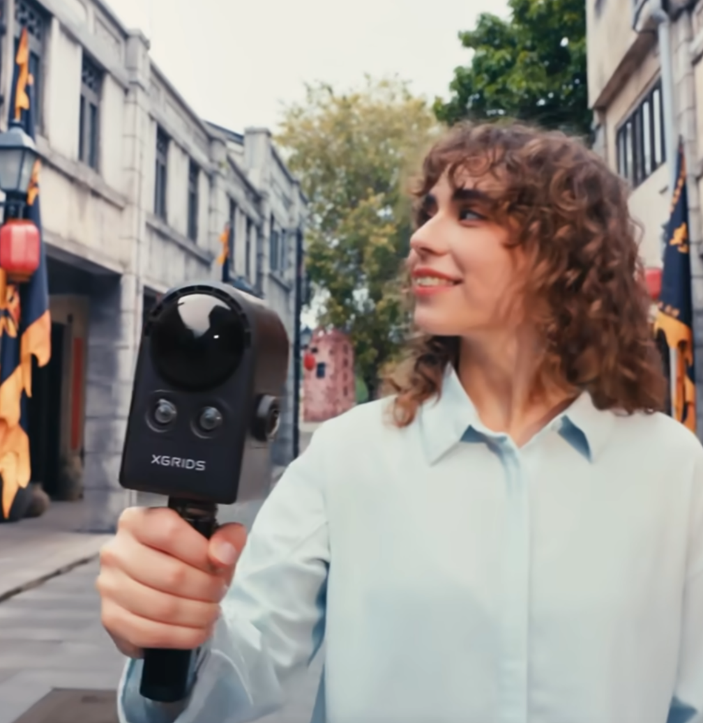
Walk through the property with PortalCam. No tripods. No markers. No complicated setup. One person can capture an entire residence in minutes.
Step 2
Automatic 3DGS Reconstruction
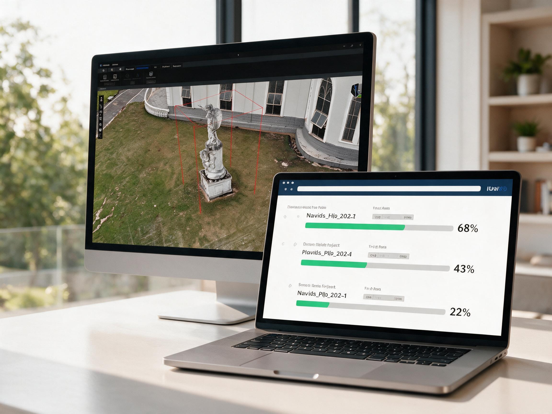
LCC automatically reconstructs the property as a photoreal 3D Gaussian Splatting scene. Moving objects and people are removed automatically. Local processing and cloud services options for different properties management purposes.
Step 3
Generate Multiple Deliverables
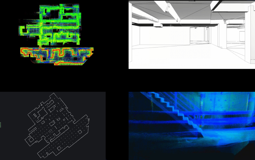
Create: · Immersive walkthroughs · Panoramic views · Property snapshots · Measurements · Floor plans · Marketing materials All from the same 3D capture walkthrough.
Step 4
Share and Collaborate
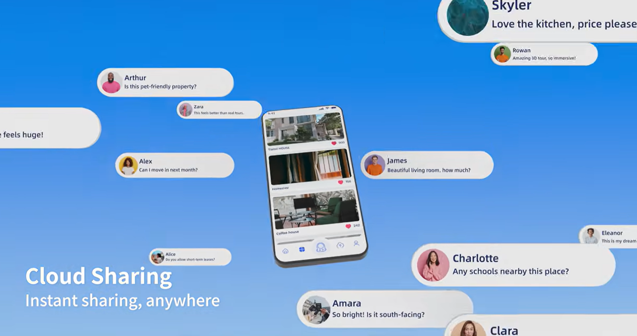
Publish the property through a browser. Clients, agents, designers, and remote teams can explore the same environment from anywhere.
Step 5
Analyze and Reuse
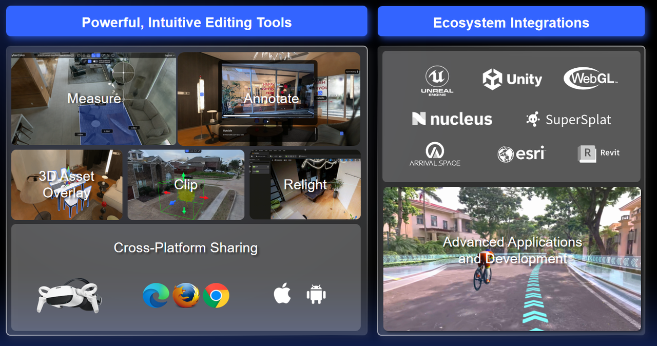
The captured property becomes a long-term digital asset with cm-level accuracy. Use it for virtual staging, renovation planning, facility management, insurance documentation, property valuation, or future resale.
PortalCam
Mobile spatial camera for capturing entire properties in minutes.
ReconstructLCC Studio
Automatic 3DGS reconstruction with multiple deliverable outputs.
ProcessLCC Cloud
Cloud processing and sharing for team collaboration and batch management.
ProcessLixelStudio
Export to common formats for design and engineering teams.
From walkthrough to digital twin — one workflow covers the entire property lifecycle.
Where Real Estate Teams Use It
From luxury marketing to AI-powered property intelligence — see how teams apply spatial capture across the industry.
Scenario 1
Luxury Property Marketing
Present Properties the Way Buyers Experience Them
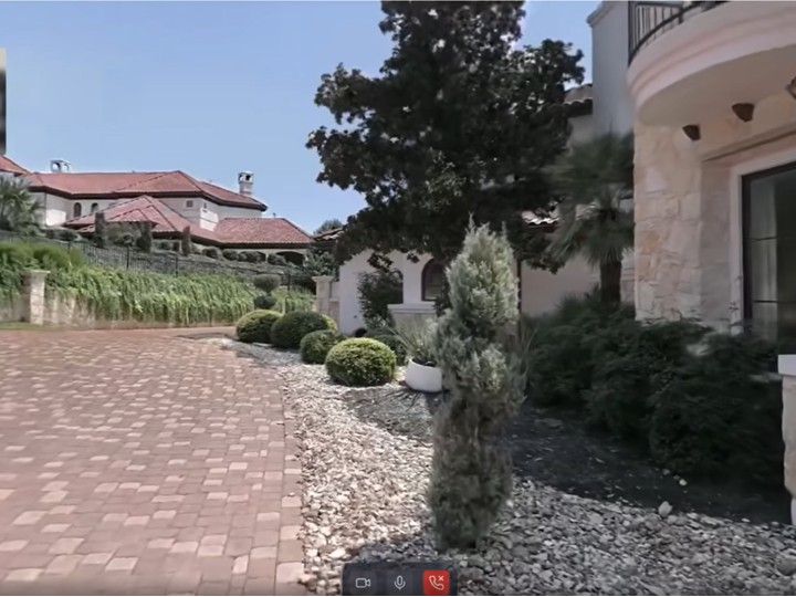
High-end properties often lose their impact in traditional photographs. Spatial relationships disappear. Room dimensions become difficult to understand. Remote buyers struggle to appreciate the property.
Create an immersive, interactive walkthrough that allows buyers to explore the property naturally. Instead of looking at individual photos, they experience the entire space.
- Immersive property presentation
- Higher buyer engagement
- Better remote viewing experiences
- Stronger emotional connections
Scenario 2
Remote Property Viewing
Reduce Site Visits Without Sacrificing Context
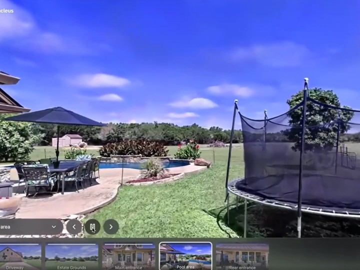
International buyers cannot always visit a property in person. Multiple trips increase costs and slow transactions.
Capture the property once. Share it instantly with online platform like Nucleus3D, SplatLabs, StorySplat and VIOS. Buyers, investors, and stakeholders can revisit the property as often as necessary.
- Fewer physical visits
- Faster decision-making
- Better communication
- Shorter sales cycles
Scenario 3
Interior Design and Renovation
Design Inside the Real Space
Interior designers often rely on incomplete measurements and static photographs. Miscommunication leads to redesigns and additional site visits.
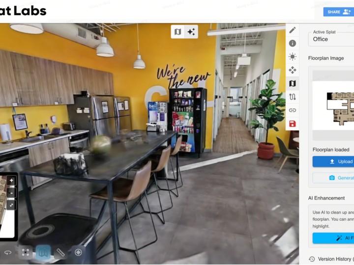
Create an accurate digital replica. Measure directly within the scene. Import the property into design tools. Plan furniture layouts, renovations, and remodeling inside the real environment.
- Accurate measurements
- Fewer site visits
- Faster design iterations
- Better communication between designers and clients
Scenario 4
AI-Powered Real Estate
Transform Properties into AI-Ready Spatial Data
Photographs contain pixels. They don't understand spaces. AI applications require structured spatial information.
3DGS captures geometry, appearance, and spatial relationships simultaneously. AI can identify rooms, objects, layouts, and semantic information. Properties become searchable, analyzable, and machine-readable.
- Automated room recognition
- Spatial understanding
- AI-assisted analysis
- Future-ready property datasets
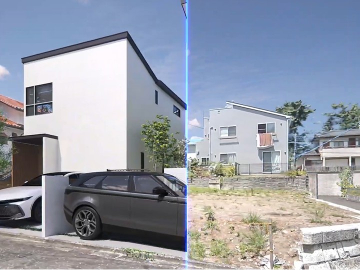
Real Estate Success Stories
Properties captured with XGRIDS technology across luxury, commercial, and residential markets.
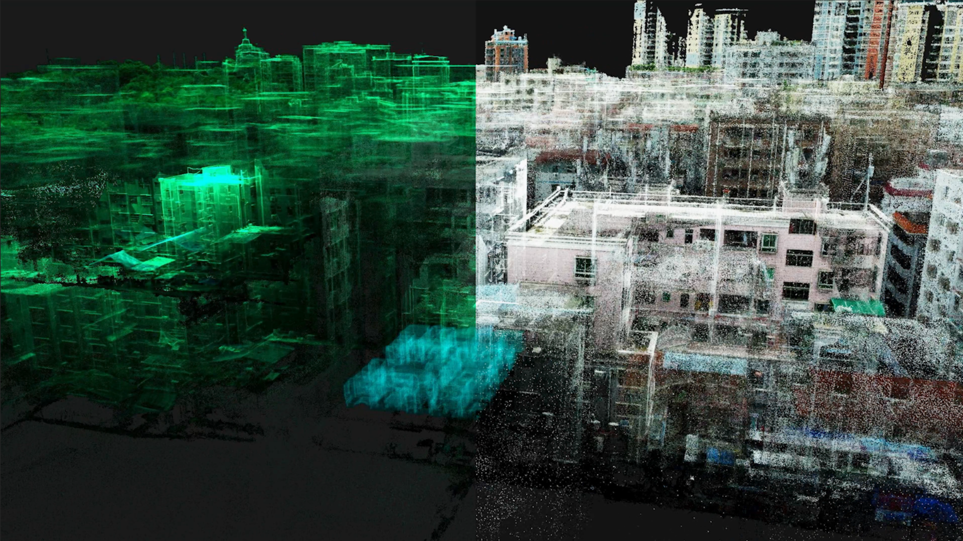
Real Estate Surveying and Mapping Case Study: How XGRIDS Revolutionizes Floor Plan Creation with SLAM Technology
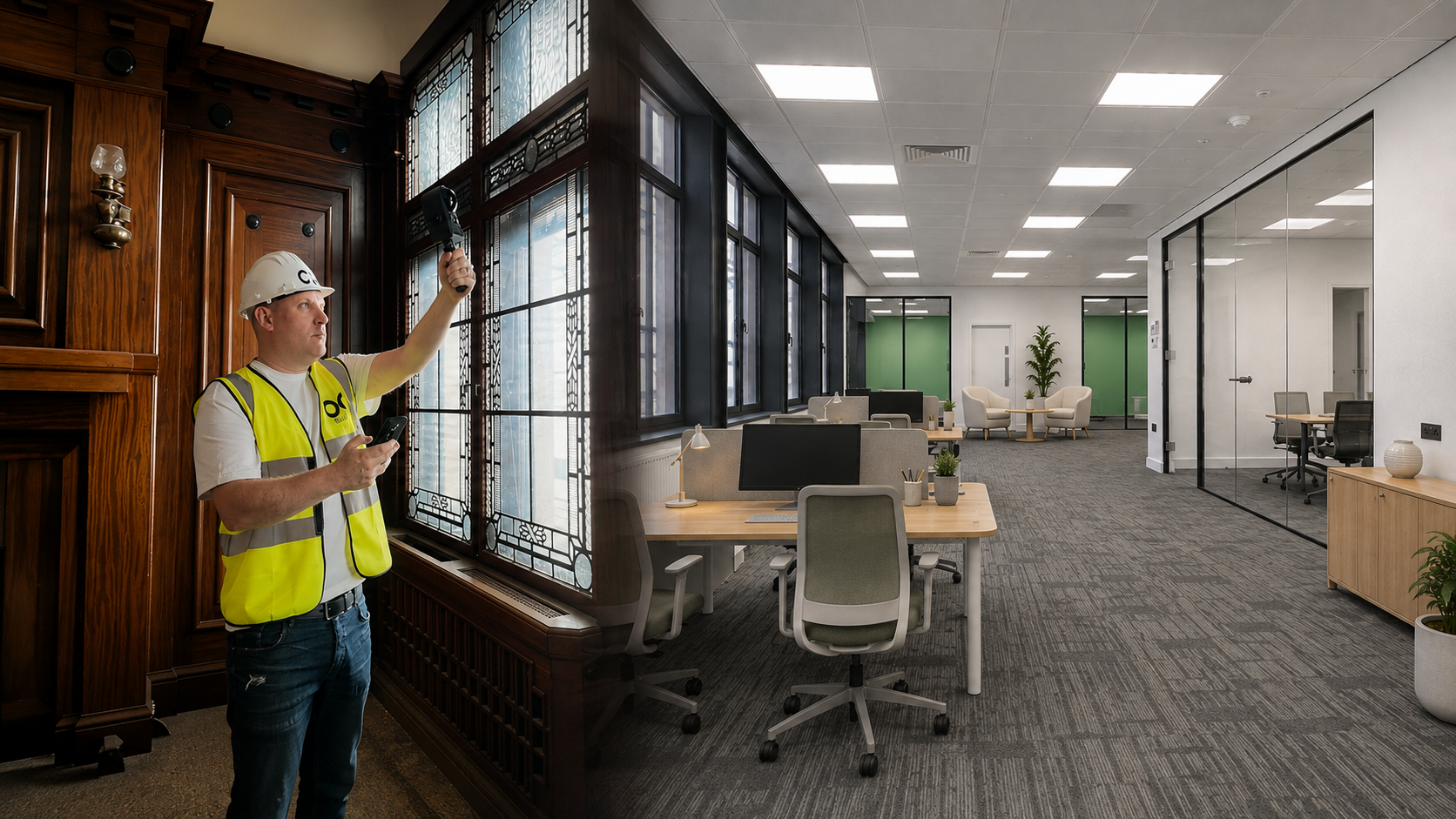
Marketing Commercial Space Mid-Renovation: Permanent Buildings, Halifax
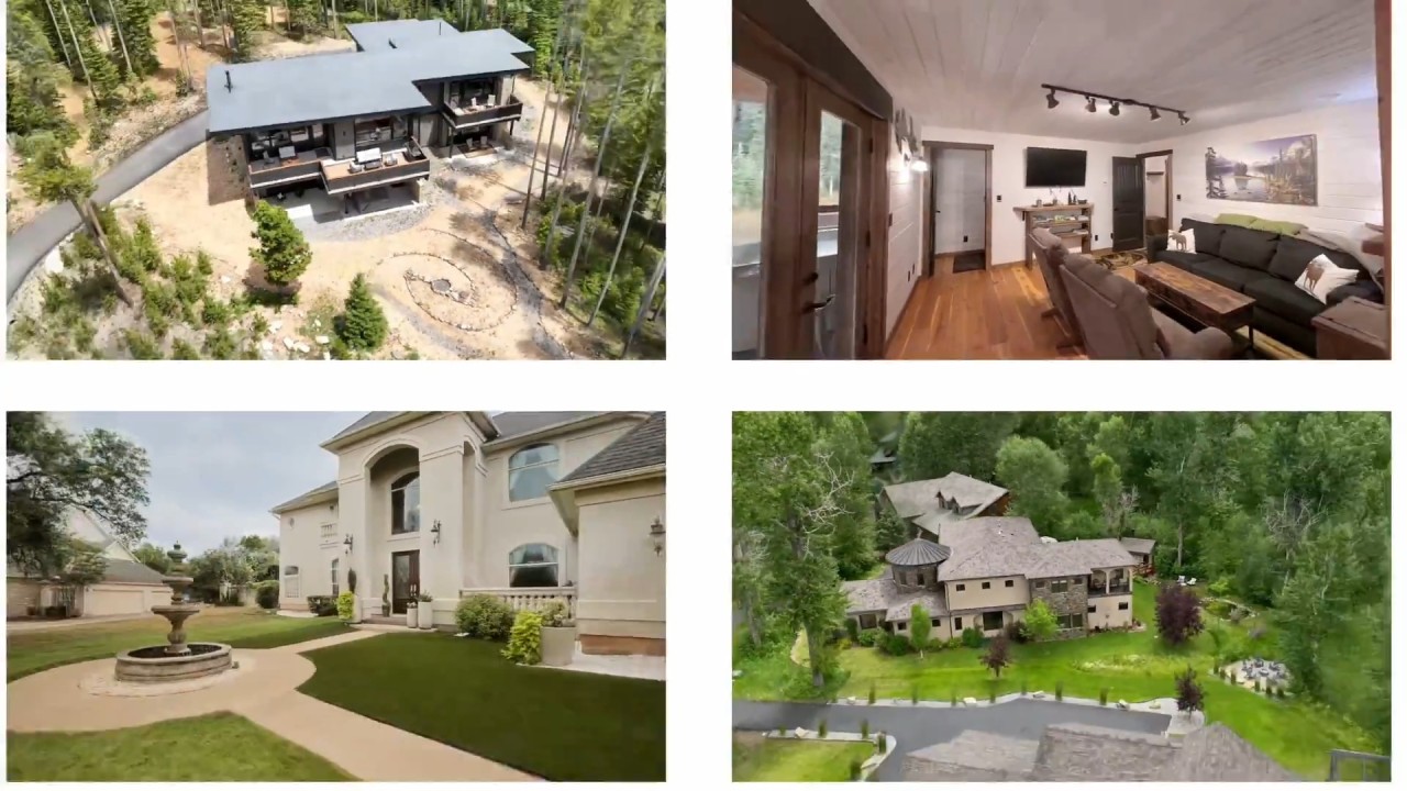
How Nucleus4D Built a Spatial Property Platform for North America
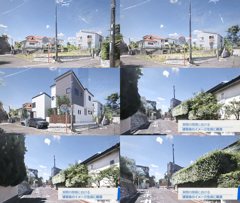
Spatial Context: How Active Retech Enhances Architectural Proposals with XGRIDS 3D Spatial Capture
Frequently Asked Questions
Common questions about XGRIDS for real estate applications.
360° tours connect a series of panoramic images. XGRIDS reconstructs the entire property as a continuous 3D environment that users can navigate freely with accurate geometry and no distortion.
Most residential properties can be captured in less than 30 minutes.
No. PortalCam spatial camera is designed for real estate professionals rather than surveyors.
Yes. Measurements, layouts, and other deliverables can be generated from the same scan.
Yes. Properties can be published through a web browser and accessed remotely. Properties can also be managed with XGRIDS partners platform such as Nucleus3D, SplatLabs, VIOS, StorySplat and Blurry.
Yes. AI can recognize rooms, segment spaces, and extract semantic information from the spatial model.
Integrations & Partners
Works with the tools you already use.
Nucleus3D
Spatial content management and publishing.
SplatLabs
3DGS editing and collaboration tools.
StorySplat
Web-based 3DGS experience publishing.
VIOS
AI-powered spatial analytics platform.
Blurry
Interior design and rendering tools.
Playcanvas-Supersplat
Digital Twin Platforms.
Capture Once. Use Everywhere.
Start transforming your real estate workflow with spatial capture technology.