Events & Webinars
XGRIDS at NVIDIA GTC 2026: Bridging Real-World Spaces and Physical AI Through Real2Sim
XGRIDS at NVIDIA GTC 2026: Bridging Real-World Spaces and Physical AI Through Real2Sim
On October 17th, XGRIDS hosted a session in its 3DGS Webinar Series titled "3DGS Documentation for Heritage Sites and Historic Buildings." Featuring Jasper van der Klooster (InformARbv) and Mindy Li (XGRIDS), the webinar explored how point clouds and 3D Gaussian Splatting (3DGS) are redefining the way we document, visualize, and preserve cultural heritage through photorealistic, explorable digital twins.
On October 17th, XGRIDS hosted a session in its 3DGS Webinar Series titled "3DGS Documentation for Heritage Sites and Historic Buildings." Featuring Jasper van der Klooster (InformARbv) and Mindy Li (XGRIDS), the webinar explored how point clouds and 3D Gaussian Splatting (3DGS) are redefining the way we document, visualize, and preserve cultural heritage through photorealistic, explorable digital twins.
In the Netherlands, Jasper emphasized that preservation is not only about maintaining physical structures but also about keeping stories, craftsmanship, and cultural identity alive. Yet, many monuments are difficult to access or deteriorate over time.
Through 3D digital twins, museums, architects, and the public can explore spaces virtually — making heritage accessible to all. “You can really see the layers of time in old buildings,” Jasper noted, highlighting how traditional 2D photos cannot capture such depth and nuance.
A key discussion focused on the limitations of traditional documentation methods.
2D photography suffers from distortion, a single viewpoint, and lack of measurable data, while point clouds — though precise — often appear incomplete and are difficult to handle due to their size and computational demands.
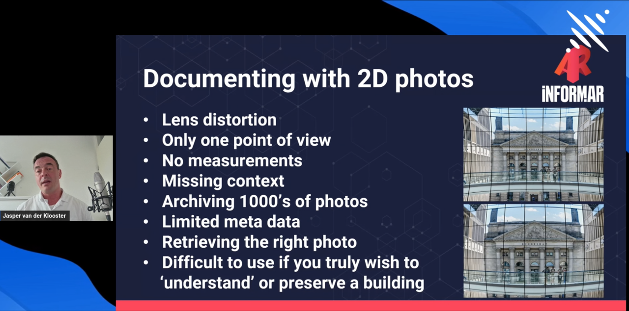
3D Gaussian Splatting (3DGS) represents the next evolution, enriching each data point with volume, shape, color, and orientation to create photorealistic spatial representations that combine accuracy with visual realism.
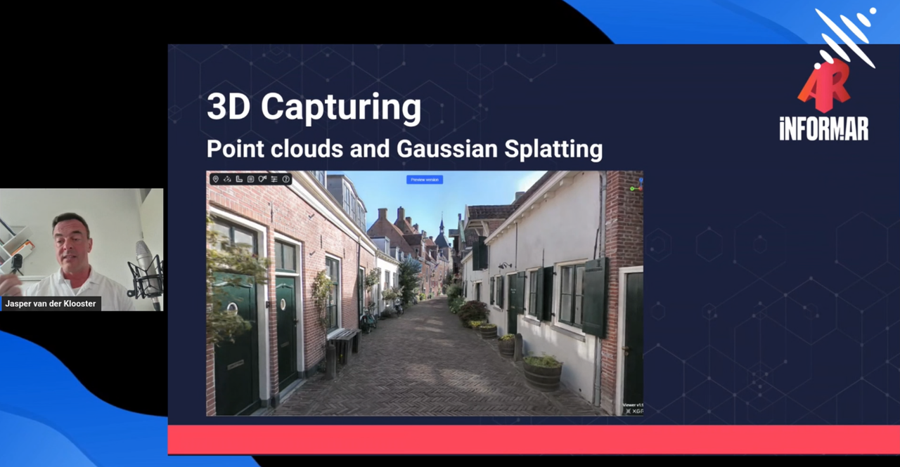
The webinar emphasized a unified workflow that bridges high-fidelity data capture and accessible visualization.
Jasper van der Klooster demonstrated the XGRIDS PortalCam as a pivotal tool in this process. Its portability and real-time feedback via the LCC Scan (mobile app for preview) enable efficient and complete on-site capture. Datasets generated by PortalCam and LCC Studio are optimized for interactive visualization in web-based, VR, and AR environments.
In a live demo, Jasper showcased a scan of a 16th-century café in Amersfoort, the Netherlands, completed in just ten minutes. The resulting interactive model delivered remarkable realism, suitable for virtual tourism and digital preservation.
“With tools like PortalCam, we can document monuments, tell stories, and even provide access for people who can’t visit in person,”he shared.
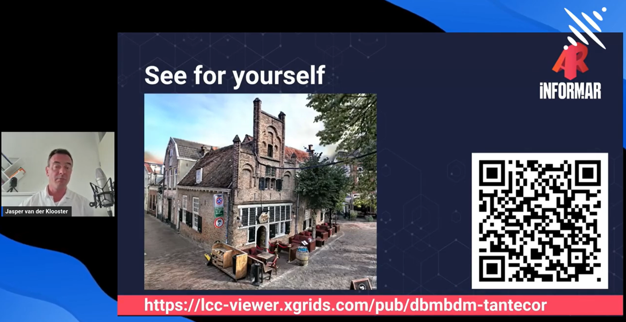
The live demo is available here for direct exploration.
Expanding on the ecosystem, Mindy Li detailed XGRIDS’ comprehensive hardware and software suite.
The Lixel series scanners (Lixel L2 Pro & LixelKity K1) and LixelStudio software generate high-accuracy point clouds for precise measurement, while PortalCam and Lixel CyberColor deliver optimized visualization through 3D Gaussian Splatting. This “one scan, multiple datasets” strategy supports seamless integration with Unity, Unreal Engine, and WebGL via dedicated SDKs.
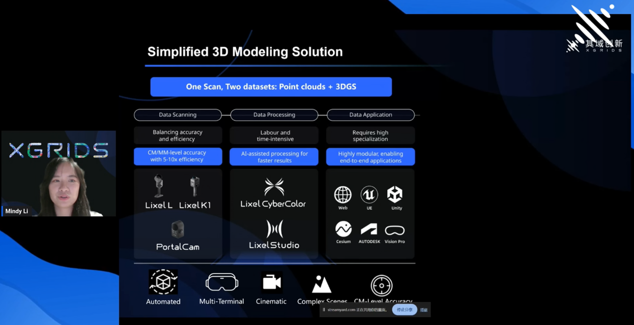
Mindy also presented global use cases — from a village renewal project in China, where 3D models enabled interactive design studies, to a film production that used 3DGS data for virtual location scouting and LED wall projection for virtual production, significantly improving production efficiency and creative flexibility.
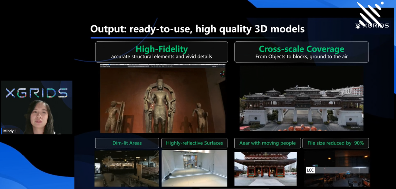
Together, these examples demonstrated how XGRIDS’ unified workflow transforms spatial documentation into immersive, actionable experiences — improving operational efficiency, reducing fieldwork costs, and expanding possibilities in education, cultural heritage, and digital storytelling.
A vibrant Q&A session followed, with global participants discussing accuracy benchmarks, hardware performance, and new business opportunities for 3D digital assets.
Both Jasper and Mindy pointed to the growing synergy between generative AI and 3DGS, envisioning smarter, more automated workflows for cultural preservation by adoting spatial computing technologies.
“Generative AI can help scanners understand environments better, while reality capture provides the authentic data AI can learn from,” Mindy noted. “Together, they’ll redefine how we preserve what’s real.”
The full webinar replay is now available on the XGRIDS YouTube Channel: https://youtu.be/HS7G9oSJy9w?si=7DlVGQASAGdhnw25
Click and explore how 3DGS is transforming the future of cultural heritage documentation and immersive visualization.
To stay updated on upcoming webinars, case studies, and the latest developments in 3DGS technology, subscribe to our newsletter, follow XGRIDS on social media, or join our Facebook User Group. We’ll keep you informed about new events, product updates, and real-world applications from our global community.
XGRIDS at NVIDIA GTC 2026: Bridging Real-World Spaces and Physical AI Through Real2Sim
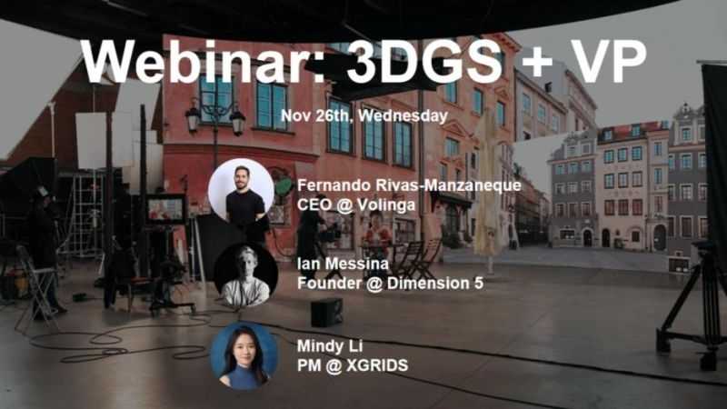
How 3D Gaussian Splatting is closing the gap between spatial capture and in-engine virtual production
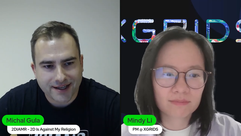
Building Accurate, Photoreal 3D Environments for Real-Time Applications
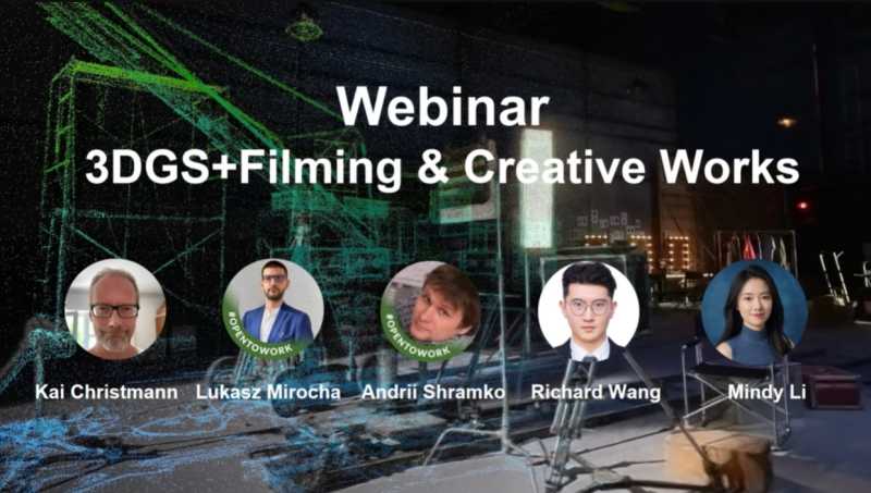
In this webinar, we brought together creators from film, virtual production, and interactive design to explore how 3D Gaussian Splatting (3DGS)—a cutting-edge rendering technique—is being applied across different creative pipelines.