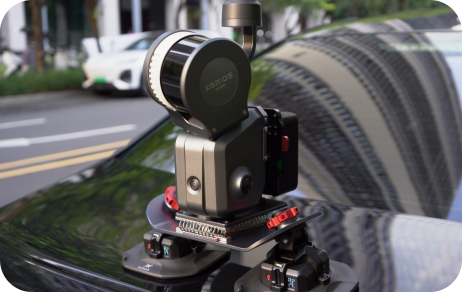
Watch Intro 

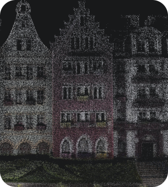
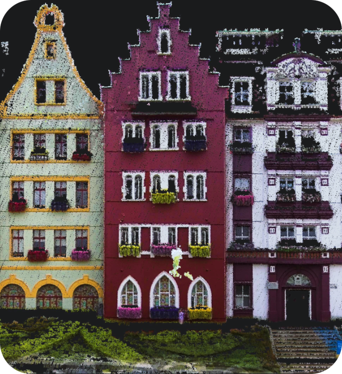
Absolute Vertical Accuracy¹
3cmAbsolute Horizontal Accuracy²
3cmRelative Accuracy³
2cm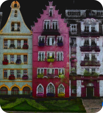



Products you are interested in 
Lixel L3
Lixel K2
Lixel L2 Pro
Lixel K1
Lixel CyberColor
PortalCam
Personal Information
Country/Region

Industry (Select One)
GIS/Mapping
Smart City
Emergency Rescue
Energy/Electricity
Transportation
Tourism/Museum
Industrial Manufacturing
Digital Twin/Metaverse
Agriculture/Forestry
AR/VR
E-commerce
Design/Art
Education/Culture
Media
Film/Game
AEC
How did you learn about XGRIDS?
Exhibition
Friends or Clients
Social Media
Search Engine
Distributor / Agent
Please briefly describe your needs and usage scenarios.
 Yes, I would also like to sign up for the XGRIDS newsletter