Capture
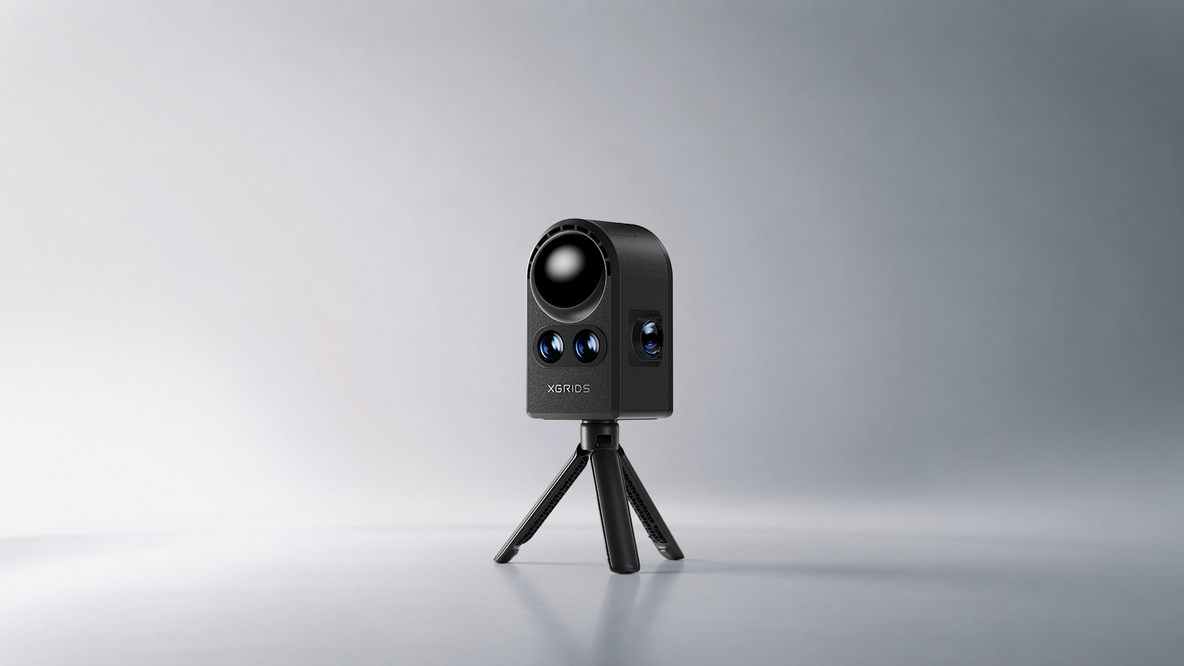
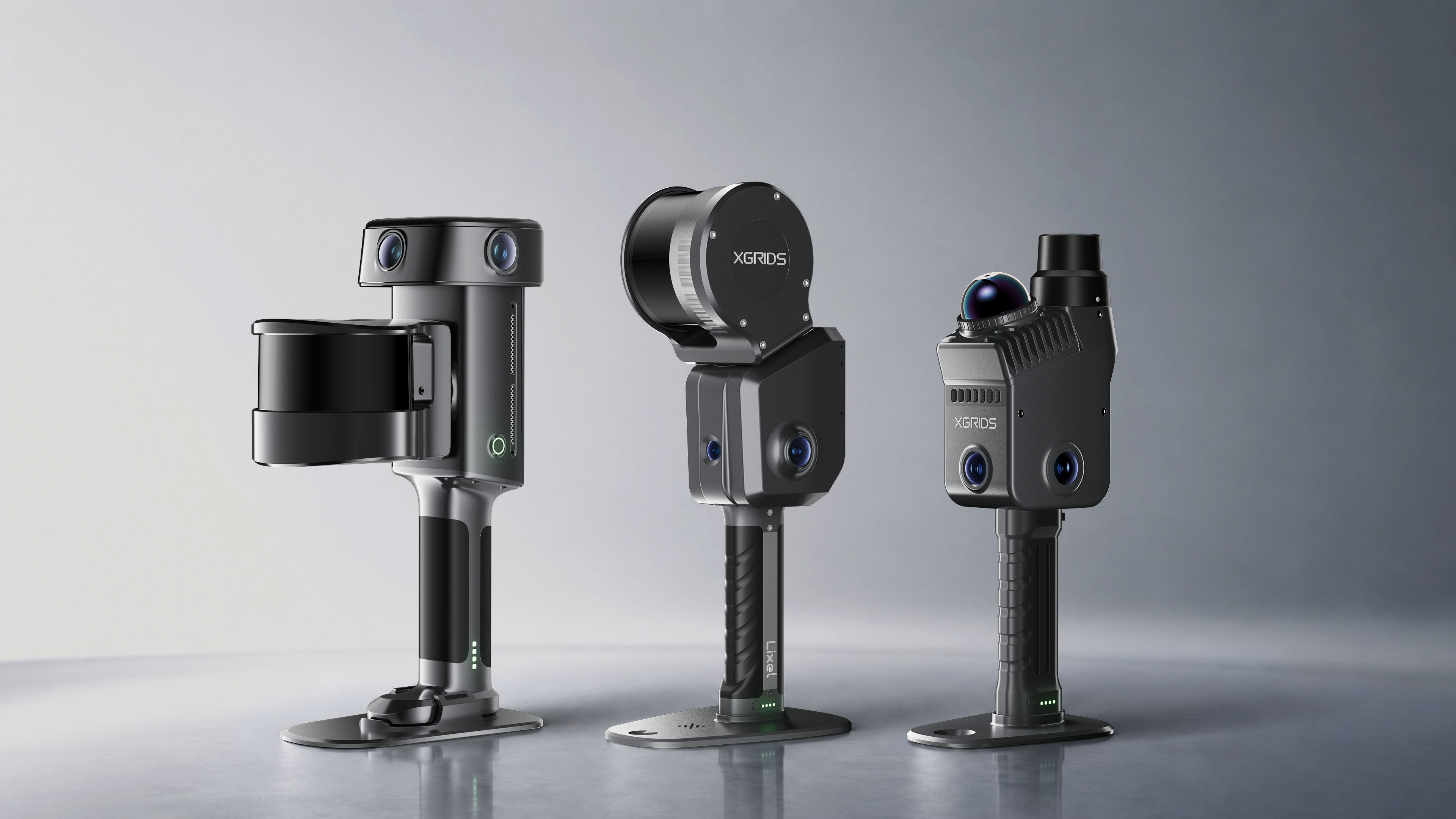
Full-scale real-world capture
From a single object to an entire city. Walk through the space and capture as you go, at true real-world scale.
We make the real world readable to AI
One end-to-end workflow: capture the real world as you walk, reconstruct it into accurate 3D, make it queryable, and build on it — from a single room to an entire city.
Full-scale real-world capture
From a single object to an entire city. Walk through the space and capture as you go, at true real-world scale.
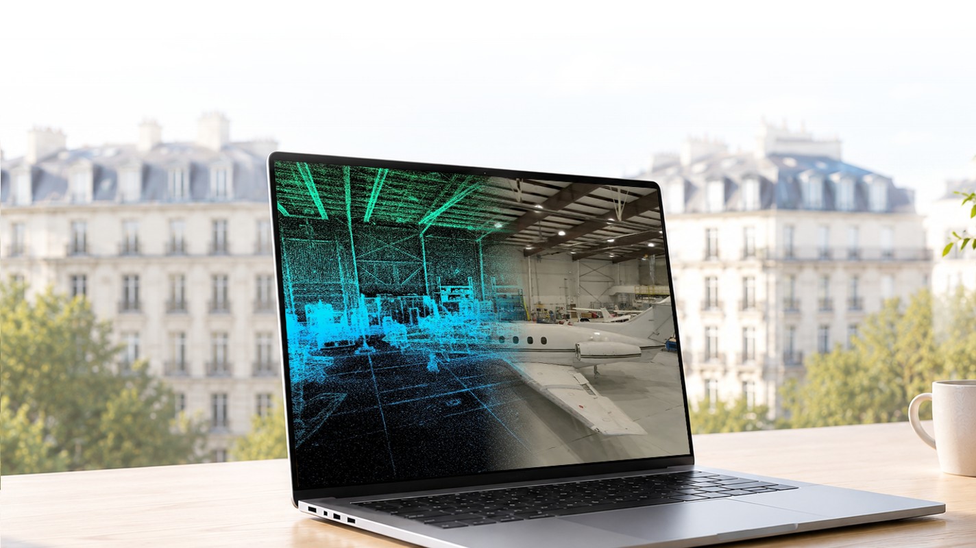
Unified large-scale 3D reconstruction
Unified, at large scale. Point cloud, mesh, and 3DGS come out of a single automated pass, and all three are measurable.
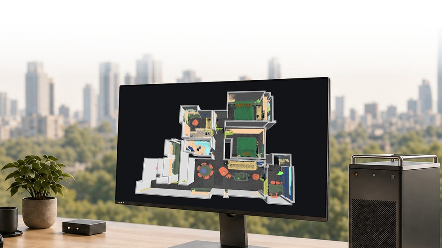
Queryable, updatable, and reasoned upon
Semantics, attributes, change detection. The 3D becomes something you can query, update, and reason about as the site changes.
World models — from simulation to reality
World models built from real places. People, AI, and embodied robots explore, edit, and create inside them, in simulation and then on site.
From capture to creation, we turn technology rooted in the real world into 3D that people and AI can both see, measure, and build on.
Capture the places around you, then wander, play, and share them in 3D
From robotics and embodied AI to construction, media, and heritage, spatial intelligence is taking root across industries in 42+ workflows.
Technology partners, research institutions, and distributors across the globe are bringing spatial intelligence into real-world workflows.

















Trusted by 8,000+ customers in 80+ countries — including NVIDIA, Disney, and Manchester City FC. Our open LCC data format is embraced by dozens of global technology partners, driving the global adoption of spatial intelligence
Case studies, product insights, events, webinars, and industry news
Lixel L2 Pro launches, evolving spatial perception
A new generation of handheld spatial scanners makes real-world data capture lighter, faster, and more precise.
XGRIDS partners with NVIDIA to advance the spatial intelligence ecosystem
Connecting spatial data with simulation via Isaac Sim to accelerate robotics and digital twins.
Spatial intelligence empowers the digital preservation of heritage architecture
SLAM-Based 3DGS delivers high-fidelity digital twins for permanent preservation of irreplaceable heritage.
XGRIDS spatial intelligence platform draws mainstream media attention
From hardware to world models, XGRIDS spatial intelligence loop becomes a focal point for industry and media.
LCC reconstruction enters film virtual production stages
Bringing real scenes 1:1 into virtual stages, providing editable, schedulable 3D assets for film production.
XGRIDS shines at international expo, sparking buzz on spatial intelligence
Live demos of the full scan-to-reconstruction pipeline drew developers and partners worldwide.