
Headline
XGRIDS at NVIDIA GTC 2026: Bridging Real-World Spaces and Physical AI Through Real2Sim
Industry trends, technology insights, and the future of spatial intelligence
Cases, updates and technical forums — see what happened recently.
XGRIDS PortalCam Becomes Only Product to Win Four Categories at 2026 NAB Show Product of the Year Awards
Lixel L3 achieves ≤5 mm accuracy at 1σ across 1,524 point pairs. See the five-step validation workflow and Leica TS60 benchmark test data.
An open format that more tools, more industries, and more developers can build on.
XGRIDS, a spatial intelligence company and one of the first companies to deploy 3D Gaussian Splatting at production scale across multiple industries, today announced its membership in the Khronos® Group.
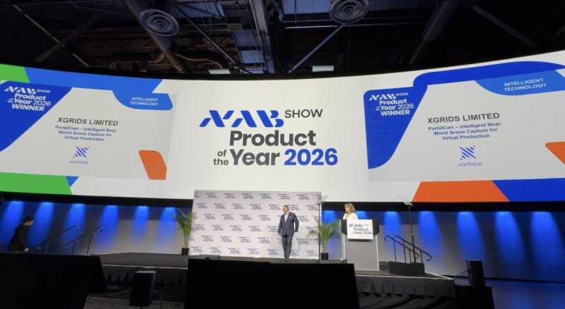
XGRIDS PortalCam Becomes Only Product to Win Four Categories at 2026 NAB Show Product of the Year Awards

An open format that more tools, more industries, and more developers can build on.
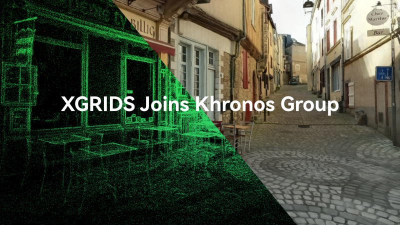
XGRIDS, a spatial intelligence company and one of the first companies to deploy 3D Gaussian Splatting at production scale across multiple industries, today announced its membership in the Khronos® Group.

XGRIDS wins the IFA 2026 Netzwelt Innovation Award with PortalCam & LCC Scan, turning physical spaces into production-ready digital twins in real time.
.PNG?x-oss-process=image/resize,w_800/quality,Q_50)
XGRIDS advances AI spatial understanding at ACM MM 2026 with SpatialGrammar, coupling language models with compiler-driven physical constraint validation.

Turn your iPhone into a 3D spatial camera with LCC Scan. Run 3D Gaussian reconstruction directly on-device in under 2 minutes without cloud queues or data leaks.

The world’s first editor built for world models — making digital worlds truly usable.
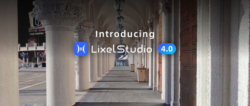
LixelStudio 4.0 is a systematic upgrade to the spatial data processing algorithms behind that quality, so every dataset comes out engineering-grade

Lixel CyberColor 2 (LCC 2) is our next-generation 3DGS format — the all-rounder 3DGS format. Smaller files, high-fidelity rendering, reliable mobile and VR performance, full-scenario coverage, and broad ecosystem compatibility, all in one format. 3DGS content that works cross-platform and at scale, without compromise.

This update focuses on Real Estate showcasing and spatial presentation workflows, enabling one capture to generate multiple ready-to-use outputs for marketing, review, and delivery.
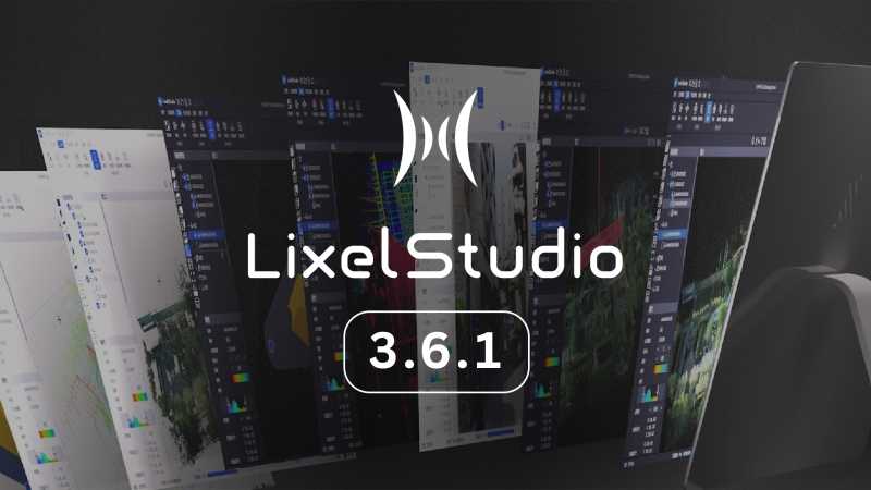
LixelStudio v3.6 is purpose-built for engineering-grade reconstruction in challenging environments such as urban canyons, with systematic upgrades to Mesh quality and PointCloud enhancement capabilities.
Bringing clearer point-cloud data, more consistent mesh reconstruction, faster drafting, improved multi-level visualization, and smoother workflow interoperability across your 3D pipeline.

Reality capture let Netflix's Monster scout 35 Italian locations in four days with PortalCam, then plan shots remotely through virtual scouting of 3DGS scans.
.png?x-oss-process=image/resize,w_800/quality,Q_50)
A one-hour Lixel K1 scan of six Culver City blocks gave a generative film pipeline the fixed geometry it needed to keep six locations consistent.

Handheld 3DGS by PortalCam helped CyArk document three landmark interiors for America 250, solving mirror reflections and low-light field challenges.

Handheld 3D capture brings real museum spaces to LED volumes, replacing green screens and photogrammetry for fast, cinematic virtual camera moves.

Cut property capture costs by up to 90% using 3D Gaussian splatting to deliver photorealistic browser-based spatial tours for real estate and hospitality.
.jpg?x-oss-process=image/resize,w_800/quality,Q_50)
During building renovation and expansion, rapid Scan-to-BIM delivery is critical for coordination among designers, contractors, and owners.
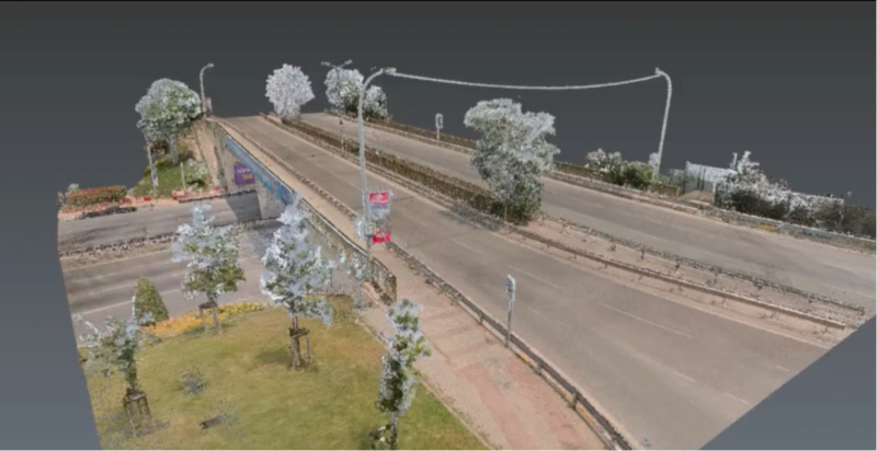
110m × 27m Bridge: SLAM vs. Terrestrial Laser Scanner
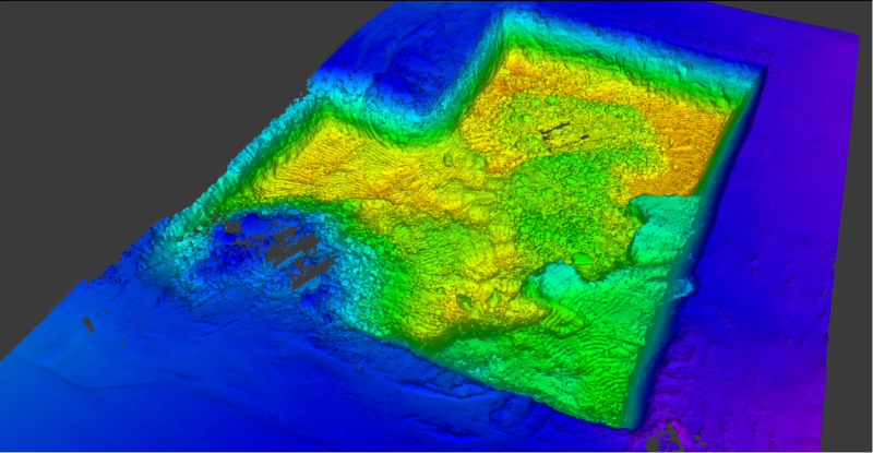
Earthwork volume calculations have traditionally required multiple crew members spending hours taking point-by-point measurements across construction sites.

Josette Seitz on 3D storytelling with XGRIDS
.jpg?x-oss-process=image/resize,w_800/quality,Q_50)
Lixel K1 + RTK Case Study: 9-Minute Site Survey with Sub-Inch Accuracy
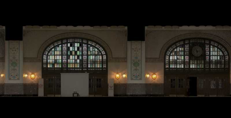
Atlıhan Surveying Engineering reduced project delivery time from days to hours by integrating XGRIDS Lixel L2 Pro handheld LiDAR with terrestrial scanners, enabling 1,000 m² documentation in just 7 minutes while maintaining 2-3cm accuracy.
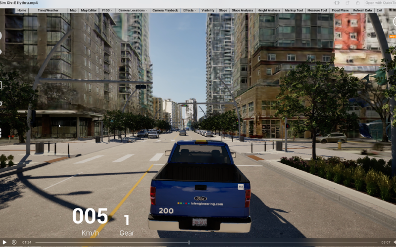
ISL Engineering reduced urban visualization time from weeks to hours using XGRIDS L2 Pro scanner and 3D Gaussian Splatting technology. The solution captured 500m of Edmonton's Jasper Avenue with centimeter-level accuracy in 40 minutes, enabled real-time stakeholder interaction, and eliminated approximately 80 hours of modeling work while improving public engagement.
XGRIDS at NVIDIA GTC 2026: Bridging Real-World Spaces and Physical AI Through Real2Sim
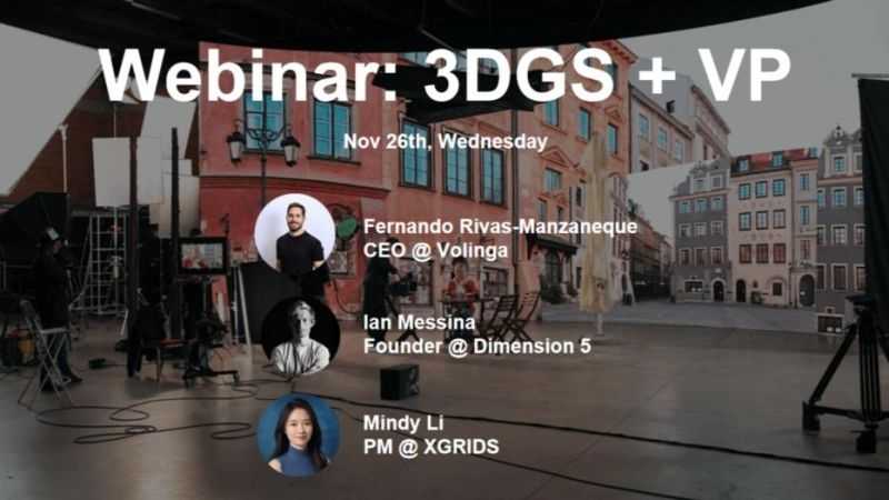
How 3D Gaussian Splatting is closing the gap between spatial capture and in-engine virtual production
Building Accurate, Photoreal 3D Environments for Real-Time Applications

On October 17th, XGRIDS hosted a session in its 3DGS Webinar Series titled "3DGS Documentation for Heritage Sites and Historic Buildings." Featuring Jasper van der Klooster (InformARbv) and Mindy Li (XGRIDS), the webinar explored how point clouds and 3D Gaussian Splatting (3DGS) are redefining the way we document, visualize, and preserve cultural heritage through photorealistic, explorable digital twins.

In this webinar, we brought together creators from film, virtual production, and interactive design to explore how 3D Gaussian Splatting (3DGS)—a cutting-edge rendering technique—is being applied across different creative pipelines.
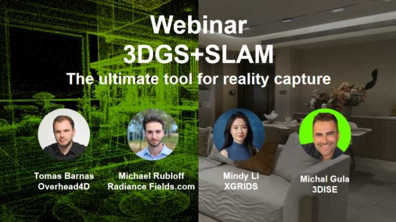
This session offered valuable insights into the rapidly evolving field of 3D technology, focusing on the groundbreaking integration of Gaussian splatt

In the recent online meetup hosted by the world's largest 3DGS community, we provided an in-depth overview of XGRIDS' solution and its applications

Exploring the Future of LiDAR with AI: Key Insights from the Webinar with Ted Strazimiri
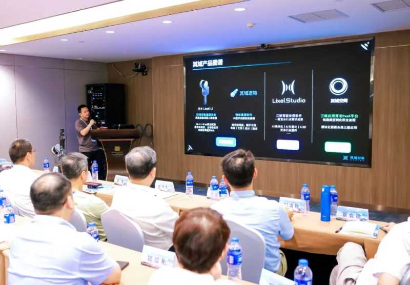
XGRIDS August Highlights
.jpg?x-oss-process=image/resize,w_800/quality,Q_50)
Supernova Challenge semi-finals and the Expand North Star summit in Dubai

Lixel L3 achieves ≤5 mm accuracy at 1σ across 1,524 point pairs. See the five-step validation workflow and Leica TS60 benchmark test data.
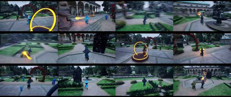
A garden scan became a playable Unreal Engine game in under two hours, with 3D Gaussian splatting for the level and an AI agent for the game logic.
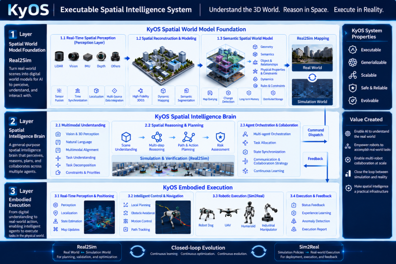
Scaling embodied AI requires KyOS, a closed-loop architecture coordinating perception, task planning, and reflex control across different timescales.

Turn static 3DGS captures into dynamic lighting variations using AI relighting tools to test sunsets, night looks, and mood changes in minutes.
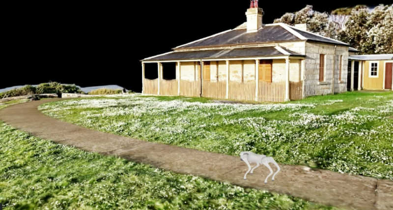
From Real-World Capture to Interactive Simulation
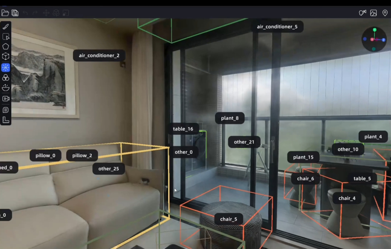
Why Reality-Captured 3D Gaussian Splatting Is the Foundation of Physical AI

he combination of these published metrics, an architecture that constrains drift through Multi-SLAM fusion, and a verification layer that produces auditable records is what defines engineering-grade in practice.
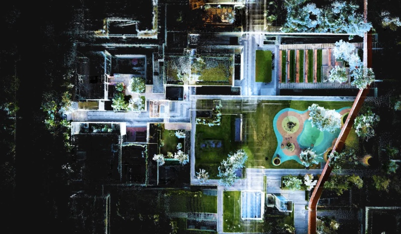
What is Multi-SLAM Technology? The limitations of single sensor SLAM technology and advantages and effects of multi-SLAM.
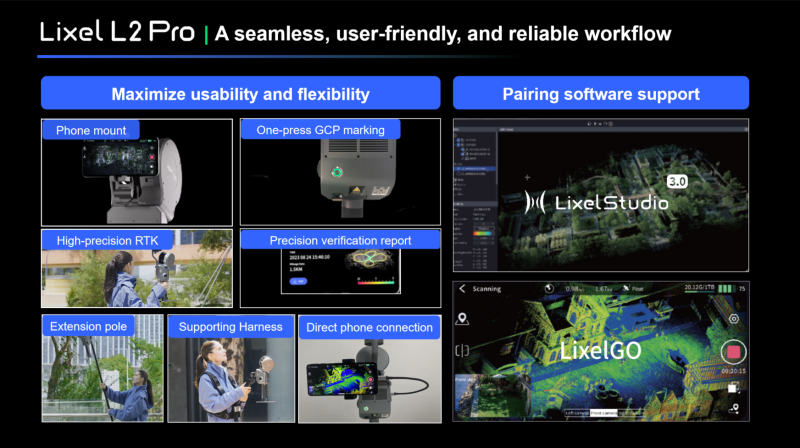
Partner product review
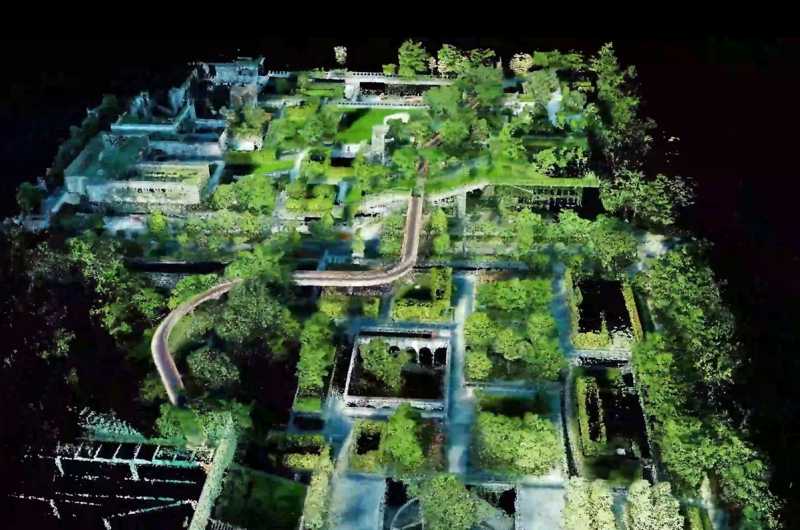
SLAM refers to Simultaneous Localization and Mapping, or concurrent mapping and localization.