Tech Insights
True 5 mm Accuracy, Put to the Test: Inside the Lixel L3 Accuracy Validation
Lixel L3 achieves ≤5 mm accuracy at 1σ across 1,524 point pairs. See the five-step validation workflow and Leica TS60 benchmark test data.
SLAM refers to Simultaneous Localization and Mapping, or concurrent mapping and localization.
SLAM refers to Simultaneous Localization and Mapping, or concurrent mapping and localization. In recent years, due to the development of robotics, drones, autonomous driving, AI, VR and AR technologies, SLAM technology has gradually become well-known because it is the core and difficulty of these fields.
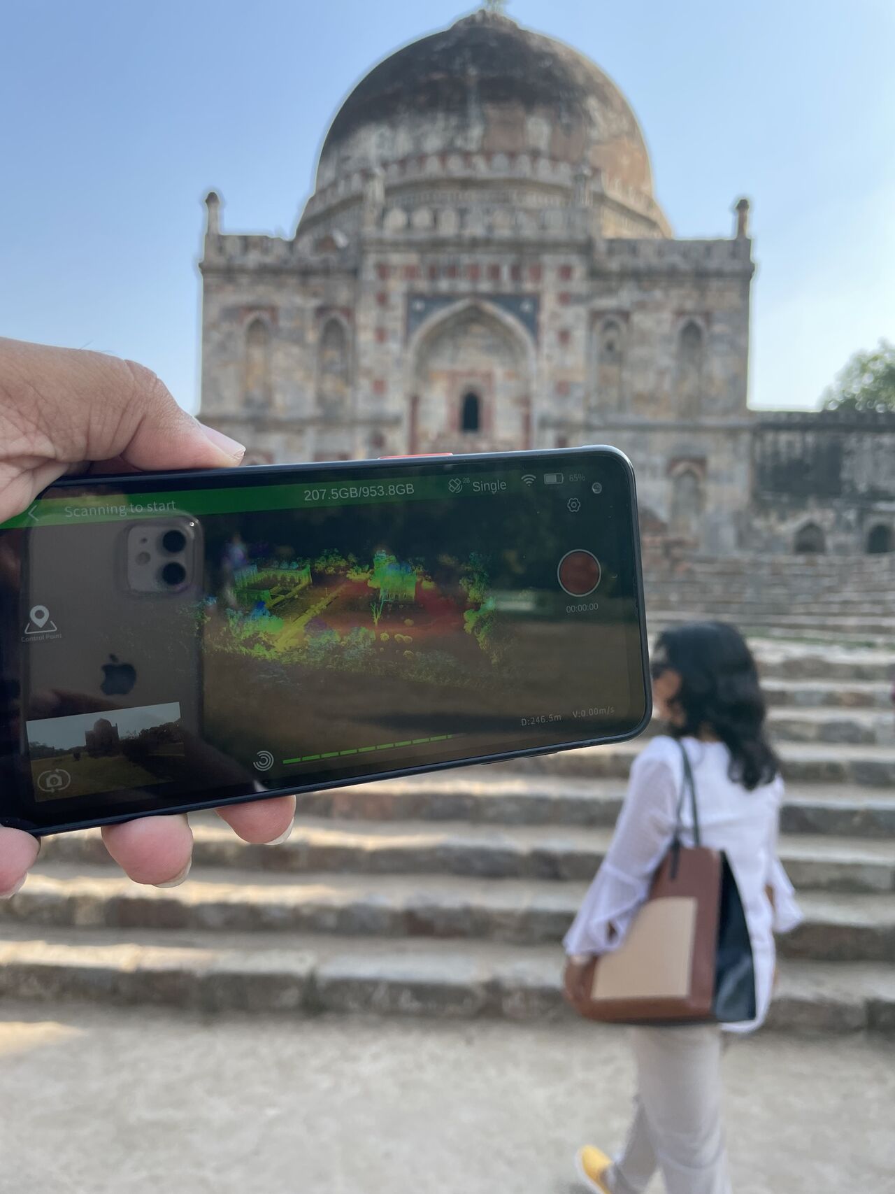
Nowadays, SLAM technology is widely used in fields such as smart cities, smart parks, emergency security, surveying and mapping, cultural tourism and museums. For example, XGRIDS Lixel L1/L2 handheld 3D scanner is applied in projects such as urban village old city renovation.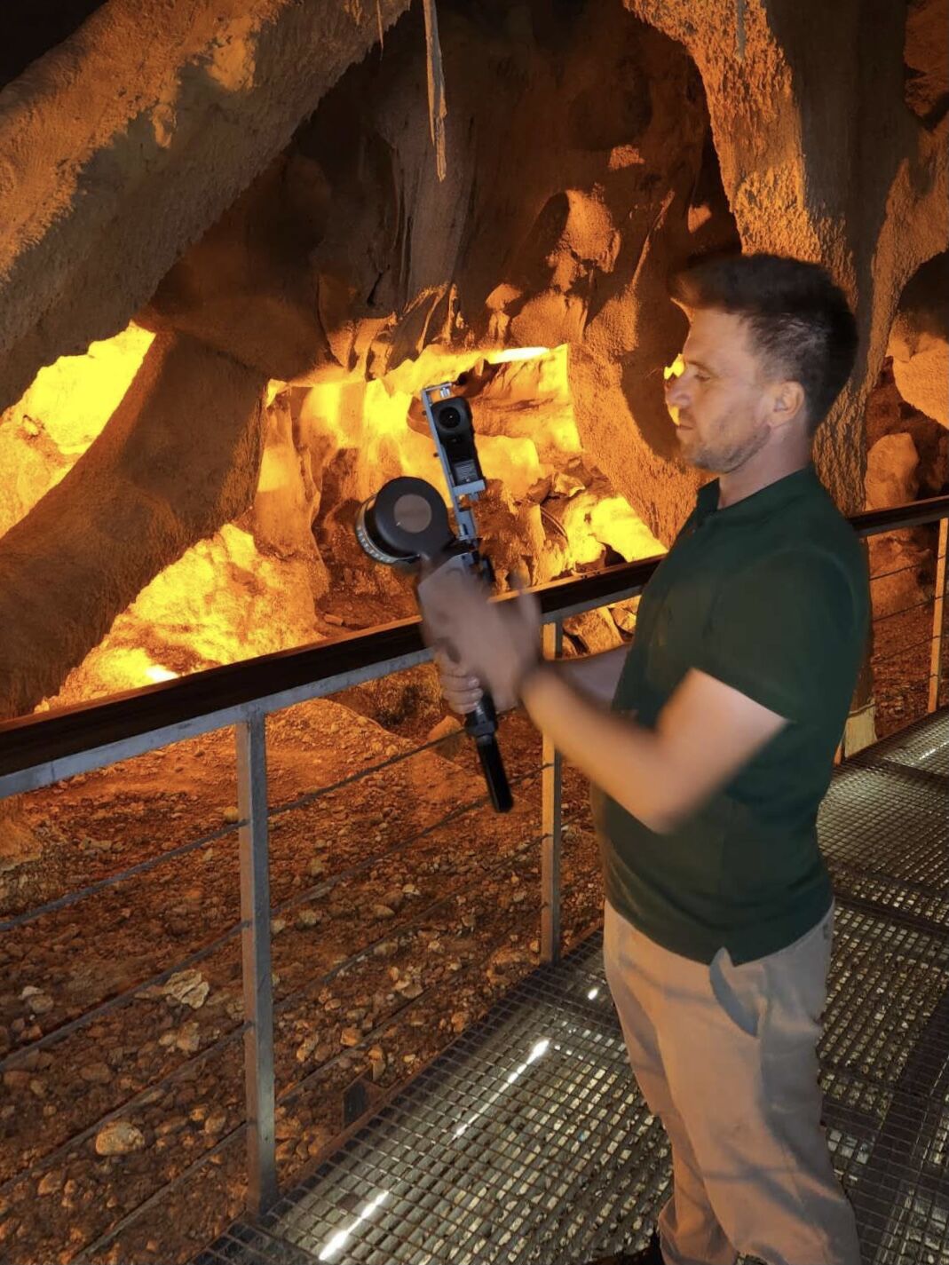
SLAM was first proposed by Smith, Self, and Cheeseman in 1988. Here is an example to help understand this technology. When you come to an unfamiliar environment, in order to quickly familiarize yourself with the environment and achieve your goals (such as finding a restaurant or hotel), you should do the following:
Observe surrounding landmarks such as buildings, trees, flower beds, etc. with your eyes and remember their features (feature extraction).
In one's own mind, based on the information obtained from both eyes, reconstruct the feature landmarks in a 3D map (3D reconstruction).
When walking, constantly acquire new feature landmarks and correct the map model in your mind (bundle adjustment or EKF).
Based on the characteristic landmarks obtained from walking in the previous period, determine your own position (trajectory).
When unintentionally walking a long way, match it with past landmarks in your mind to see if you have returned to the original path (loop-closure detection). In reality, this step is optional.
The above five steps are performed simultaneously, so it is simultaneous localization and mapping, that is, SLAM.
SLAM is a comprehensive result of technology, consisting of many steps, including landmark extraction, data correlation, state estimation, state update, and landmark update, etc. Each part can be implemented by different algorithms. SLAM can be used for two-dimensional space motion or three-dimensional space motion, such as the popular metaverse field, which is a three-dimensional space usage example of SLAM due to the need for human-machine interaction and virtual-real interaction.
At present, the means to achieve SLAM are mainly divided into two categories, lidar and vision.
Lidar can scan objects and structures in the environment. Due to its high accuracy, high output efficiency, and minimal computational process, it is widely used. Especially in areas with complex textures, small spaces, and insufficient light, Lidar plays a crucial role.
The object information collected by LiDAR presents a series of scattered points with accurate angle and distance information, which are called point clouds. Usually, the laser SLAM system calculates the distance and attitude changes of the relative motion of the LiDAR by matching and comparing two point clouds at different times, and completes the positioning. The LiDAR ranging is relatively accurate, the error model is simple, and it runs stably in environments other than direct strong light. The processing of point clouds is also relatively easy. At the same time, the point cloud information itself contains direct geometric relationships, and the spatial structure and object shape become intuitive. The theoretical research of LiDAR SLAM is also relatively mature, and the landing products are more abundant.
Among them, handheld LiDAR and handheld SLAM devices have better comprehensive performance, such as the innovative XGRIDS Lixel series. This handheld SLAM device integrates LiDAR and visual cameras, and incorporates self-developed high-precision 3D real-time reconstruction algorithms, distributed high-performance computing, EdgeComputing, Deep learning technology, multi-source data fusion, multi-sensor fusion SLAM and other technologies. It is a new generation of handheld 3D acquisition devices. The device has three characteristics: high precision, high integration, and real-time processing to generate color point cloud models. It deeply integrates technologies such as multi-source data fusion and AI intelligent analysis to present panoramic 3D models in real-time, greatly improving the accuracy and efficiency of model generation.
Visual SLAM obtains massive and redundant texture information from the environment, possessing strong scene recognition capabilities. Early visual SLAM was based on filtering theory, and its nonlinear error model and huge computational complexity became obstacles to its practical implementation. In recent years, with the advancement of sparse nonlinear optimization theory (Bundle Adjustment), camera technology, and computational performance, real-time running visual SLAM is no longer a dream.
The advantage of visual SLAM is the rich texture information it utilizes. For example, two billboards with the same size but different content cannot be distinguished by the point cloud-based laser SLAM algorithm, while vision can easily distinguish them. This brings unparalleled advantages in relocation and scene classification. At the same time, visual information can be easily used to track and predict dynamic targets in the scene, such as pedestrians, vehicles, etc., which is crucial for applications in complex dynamic scenes.
.PNG)
Laser SLAM and visual SLAM each have their own strengths, and their integration will produce greater benefits. For example, when obtaining ground-end real-time 3D data, the entire industry faces problems such as high acquisition costs, low efficiency, and low data integrity. Especially in indoor, underground, staircase, roadway, and densely populated areas, they cannot be fully collected, becoming the "missing scale" in digital twin scenes. At the turning point of industry transformation, the market needs a handheld 3D real-time SLAM device that is highly integrated, lightweight, and efficient in data acquisition and availability. The XGRIDS Lixel L1 handheld 3D real-time reconstruction device focuses on solving the problem of 3D Data Acquisition and reconstruction in indoor, underground, and densely populated areas, providing the industry with high-precision, high-fidelity, and real-time usable 3D scene models.
Lixel L3 achieves ≤5 mm accuracy at 1σ across 1,524 point pairs. See the five-step validation workflow and Leica TS60 benchmark test data.
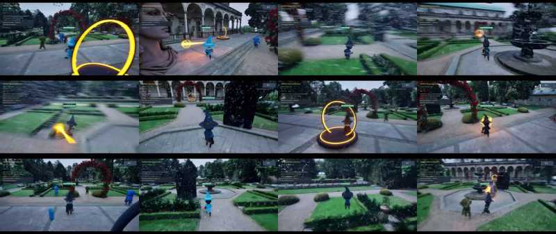
A garden scan became a playable Unreal Engine game in under two hours, with 3D Gaussian splatting for the level and an AI agent for the game logic.
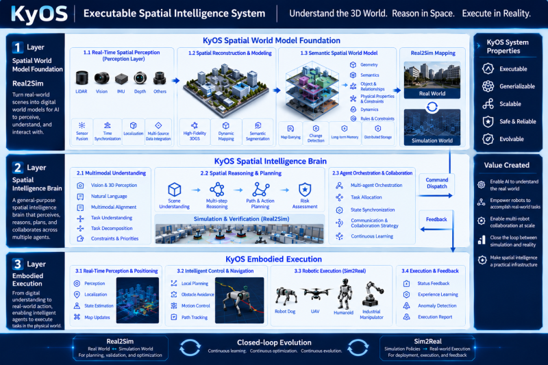
Scaling embodied AI requires KyOS, a closed-loop architecture coordinating perception, task planning, and reflex control across different timescales.

Turn static 3DGS captures into dynamic lighting variations using AI relighting tools to test sunsets, night looks, and mood changes in minutes.