
Film & VFX3DGS
Virtual Pre-Production for Netflix's Monster: The Lizzie Borden Story.
Reality capture let Netflix's Monster scout 35 Italian locations in four days with PortalCam, then plan shots remotely through virtual scouting of 3DGS scans.
Reality capture case studies from teams scanning bridges, mines, heritage sites, film sets and homes, with field times, accuracy and as built documentation.
Reality capture let Netflix's Monster scout 35 Italian locations in four days with PortalCam, then plan shots remotely through virtual scouting of 3DGS scans.
.png?x-oss-process=image/resize,w_800/quality,Q_50)
A one-hour Lixel K1 scan of six Culver City blocks gave a generative film pipeline the fixed geometry it needed to keep six locations consistent.

Handheld 3DGS by PortalCam helped CyArk document three landmark interiors for America 250, solving mirror reflections and low-light field challenges.

Handheld 3D capture brings real museum spaces to LED volumes, replacing green screens and photogrammetry for fast, cinematic virtual camera moves.
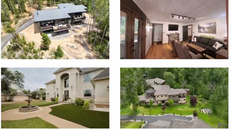
Cut property capture costs by up to 90% using 3D Gaussian splatting to deliver photorealistic browser-based spatial tours for real estate and hospitality.
.jpg?x-oss-process=image/resize,w_800/quality,Q_50)
During building renovation and expansion, rapid Scan-to-BIM delivery is critical for coordination among designers, contractors, and owners.
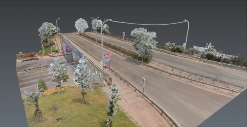
110m × 27m Bridge: SLAM vs. Terrestrial Laser Scanner
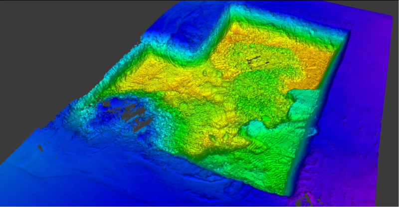
Earthwork volume calculations have traditionally required multiple crew members spending hours taking point-by-point measurements across construction sites.
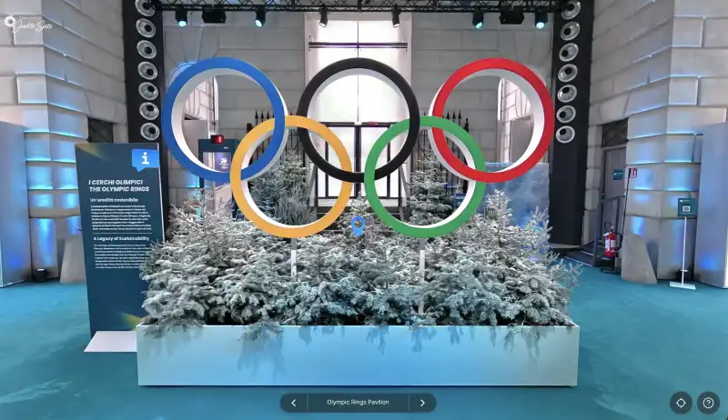
Josette Seitz on 3D storytelling with XGRIDS
.jpg?x-oss-process=image/resize,w_800/quality,Q_50)
Lixel K1 + RTK Case Study: 9-Minute Site Survey with Sub-Inch Accuracy
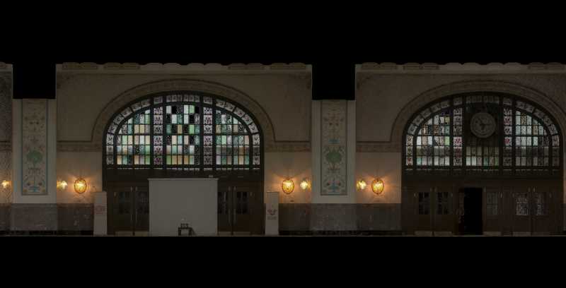
Atlıhan Surveying Engineering reduced project delivery time from days to hours by integrating XGRIDS Lixel L2 Pro handheld LiDAR with terrestrial scanners, enabling 1,000 m² documentation in just 7 minutes while maintaining 2-3cm accuracy.
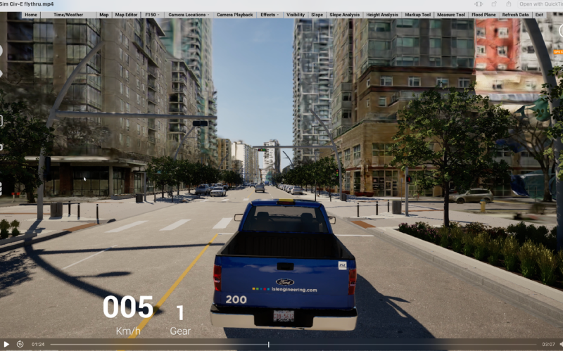
ISL Engineering reduced urban visualization time from weeks to hours using XGRIDS L2 Pro scanner and 3D Gaussian Splatting technology. The solution captured 500m of Edmonton's Jasper Avenue with centimeter-level accuracy in 40 minutes, enabled real-time stakeholder interaction, and eliminated approximately 80 hours of modeling work while improving public engagement.