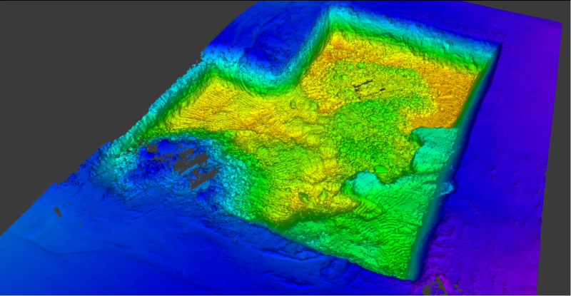
Earthwork volume calculations have traditionally required multiple crew members spending hours taking point-by-point measurements across construction sites.

Earthwork volume calculations have traditionally required multiple crew members spending hours taking point-by-point measurements across construction sites.
.jpg?x-oss-process=image/resize,w_800/quality,Q_50)
Lixel K1 + RTK Case Study: 9-Minute Site Survey with Sub-Inch Accuracy
A single round-trip by boat, delivering 3D data ready for engineering workflows.
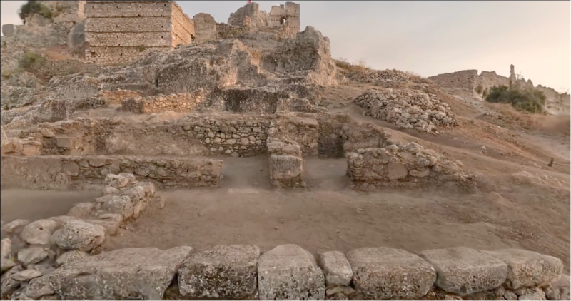
Atlihan Surveying Engineering transformed a 1,000 m² excavation site in Turkey into a fully explorable 3D digital archive in under 2 hours.

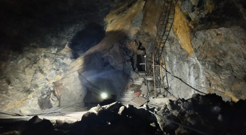
Create accurate digital twins of challenging underground mining environments, including 100m vertical shafts and subterranean rivers

XGRIDS’ partner deployed the Lixel L2 Pro handheld 3D scanner, enabling high-precision mapping to support project validation and acceptance.

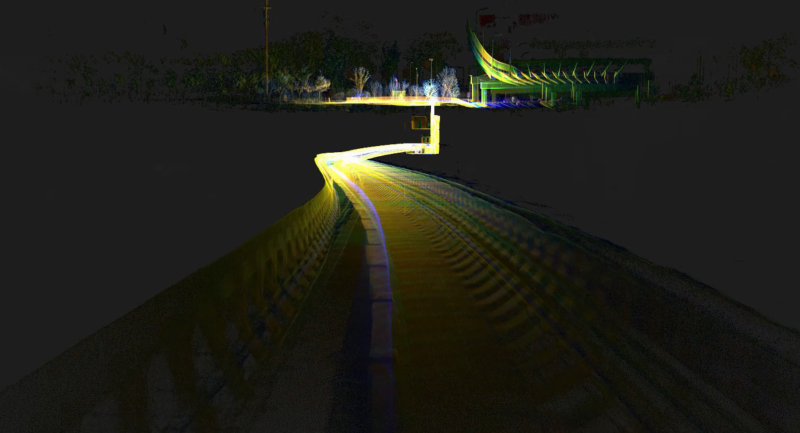
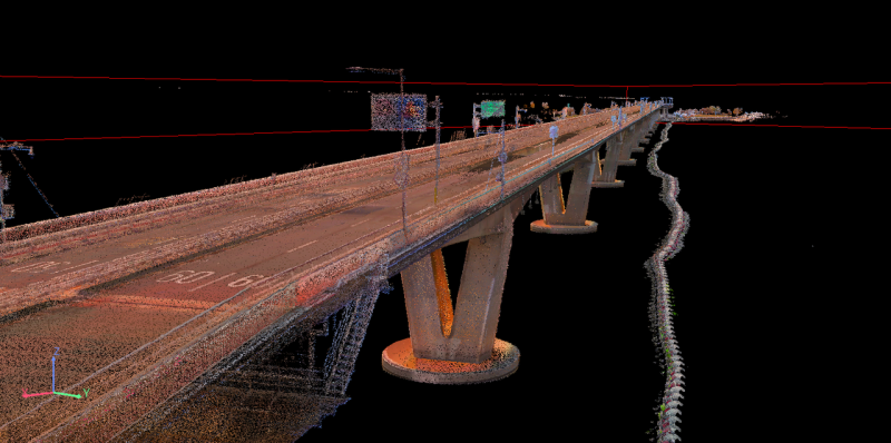
Mobile scanning system changes infrastructure digital construction.

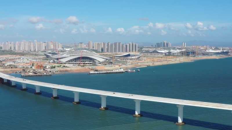
By enabling precise navigation element measurements, this solution significantly improved operational surveying efficiency and safety in maritime chan

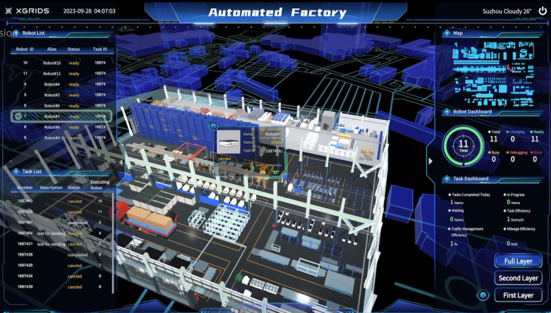
Unlocking the potential of unmanned factories, XGRIDS Digital Twin Solution deploys AMR technology and real-time 3D modeling for efficient logistics

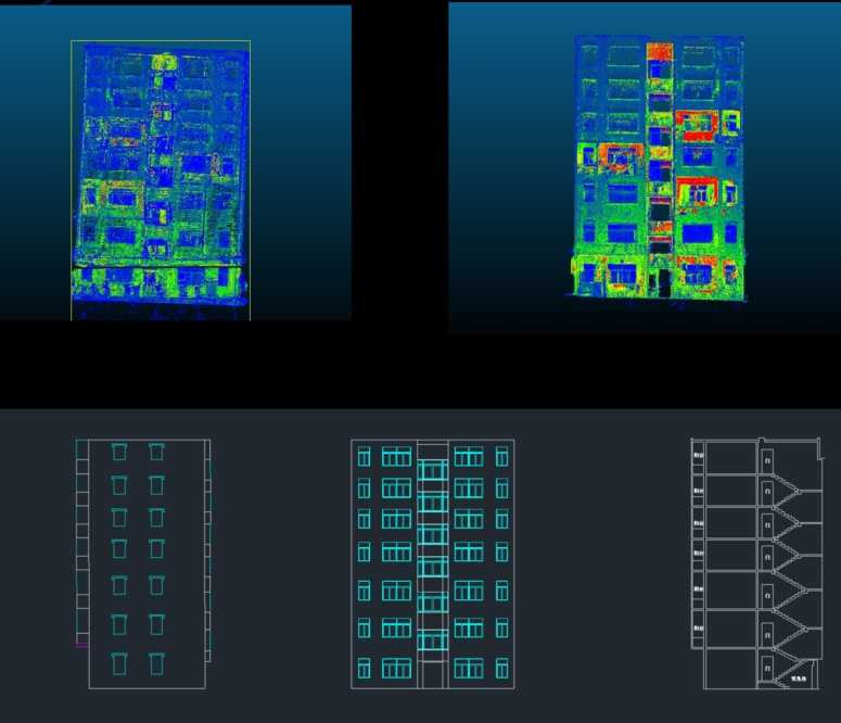
Lixel L1's contactless scanning of building facades provides a rapid, precise, and convenient measurement operation mode, offering an innovative solut
.jpeg?x-oss-process=image/resize,w_800/quality,Q_50)
Lixel L1, with its convenient data collection, efficient processing, and accurate precision, has found extensive applications in various scenarios.

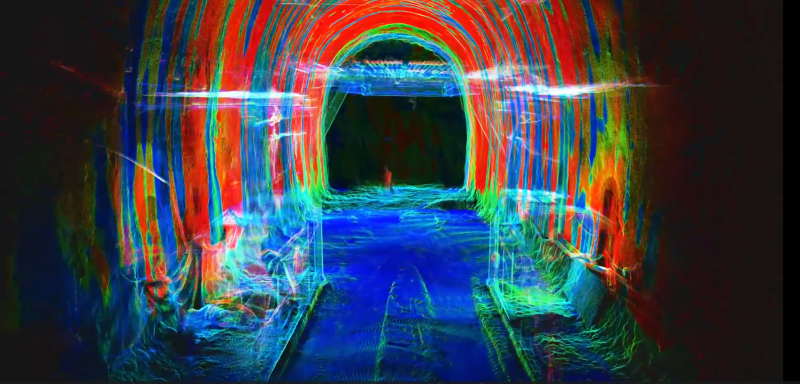
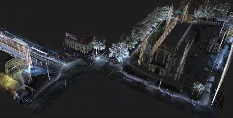
Data visualization as we explore Flinders Street Station, fondly known as the "Grand Old Lady" of Melbourne