
Case Studies
Virtual Pre-Production for Netflix's Monster: The Lizzie Borden Story.
Reality capture let Netflix's Monster scout 35 Italian locations in four days with PortalCam, then plan shots remotely through virtual scouting of 3DGS scans.
Mobile scanning system changes infrastructure digital construction.
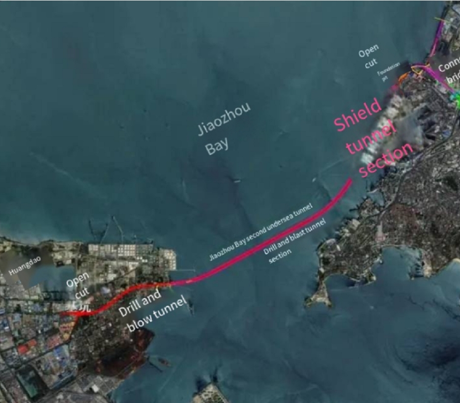
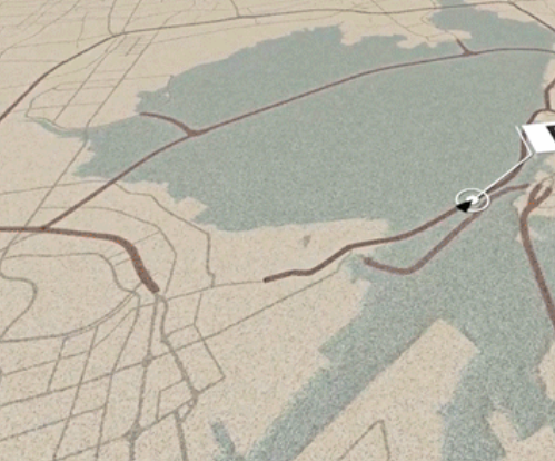
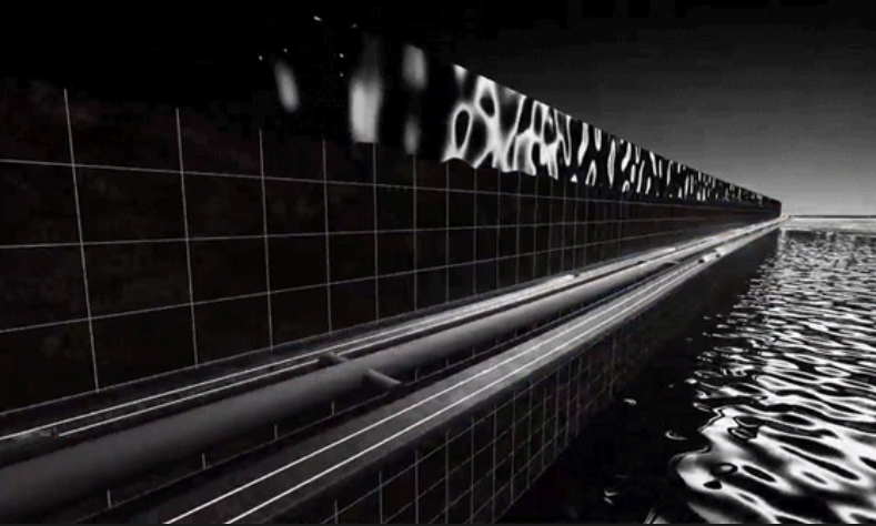
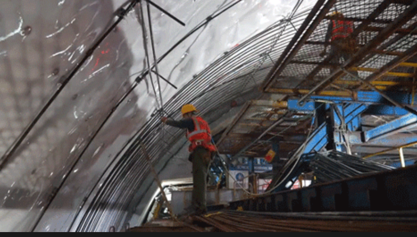
The Jiaozhou Bay Second Undersea Highway Tunnel is set to become the world’s longest underwater highway tunnel, stretching 17.48 kilometers, including 9.95 kilometers of seabed excavation. With such a massive scale and extreme geological complexity, achieving precise excavation and real-time monitoring is critical to ensure construction accuracy, efficiency, and safety.
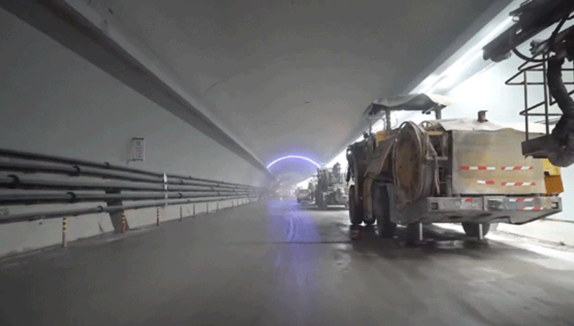
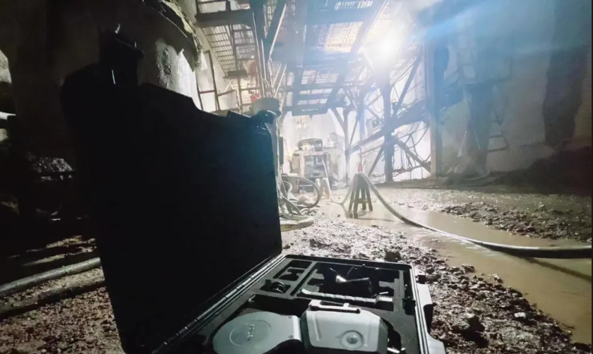
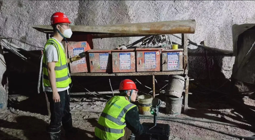
To meet these challenges, our partner in collaboration with Southwest Jiaotong University and Southwest China Railway Research Institute, deployed XGRIDS' Lixel L2 handheld scanner to rapidly and accurately scan the tunnel and get point cloud data. The results allowed for on-site over-excavation measurements, reducing errors and improving construction efficiency.
Client: Baisui, Southwest Jiaotong University & Southwest China Railway Research Institute
Industry: Tunnel Engineering & Infrastructure Development
Challenges:
•Extreme excavation depth: The tunnel reaches 115.4 meters below sea level, exposing structures to intense water pressure (1.10 trillion Pa, equivalent to 40 cars per square meter).
•Complex geological conditions: The working section consists of hard granite, requiring drilling and blasting techniques, making accurate excavation monitoring essential.
•Traditional surveying limitations: Conventional total stations, section meters, and stationary scanners require frequent scanning station changes, making the workflow time-consuming and impractical for large-scale tunnel projects.
Lixel L2 Pro for High-Precision, Real-Time 3D Scanning
Technology Used:
✔ Lixel L2 Pro Handheld Scanner – Lightweight, mobile LiDAR scanning
✔ Real-Time 3D Modeling – On-device processing for instant visualization
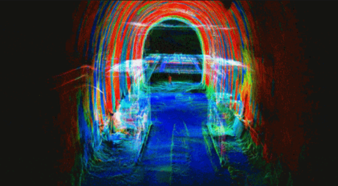
✔ 2CM Accuracy – High-precision point cloud capture without post-processing
Implementation Process:
1️⃣ Rapid 3D Data Capture: The Lixel L2 handheld scanner was deployed on-site, enabling fast and precise data collection across multiple excavation points.
2️⃣ Real-Time Over-Excavation Monitoring: Engineers could immediately assess excavation accuracy on-site, identifying areas requiring correction.
3️⃣ Seamless Integration: The generated point clouds were used for vector drawings and section analysis, allowing project teams to plan the next excavation steps efficiently.
1️⃣ Enhanced Efficiency & Simplicity
📌 Mobile scanning allows engineers to capture and generate 1-2cm precision 3D models effortlessly.
📌 No station setup required—faster and more flexible compared to traditional static scanners.
2️⃣ Faster Data Output & Decision-Making
📌 Real-time point cloud generation eliminates the need for post-processing.
📌 Immediate data visualization enables quick decision-making for excavation planning.
3️⃣ Reduced Labor & Costs
📌 Single-operator functionality minimizes manpower requirements.
📌 Fewer station relocations reduce project delays and internal costs.
🔹 Record-Breaking Achievement:XGRIDS' Lixel L2 became the deepest handheld LiDAR scanner ever deployed in a tunnel project, reaching 115.4m below sea level.
Lixel L2 Pro: Redefining real-time precision of mobile scanner.
Reality capture let Netflix's Monster scout 35 Italian locations in four days with PortalCam, then plan shots remotely through virtual scouting of 3DGS scans.
.png?x-oss-process=image/resize,w_800/quality,Q_50)
A one-hour Lixel K1 scan of six Culver City blocks gave a generative film pipeline the fixed geometry it needed to keep six locations consistent.

Handheld 3DGS by PortalCam helped CyArk document three landmark interiors for America 250, solving mirror reflections and low-light field challenges.

Handheld 3D capture brings real museum spaces to LED volumes, replacing green screens and photogrammetry for fast, cinematic virtual camera moves.