Facility ManagementAEC3DGS
Urban Design: How ISL Used XGRIDS 3DGS to Transform Stakeholder Engagement
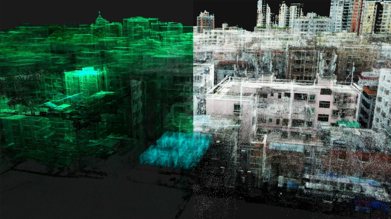
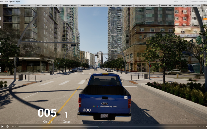
ISL Engineering reduced urban visualization time from weeks to hours using XGRIDS L2 Pro scanner and 3D Gaussian Splatting technology. The solution captured 500m of Edmonton's Jasper Avenue with centimeter-level accuracy in 40 minutes, enabled real-time stakeholder interaction, and eliminated approximately 80 hours of modeling work while improving public engagement.