AECSLAM
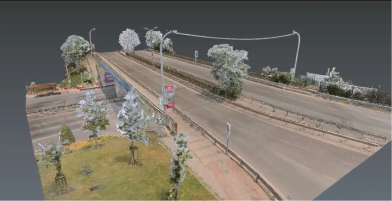
Handheld SLAM vs. TLS for Highway Bridge Surveys, A Comparison Study
110m × 27m Bridge: SLAM vs. Terrestrial Laser Scanner
110m × 27m Bridge: SLAM vs. Terrestrial Laser Scanner
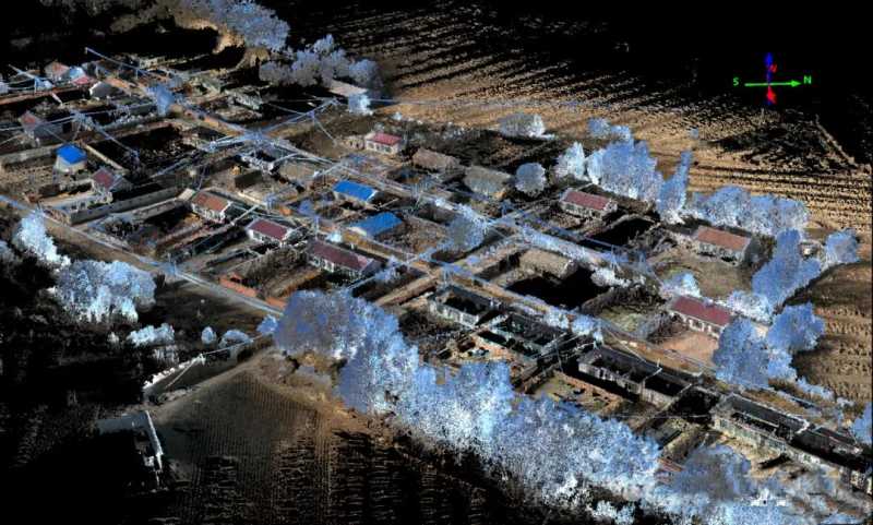
Using the XGRIDS Lixel L2 Pro, a surveying team completed real-time measurement of a 0.2 km² no-fly zone in 15 minutes, achieving true-color point cloud data with 3cm absolute accuracy. The workflow reduced project time by 80% and increased efficiency threefold, demonstrating a viable alternative to drone-based surveying.
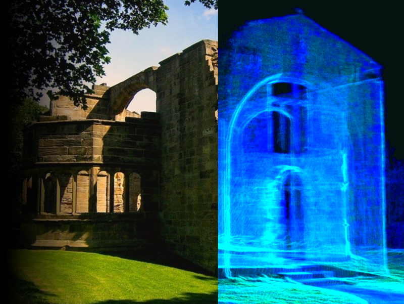
In the "BANDUNG AND SCHOEMAKER" exhibition, 1ndustry - 3D Scan Indonesia leveraged XGRIDS’ 3D SLAM Scanner to not only assist in the exhibition
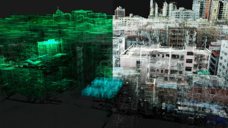
By replacing traditional manual methods, XGRIDS enables faster, more precise floor plan creation, enhancing decision-making in property management.
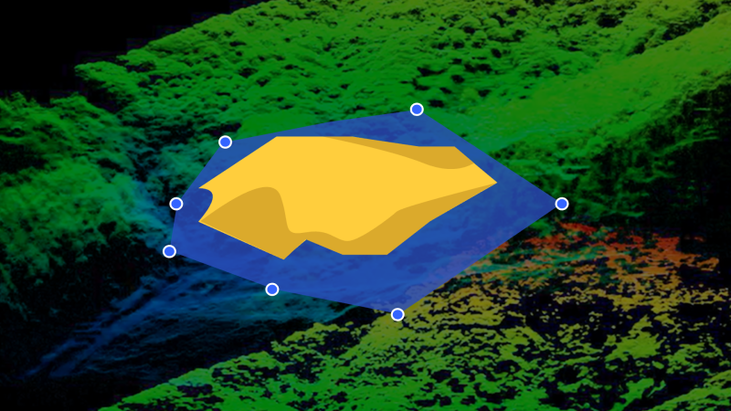
Explore how the Lixel handheld mobile scanning solution revolutionizes heap measurement for lithium mica piles, providing unmatched efficiency, precis