
Case Studies
Virtual Pre-Production for Netflix's Monster: The Lizzie Borden Story.
Reality capture let Netflix's Monster scout 35 Italian locations in four days with PortalCam, then plan shots remotely through virtual scouting of 3DGS scans.
Lixel L1's contactless scanning of building facades provides a rapid, precise, and convenient measurement operation mode, offering an innovative solut
Building facade measurement is a fundamental task supporting urban renewal projects, key architectural preservation, and urban planning and design. In many cases, aging buildings in urban areas lack completion data or have undergone multiple modifications, leading to discrepancies between drawings and current conditions, posing significant challenges to related works.
Traditional facade measurement methods, primarily relying on manual measuring or handheld rangefinders, suffer from low efficiency, significant data errors, safety risks during high-altitude data collection, and difficulties in data storage and processing. In terms of both cost and efficiency, these methods can no longer keep pace with progress in urban renewal and preservation.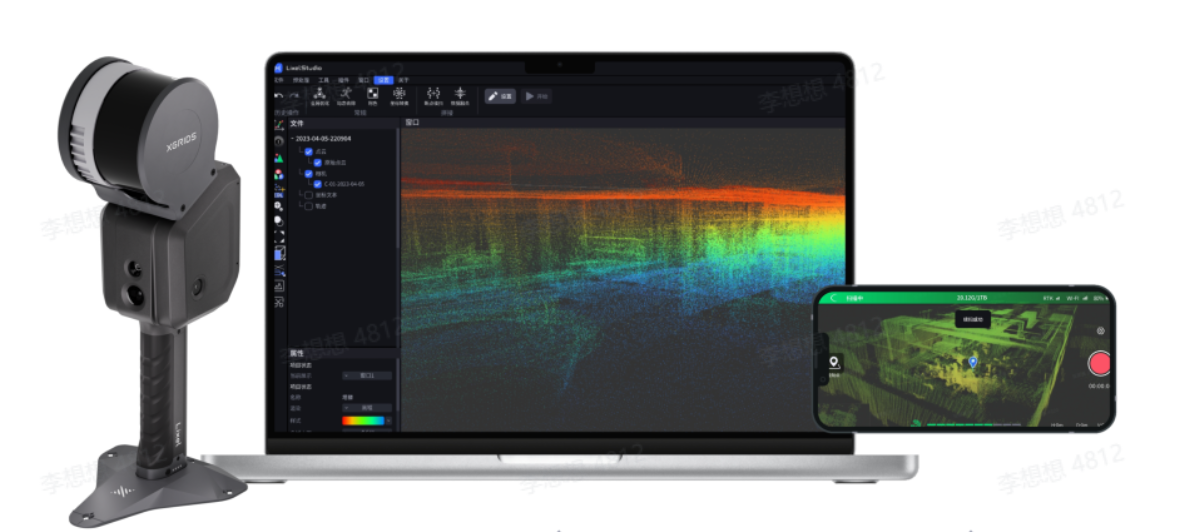
Lixel L1, with its real-time modeling, high precision, and portability, stands out as a solution for quickly obtaining dense point clouds and images of old housing estate and urban villages. It enables more efficient, secure, and cost-effective facade data collection. The real-time modeling feature assists clients in rapidly generating facade survey data, architectural CAD drawings, and other deliverables, particularly demonstrating its advantages in complex surfaces and dense urban areas.

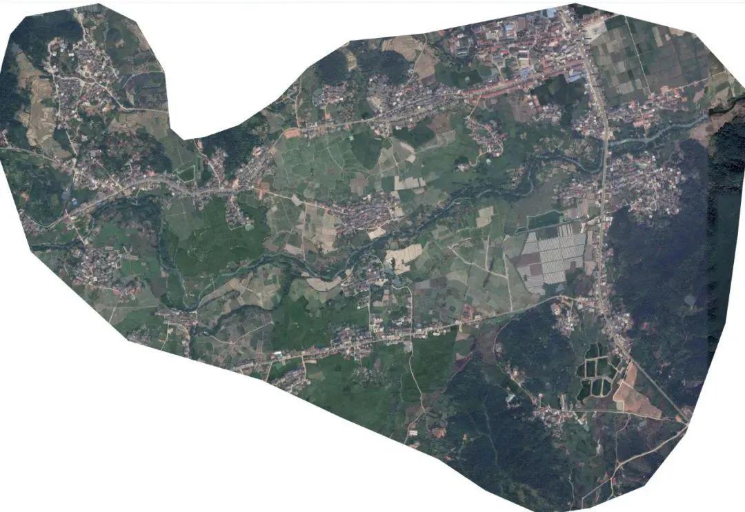
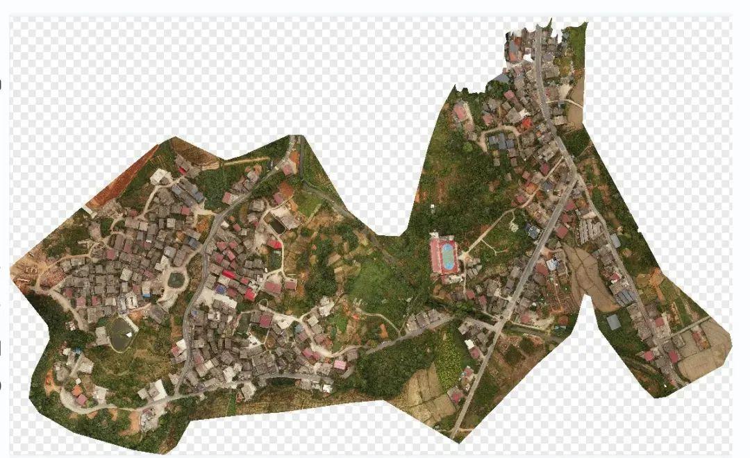
In May 2023, partner company ZYT Navigation Technology Co. LTD. successfully carried out a facade mapping project in an area covering nearly 2 square kilometers, densely populated with 600 buildings.
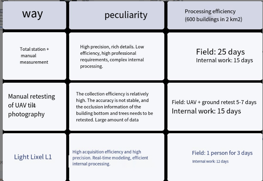
| way | peculiarity | Processing efficiency (600 buildings in 2 km2) |
| Total station + manual measurement | High precision, rich details. Low efficiency, high professional requirements, complex internal processing. | Field: 25 days Internal work: 15 days |
| Manual retesting of UAV tilt photography | The collection efficiency is relatively high. The accuracy is not stable, and the occlusion information of the building bottom and trees needs to be retested. Large amount of data | Field: UAV + ground retest 5-7 days Internal work: 15 days |
| Light Lixel L1 | High acquisition efficiency and high precision. Real-time modeling, efficient internal processing. | Field: 1 person for 3 days Internal work: 12 days |
ZYT made full use of Lixel L1's capabilities to work in special conditions such as densely populated or confined spaces. It seamlessly and efficiently completed the project, demonstrating high quality and meeting project requirements.
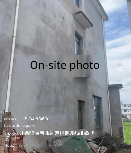
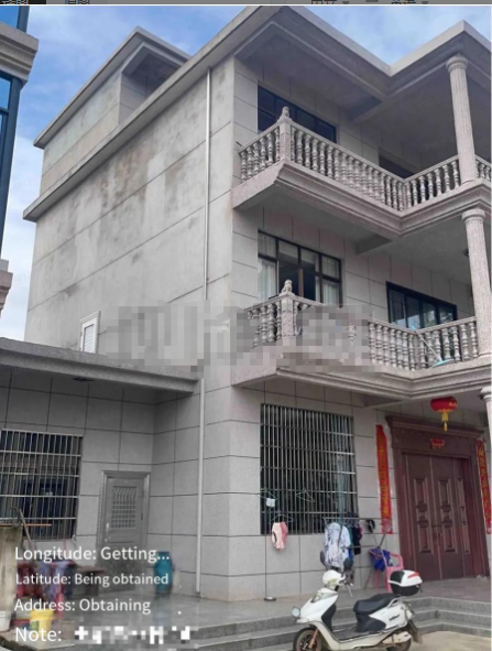
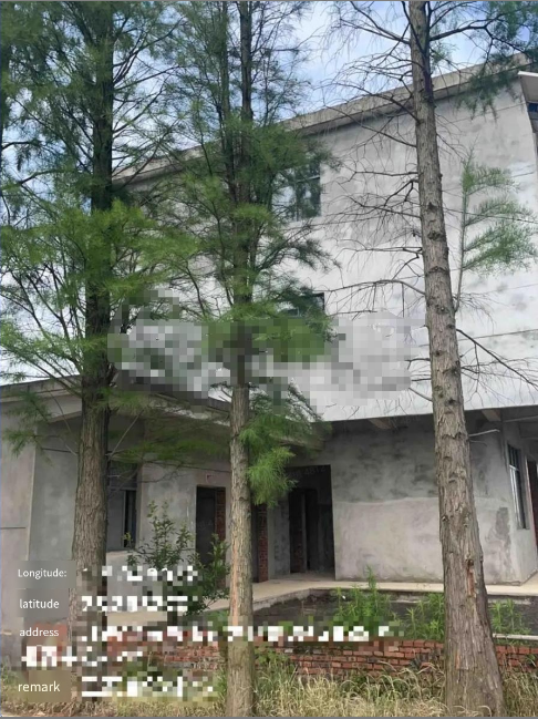
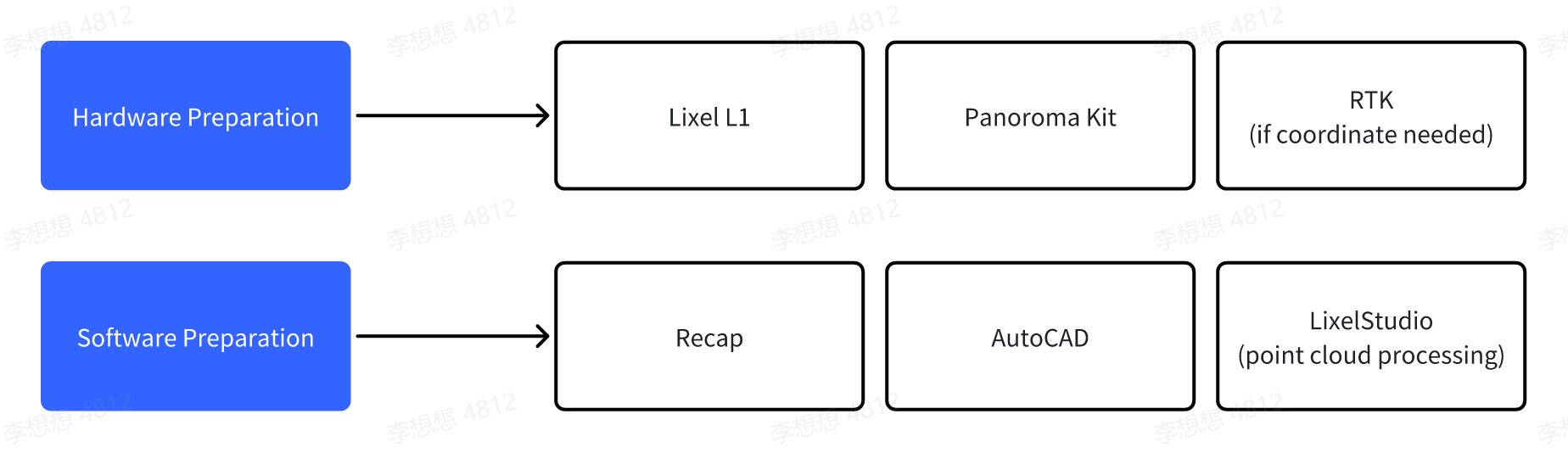
| Hardware Preparation | Lixel L1 | Panoroma Kit | RTK (if coordinate needed) |
| Software Preparation | Recap | AutoCAD | LixelStudio (point cloud processing) |
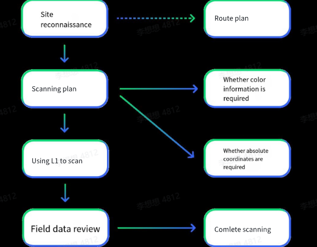
In building facade renovation, gather project information as much as possible and make preliminary plans based on project needs. Conduct on-site inspections to verify the feasibility of project plans. Understand the site environment, clarify field work data collection tasks, plan and deploy routes, and adjust Lixel L1 equipment and related parameters according to project requirements. Using the RTK module, assign coordinates to the data, output orthophoto images as a reference map based on the range line, and efficiently scan using Lixel L1 for 3D data collection.
Use Lixel L1 for standard scanning to obtain 3D point cloud and image data.
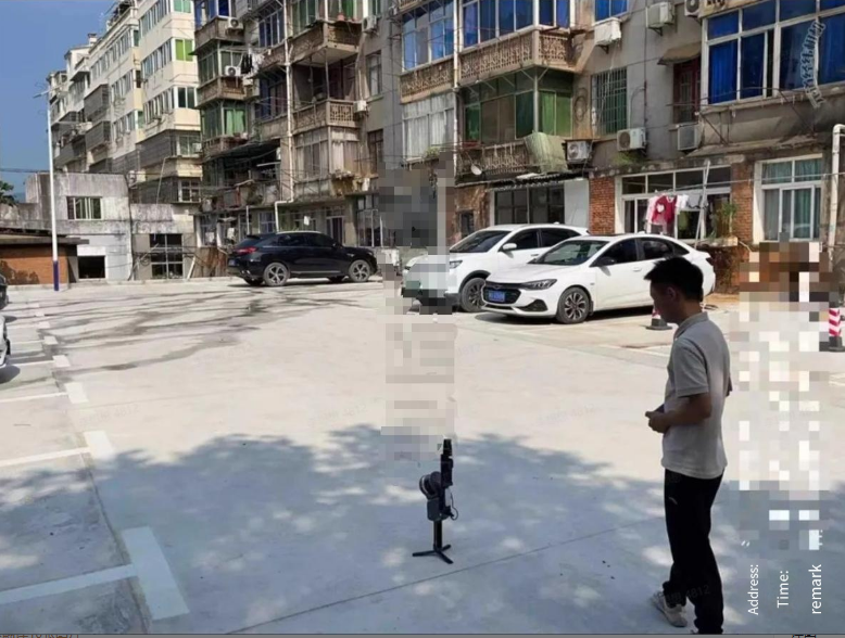
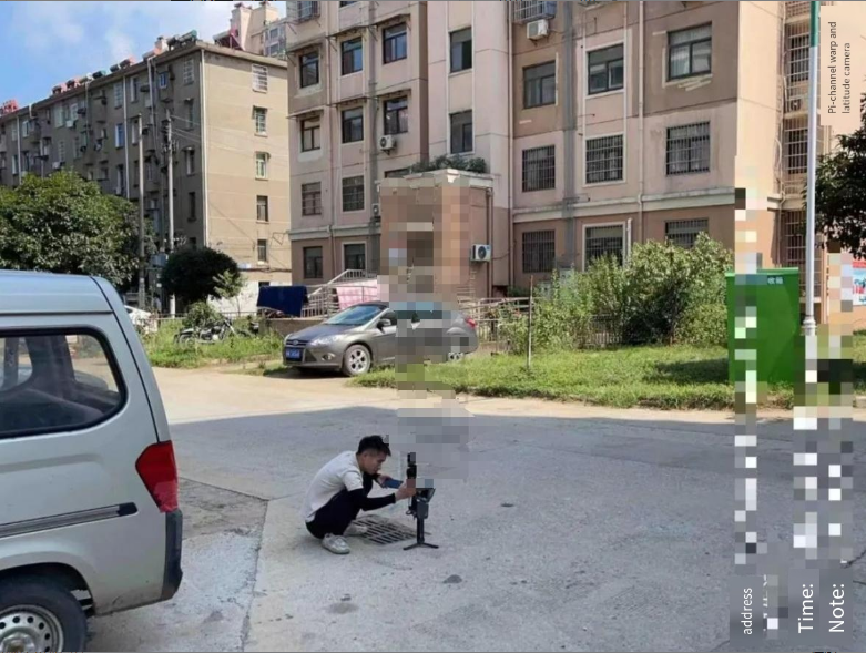
Three Notes for Scanning
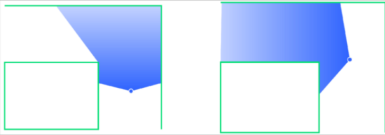
Note 1:
Walk through small closed loops, seek for more common visual overlaps, and avoid constantly scanning new areas to reduce cumulative errors. Maintain a normal walking speed during scanning, and smoothly navigate through right angles whenever possible.
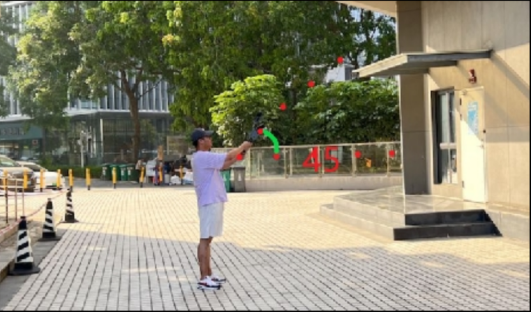
Note 2:
Ensure the device forms a 45-degree angle with the ground facing forward in relation to the surveyed area. This facilitates better scan of facade data.
Note 3:
If there are objects such as trees or vehicles at the base of tall buildings, scan from an unobstructed position first and then extend the scan to the farthest possible end.
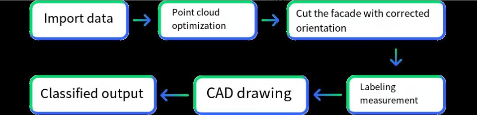
Export scan data from Lixel L1, use LixelStudio processing software for point cloud overall optimization, nosize point removal, coordinate alignment, coloring, dynamic objects removal, etc. For large datasets, multiple stitching can be performed to obtain the final point cloud deliverables.
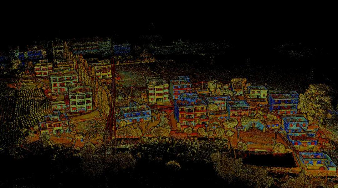
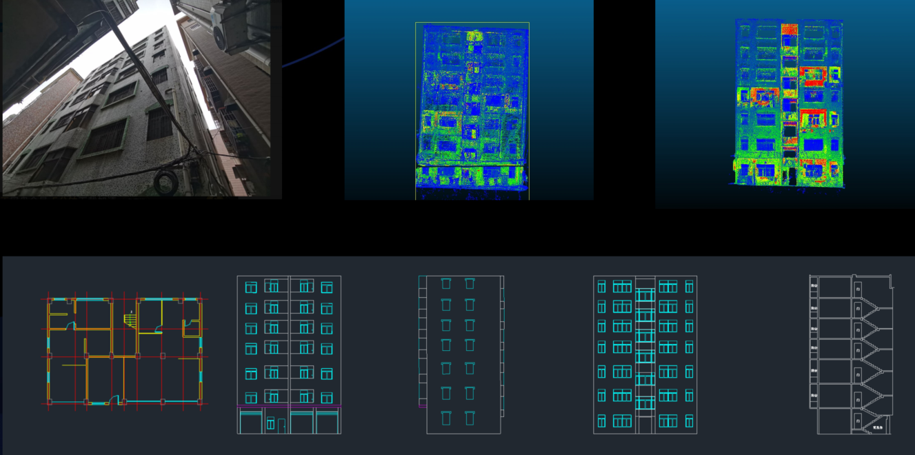
▲Overal point cloud
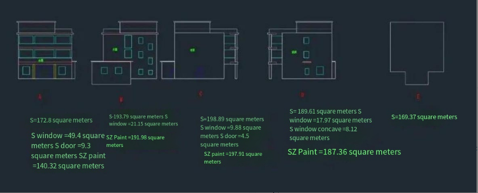
Scan and draw facade drawings in four views—front, back, left, and right,by determining the orientation of the facade views and adjusting the needed perspective, and then using software tools to perform measurements on the 3Dl point cloud data.
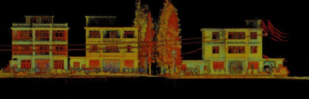
▲Front view
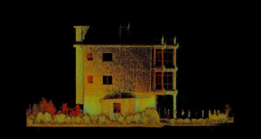
▲Side view
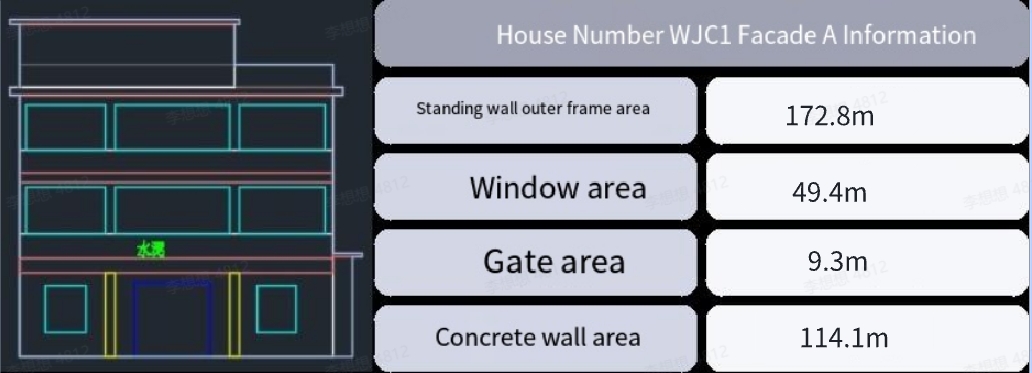
According to customer requirements, survey the main components of buildings such as doors, windows, air conditioner positions, walls, stairwells, etc. Calculate distances from the ground and the edges of the left and right walls. For parts obscured by other objects, use filled shading lines to represent shadow obstructions.
Place building components like doors, windows, roofs, balconies, parapets, columns, steps, etc., on corresponding drawing layers and draw all target objects on the front, back, left, and right elevations of the building. Finally, organize and submit the results. LixelStudio, the post-processing software can provide a "Image-Point Cloud Comparison" data display method, presenting point cloud data with panoramic images (the left), allowing users to select target areas on the small map (the right), greatly facilitating facade drawing work.
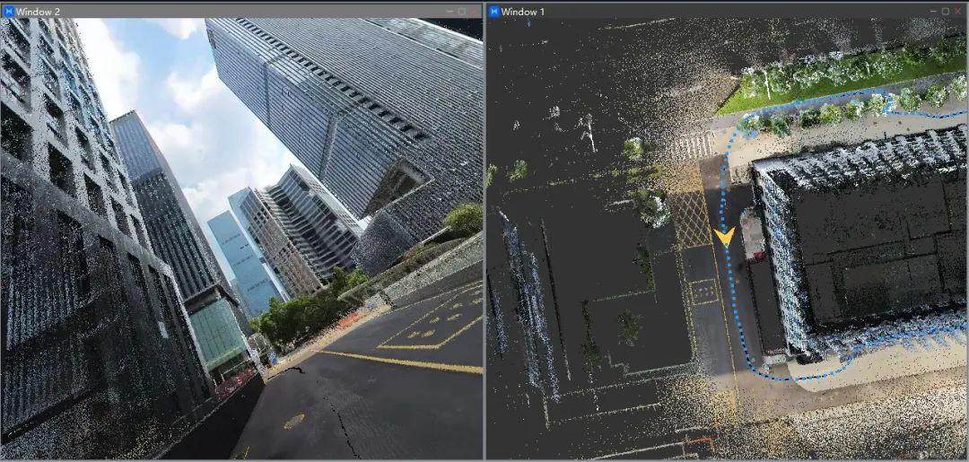
▲Image-point cloud comparison for drawing and details confirmation
Lixel L1's contactless scanning of building facades provides a rapid, precise, and convenient measurement operation mode, offering an innovative solution for facade measurement in urban renewal and preservation.
Reality capture let Netflix's Monster scout 35 Italian locations in four days with PortalCam, then plan shots remotely through virtual scouting of 3DGS scans.
.png?x-oss-process=image/resize,w_800/quality,Q_50)
A one-hour Lixel K1 scan of six Culver City blocks gave a generative film pipeline the fixed geometry it needed to keep six locations consistent.

Handheld 3DGS by PortalCam helped CyArk document three landmark interiors for America 250, solving mirror reflections and low-light field challenges.

Handheld 3D capture brings real museum spaces to LED volumes, replacing green screens and photogrammetry for fast, cinematic virtual camera moves.