AEC3DGS
The Virtual Job Site: Skender's Workflow for Measurable, Photorealistic Construction Documentation
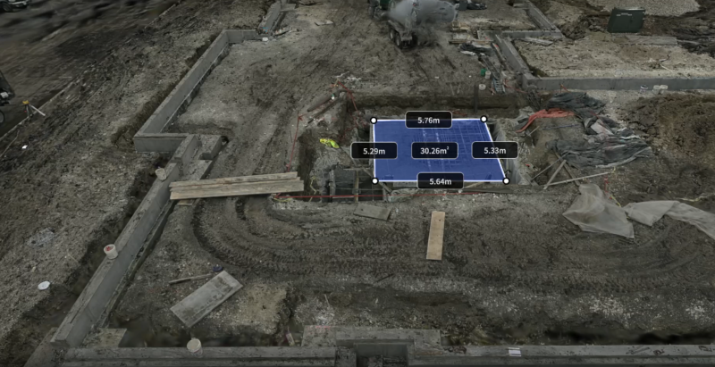
How a single technology pivot can compress field time from days to minutes while giving every trade partner access to a virtual jobsite.
Reality capture case studies from teams scanning bridges, mines, heritage sites, film sets and homes, with field times, accuracy and as built documentation.
How a single technology pivot can compress field time from days to minutes while giving every trade partner access to a virtual jobsite.
 (1).jpg?x-oss-process=image/resize,w_800/quality,Q_50)
Whispers of the Vanishing Wild: Preserving Veracruz's Hidden Waterfall Through Digital Conservation
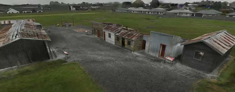
New Zealand Construction Firm Proform Group Achieves Photorealistic 3DGS Models of Historic Structures with XGRIDS K1
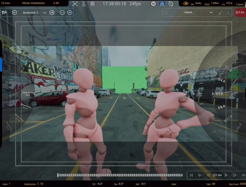
Global Objects is redefining how productions are planned and executed using Gaussian Splat-based digital twins. By integrating XGRIDS' Lixel series handheld SLAM scanners, they enable filmmakers to scan locations in under 30 minutes, achieving 1.2 cm accuracy for precise set measurements.
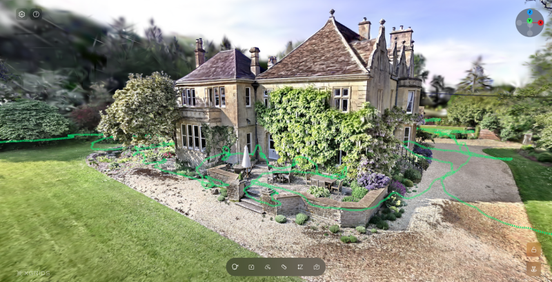
See how XGRIDS dealer AGS turned one PortalCam visit to a historic English bed and breakfast into three flythrough videos and an interactive 3DGS scene.
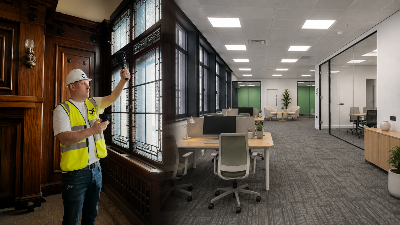
A Halifax developer leased offices mid-renovation using walkable 3D tours captured with XGRIDS PortalCam and processed in LCC for pre-completion leasing.
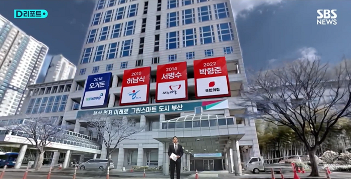
SBS launches Korea's first AIXR Studio built on 3D Gaussian Splatting, using the XGRIDS LCC format to turn captured locations into live XR broadcast sets.

Active Retech brings real-world spatial context into residential design proposals using the XGRIDS Lixel K1 handheld scanner and Unreal Engine.
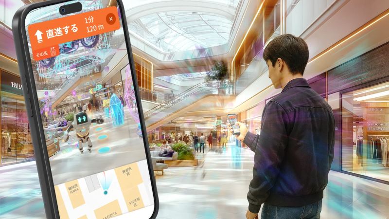
XGRIDS 3DGS models power MultiSet's VPS behind 360 Maps, an AR navigation platform delivering centimeter-level positioning in complex Tokyo venues.
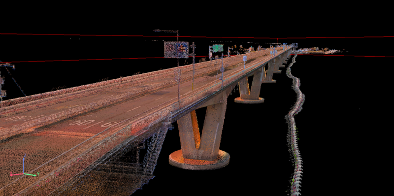
A single round-trip by boat, delivering 3D data ready for engineering workflows.
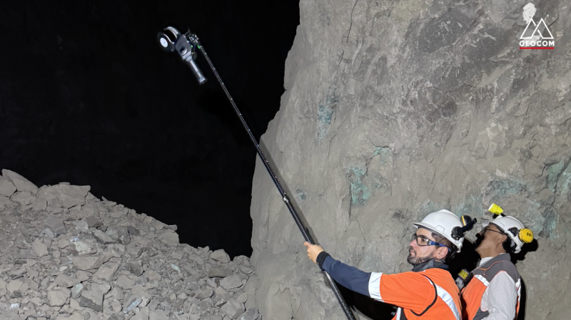
Recurring Stope Monitoring in an Active Underground Mine, Chile
.PNG?x-oss-process=image/resize,w_800/quality,Q_50)
Immersive tech is reshaping heritage access. At the LWL Open-Air Museum Detmold, historic buildings are often off-limits to protect them. To solve this, a student team used XGRIDS's Lixel Kity K1 & PortalCam to create a navigable, photorealistic 3D twin of the entire 90-hectare site in days. Visitors can now explore every corner on a 4-meter touchscreen, gaining a holistic understanding before setting foot outside. This "capture once, deploy everywhere" model—extending to VR and web—proves that cutting-edge spatial computing can make fragile history universally accessible without compromise. Thanks for Prof. Dr. Alexander Kutter, LWL-Freilichtmuseum Detmold and Volinga help.