
Case Studies
Virtual Pre-Production for Netflix's Monster: The Lizzie Borden Story.
Reality capture let Netflix's Monster scout 35 Italian locations in four days with PortalCam, then plan shots remotely through virtual scouting of 3DGS scans.
A Halifax developer leased offices mid-renovation using walkable 3D tours captured with XGRIDS PortalCam and processed in LCC for pre-completion leasing.
| Property | Permanent Buildings, Halifax town centre, UK. 19th-century building under redevelopment. |
| Use mix | Floors 1–4 office; ground floor retail or hospitality unit |
| Floor area | 4,920 sqm (floors 1–4) |
| Capture provider | ClearPath360 (Chris Miles) |
| End client / developer | OCMS |
| Hardware | PortalCam |
| Software | LCC (Lixel CyberColor) |
| Deliverable | Walkable 3D tours, captured at multiple stages across the renovation. |
Halifax’s town centre still runs on the buildings its 19th-century industry left behind. Bringing one back into use, rather than clearing the site, keeps the centre working. Permanent Buildings is one of these: a period property being brought back as offices above a ground-floor retail or hospitality unit.
Reopening a historic building as commercial space is rarely a single clean handover. The work is phased and the uses are mixed. The developer has to let the offices while the building is still a working site.
That timing is where the commercial pressure sits. A finished building with no tenants earns nothing, so a developer wants tenants lined up as the work wraps up, not months after. The catch: this means asking a tenant to choose a space they cannot yet walk, in a building that changes week to week.
The developer needed to lease those offices while the building was still an active site. This is the hard part of marketing commercial space mid-redevelopment: the floors an agent has to let are the floors that are not finished yet.
Fixed-point photos and video can show a completed show floor. They cannot help a prospective tenant judge an unfinished one. And they date every time the site changes.
ClearPath360 captured Permanent Buildings with PortalCam at several points across the renovation. Each capture was processed through LCC into a walkable 3D tour.
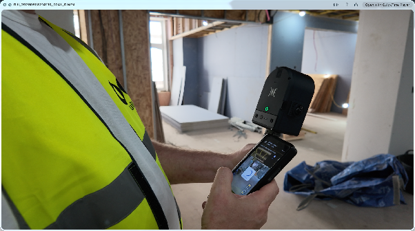
The primary job was leasing. Prospective tenants could move through unfinished floors in first person via a web listing. They could read the space, the sightlines, and how the floors connect. Leasing ran alongside construction instead of waiting for practical completion.
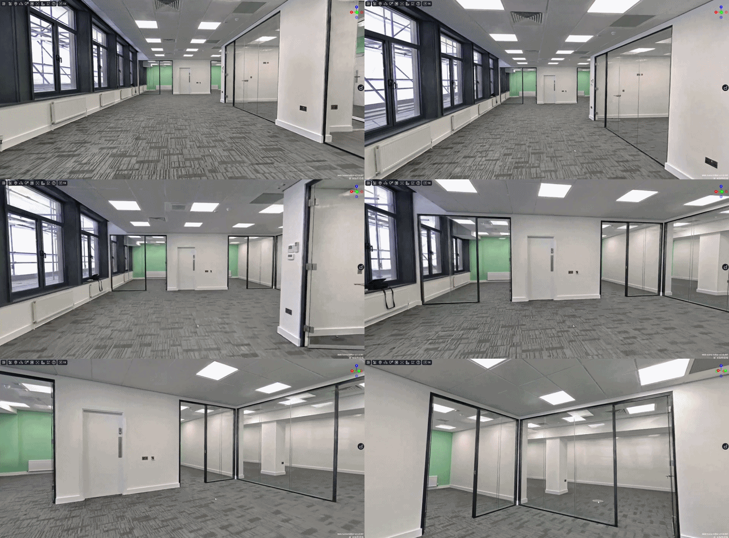
The same link could be sent to colleagues who were not in Halifax, so a decision didn’t have to wait on getting everyone to site. Conversations that would usually hold until a space was finished and presentable could begin while the building was still scaffolded.
Four things the walkable model does that a photo gallery can’t:
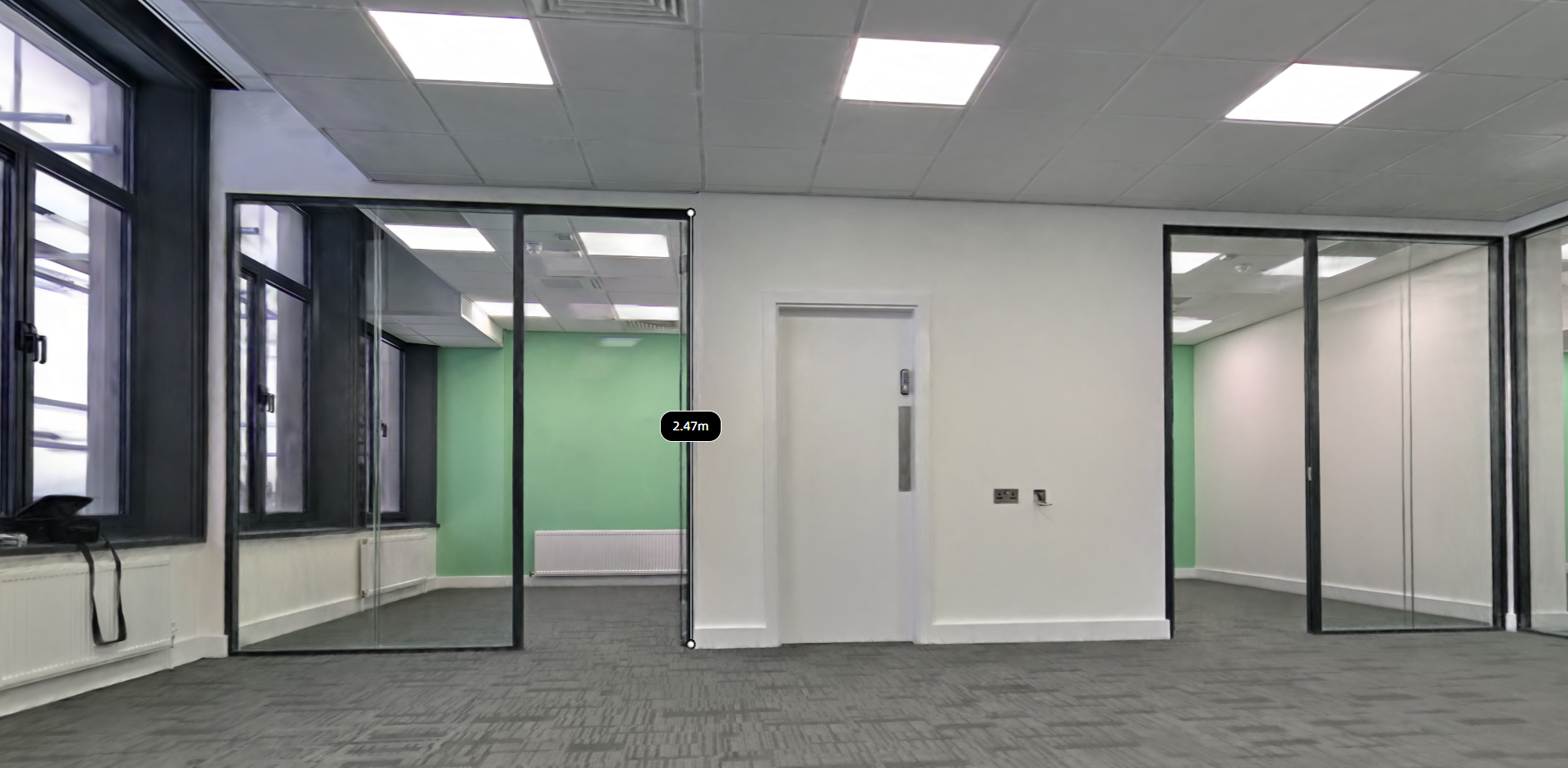
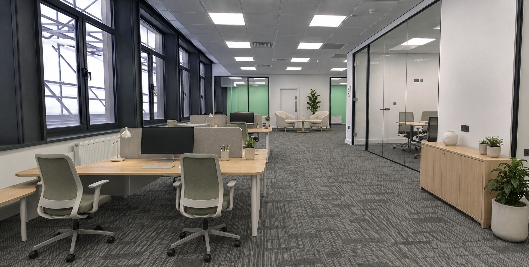
Would a Scandinavian-style office work in this space?
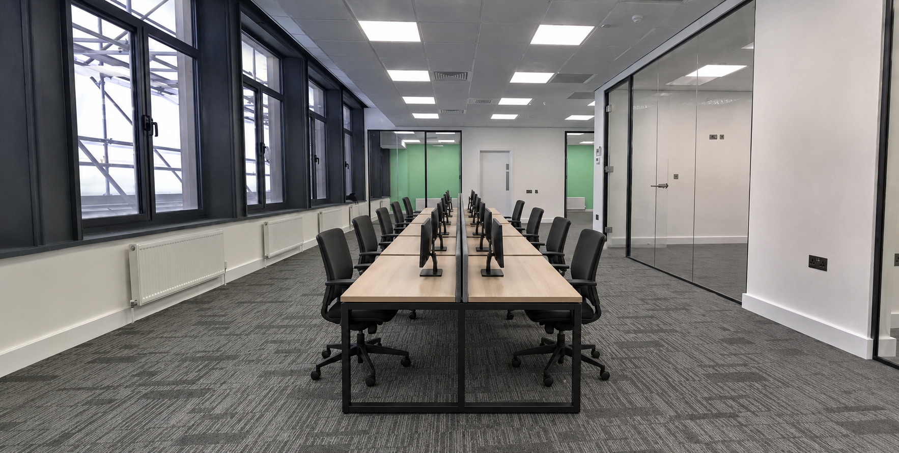
How about a different style?
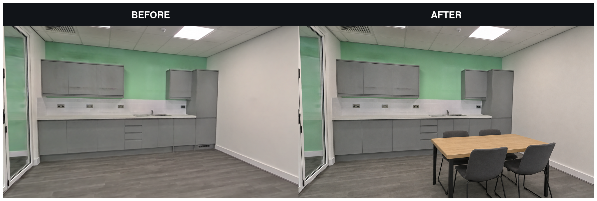
Would a four-person table work in the break room?
The walkable record was made for leasing. Once it existed, the developer and its contractors reused it without commissioning anything new.
Repeat captures gave the team a dated 3D record of the building’s state. They could check progress and time scaffold removal without another site visit. That included facade areas otherwise hidden behind the scaffold.
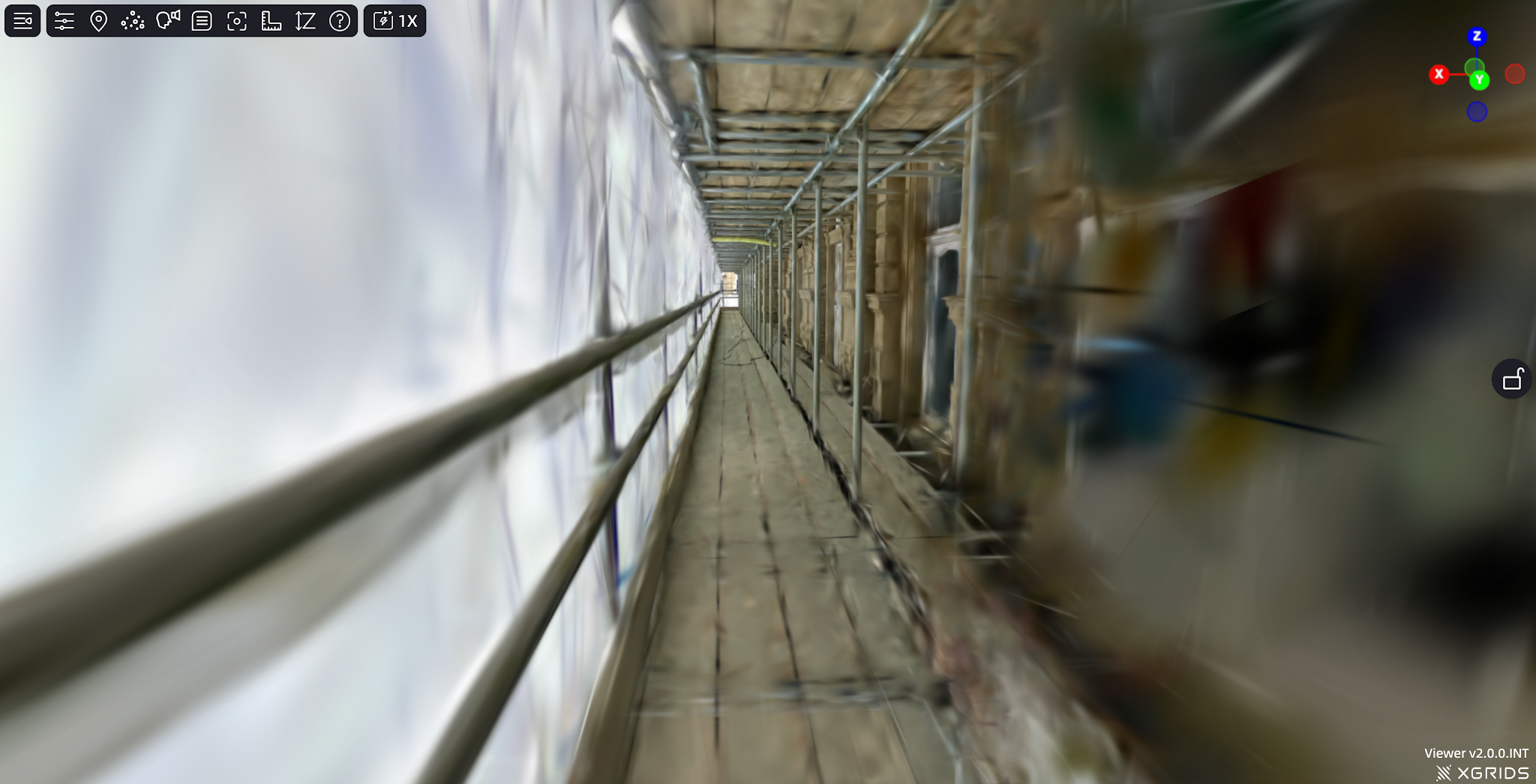
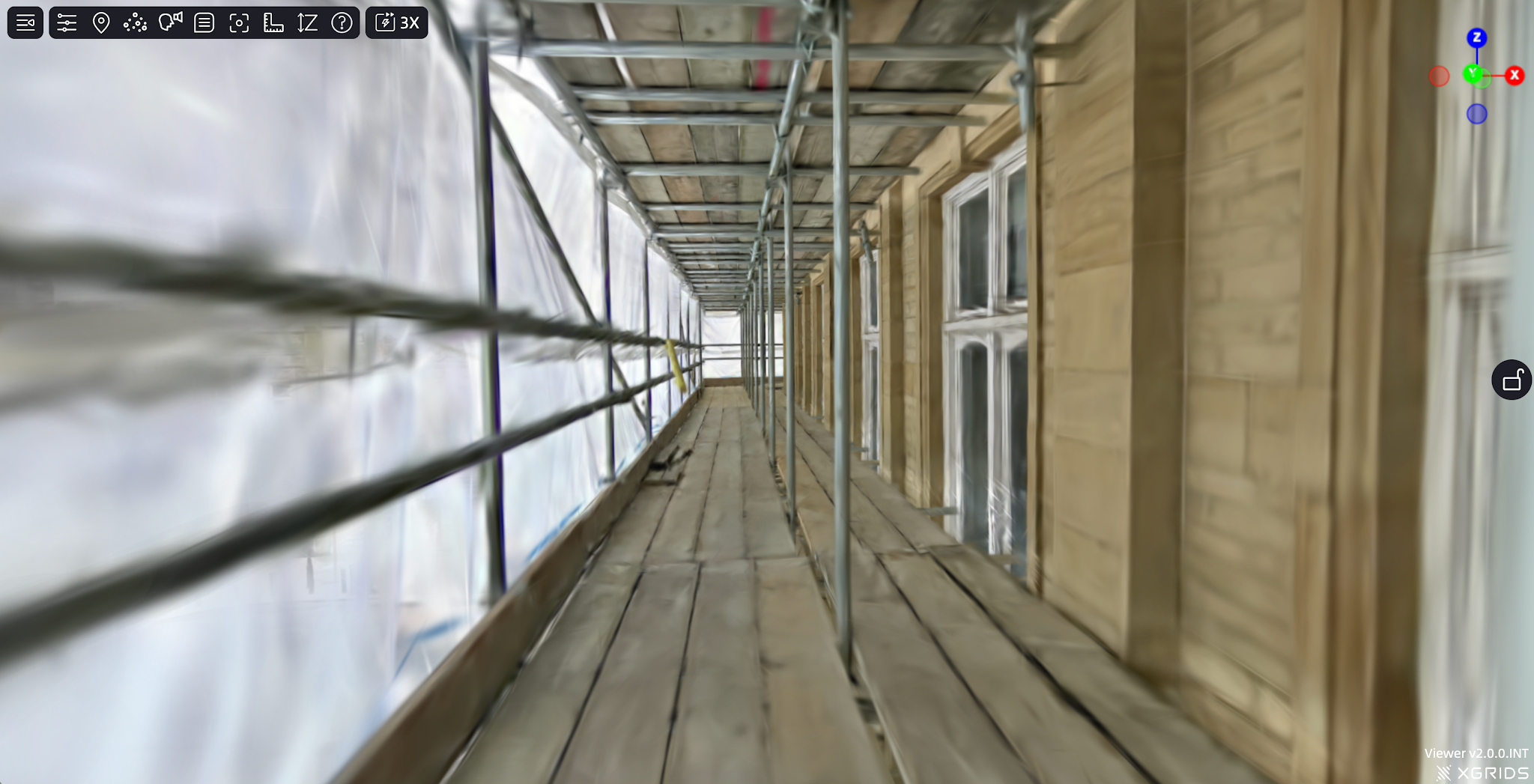
The period interiors, including the ballroom, were also recorded as a heritage reference. The building’s original character stays retrievable once the renovation has moved past it.
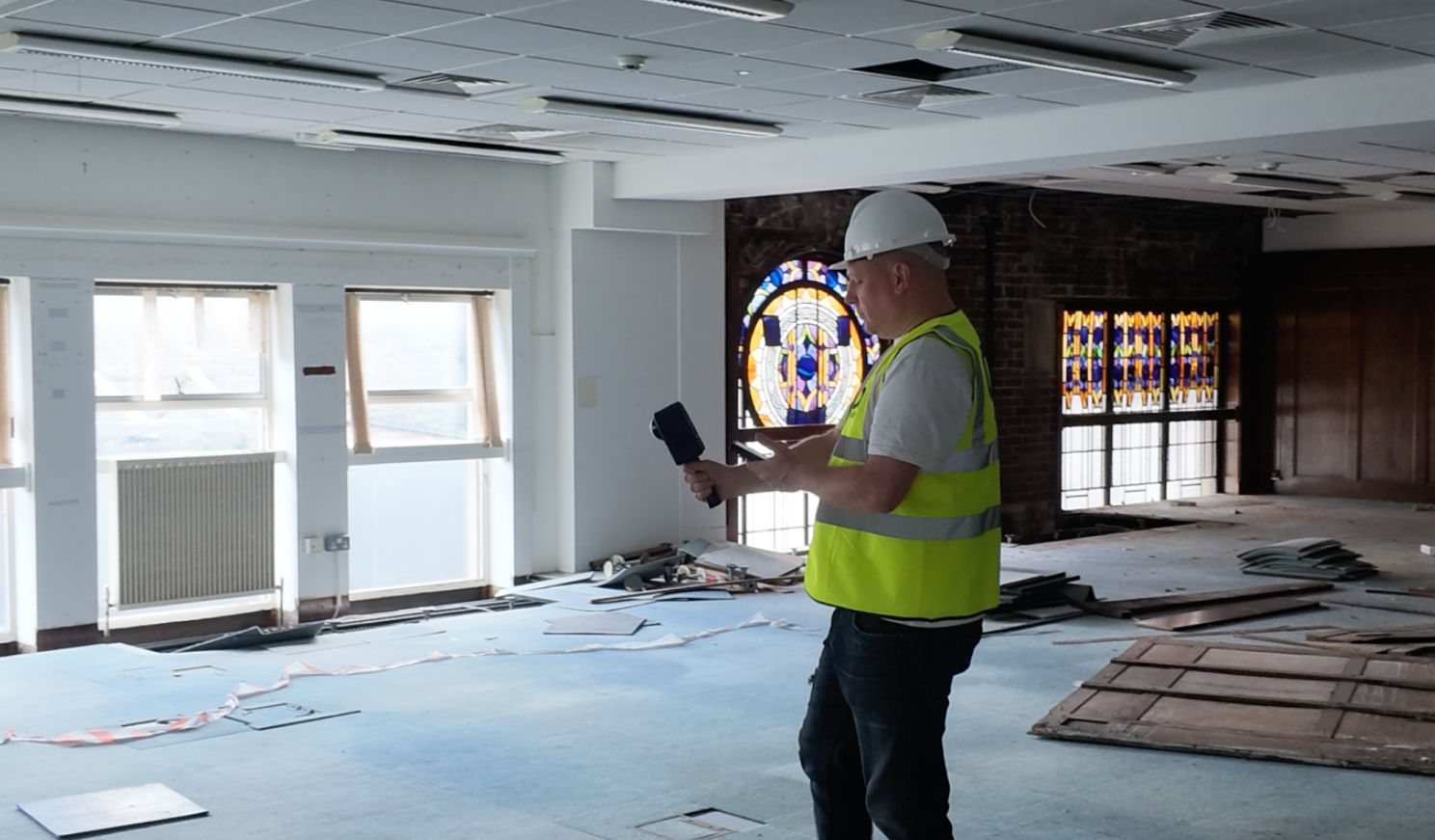
Capture the space as it stands with a mobile scanner and publish it as a walkable 3D tour. Prospective tenants can move through unfinished floors online and judge scale and layout, so leasing conversations can start before practical completion rather than waiting for it.
A walkable 3D tour lets a viewer move continuously through a captured space in any direction. It is built from 3D Gaussian Splatting (3DGS), which reconstructs the scene as an immersive, navigable model rather than a set of fixed photo positions linked by jumps, and does not warp the scene at different angles. A 360 virtual tour places the viewer at set points and moves them between those points, which breaks the continuous sense of scale as you move.
Yes. Repeat captures during construction record the building’s changing state and can show facade areas before scaffold removal, giving the developer and contractors a dated reference for progress and scaffold-timing decisions.
The interior is scanned and reconstructed as a 3D model that preserves the spatial character of period features, keeping them retrievable as a reference independent of any later renovation work.
XGRIDS is a spatial intelligence company. It reconstructs real places at engineering-grade accuracy so professionals, everyday users, and the AI that learns from these spaces can work from the same data. Hardware covers spatial scanners (Lixel L series and K series) and spatial cameras (PortalCam). Software includes LixelStudio and LCC. Products are in use with 8,000+ customers across 80+ countries. The open LCC format is used in the NVIDIA Isaac Sim official workflow. Customers capture, process, and export in the device and local software. XGRIDS supplies the hardware and local tools. It does not provide surveying services, and does not access or retain project data.
Bridge Reality. Build Digital Worlds.
media@xgrids.com
XGRIDS provides hardware capture devices and local software tools only, and does not provide surveying/mapping services. All data is captured, stored, processed, and exported by the user; XGRIDS does not participate in on-site capture and does not access, control, or retain any user project data or deliverables.
Reality capture let Netflix's Monster scout 35 Italian locations in four days with PortalCam, then plan shots remotely through virtual scouting of 3DGS scans.
.png?x-oss-process=image/resize,w_800/quality,Q_50)
A one-hour Lixel K1 scan of six Culver City blocks gave a generative film pipeline the fixed geometry it needed to keep six locations consistent.

Handheld 3DGS by PortalCam helped CyArk document three landmark interiors for America 250, solving mirror reflections and low-light field challenges.

Handheld 3D capture brings real museum spaces to LED volumes, replacing green screens and photogrammetry for fast, cinematic virtual camera moves.