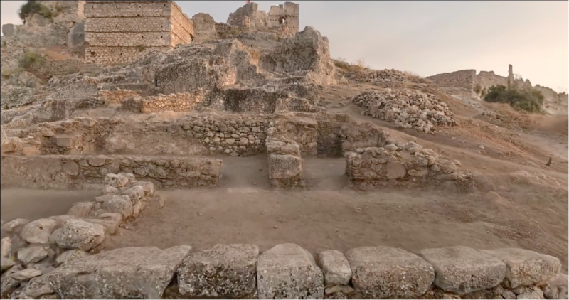
Atlihan Surveying Engineering transformed a 1,000 m² excavation site in Turkey into a fully explorable 3D digital archive in under 2 hours.
Case Studies
Reality capture case studies from teams scanning bridges, mines, heritage sites, film sets and homes, with field times, accuracy and as built documentation.

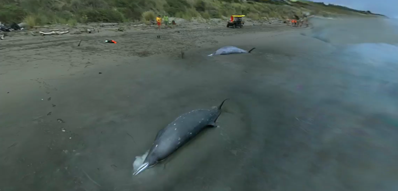
Creative applications of 3D tech: Creating a digital copy of Gray's beaked whales with XGRIDS Lixel K1 and LCC

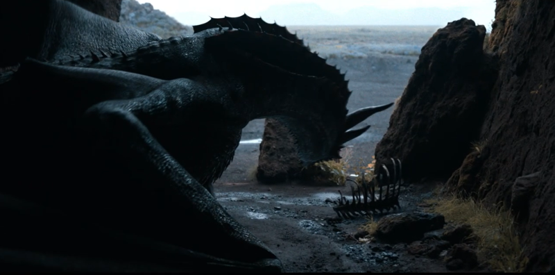
When Compositing Academy's founder Alex Henneman decided to film a CGI dragon in a remote Icelandic cave, the project required a complete rethinking of virtual production workflows. Using an iPhone, Sony FX3, and cutting-edge spatial capture technology from XGRIDS, the team achieved cinematic-quality VFX in an uncontrolled environment while facing multiple logistical challenges including conflicting film shoots and delayed schedules due to equipment failures.
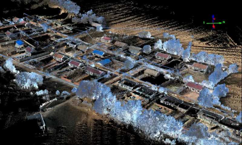
Using the XGRIDS Lixel L2 Pro, a surveying team completed real-time measurement of a 0.2 km² no-fly zone in 15 minutes, achieving true-color point cloud data with 3cm absolute accuracy. The workflow reduced project time by 80% and increased efficiency threefold, demonstrating a viable alternative to drone-based surveying.
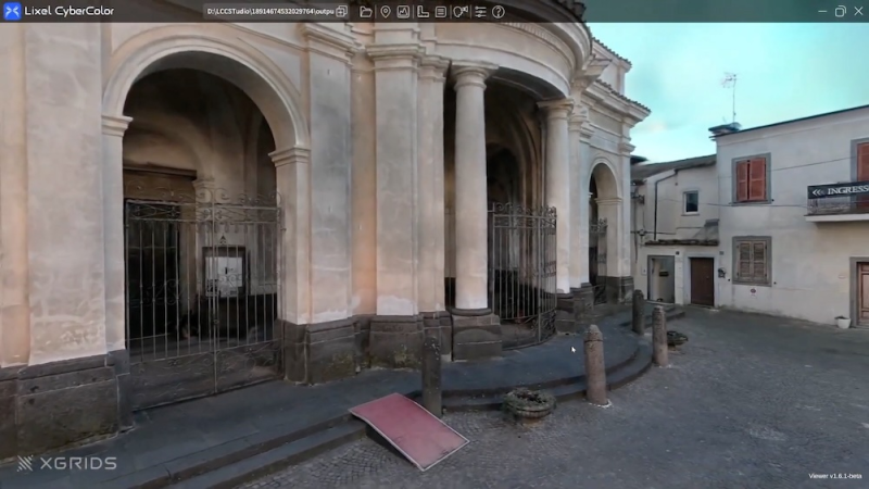
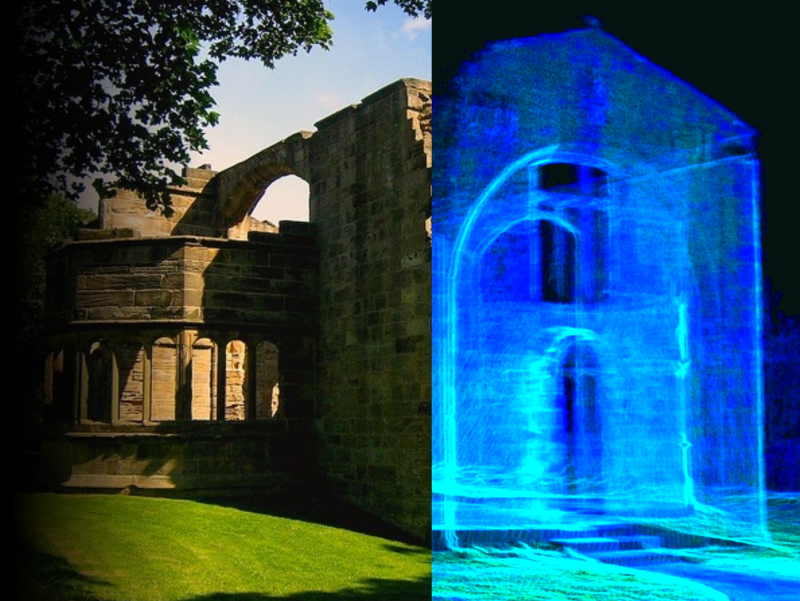
Veteran cinematographer Roberto Schaefer's adoption of XGRIDS' 3D Gaussian Splatting technology demonstrates how established professionals can leverage emerging tools to solve persistent industry challenges. Through cultural documentation and international film location scouting, Schaefer validated practical applications that extend beyond typical virtual production use cases.

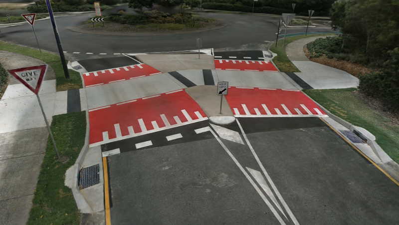
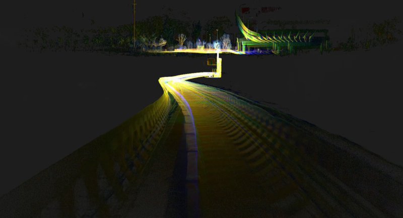
AECT Solutions partnered with a Southeast Queensland council to pilot a transformative digital QA workflow for a raised pedestrian crossing project. Leveraging the XGRIDS Lixel L2 Pro and K1 handheld LiDAR units, combined with 3D Gaussian Splatting (3DGS), AECT delivered faster, safer, and more accurate outcomes across the full infrastructure lifecycle.

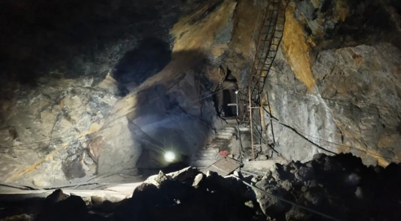
Create accurate digital twins of challenging underground mining environments, including 100m vertical shafts and subterranean rivers

XGRIDS’ partner deployed the Lixel L2 Pro handheld 3D scanner, enabling high-precision mapping to support project validation and acceptance.

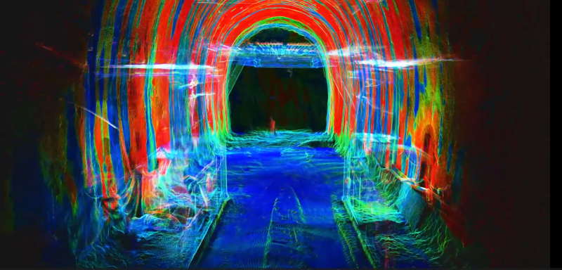
Mobile scanning system changes infrastructure digital construction.

In the "BANDUNG AND SCHOEMAKER" exhibition, 1ndustry - 3D Scan Indonesia leveraged XGRIDS’ 3D SLAM Scanner to not only assist in the exhibition

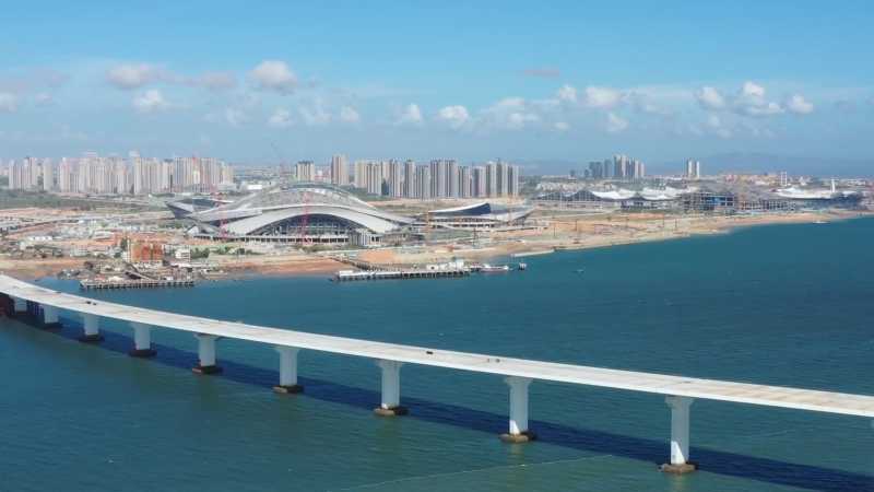
By enabling precise navigation element measurements, this solution significantly improved operational surveying efficiency and safety in maritime chan

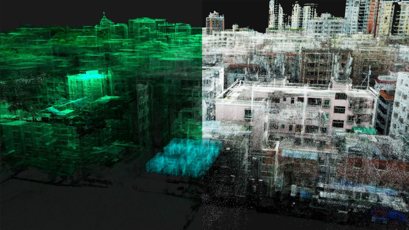
By replacing traditional manual methods, XGRIDS enables faster, more precise floor plan creation, enhancing decision-making in property management.