
Case Studies
Virtual Pre-Production for Netflix's Monster: The Lizzie Borden Story.
Reality capture let Netflix's Monster scout 35 Italian locations in four days with PortalCam, then plan shots remotely through virtual scouting of 3DGS scans.
AECT Solutions partnered with a Southeast Queensland council to pilot a transformative digital QA workflow for a raised pedestrian crossing project. Leveraging the XGRIDS Lixel L2 Pro and K1 handheld LiDAR units, combined with 3D Gaussian Splatting (3DGS), AECT delivered faster, safer, and more accurate outcomes across the full infrastructure lifecycle.
AECT Solutions partnered with a Southeast Queensland council to pilot a transformative digital QA workflow for a raised pedestrian crossing project. Leveraging the XGRIDS Lixel L2 Pro and K1 handheld LiDAR units, combined with 3D Gaussian Splatting (3DGS), AECT delivered faster, safer, and more accurate outcomes across the full infrastructure lifecycle.
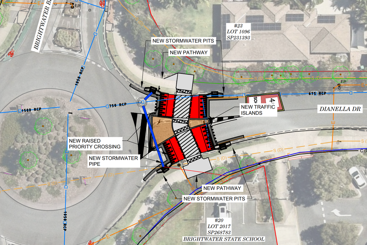
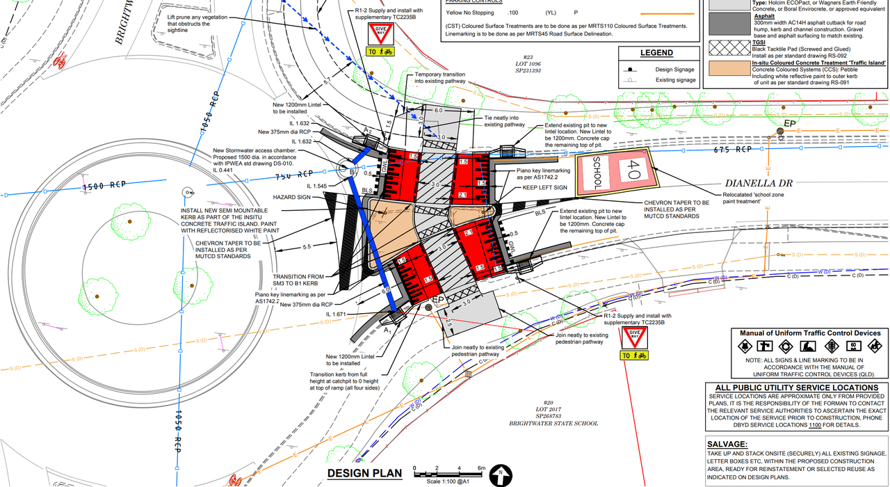
AECT Solutions needed to deliver comprehensive QA documentation for a raised pedestrian crossing while minimising exposure to high-traffic road hazards and meeting stringent TMR Queensland compliance standards.
The raised pedestrian crossings are vital safety features that slow vehicles and enhance pedestrian visibility, especially in residential and school zones where community safety is a priority. These installations need precise construction tolerances to ensure proper drainage, accessibility compliance, and integration with existing roads, footpaths, kerbs and channels, bike lanes, making accurate QA documentation crucial for durability and liability protection. Additionally, the entire project must be completed within the two-week school holiday, which tests the overall efficiency of the project planning, construction and Quality Assurance.
Deploy XGRIDS Lixel L2 Pro and K1 handheld LiDAR scanners with next-gen Lidar + 3D Gaussian Splatting (3DGS) software technology for a complete digitalization of the project lifecycle, from pre-construction planning through to as-built delivery.
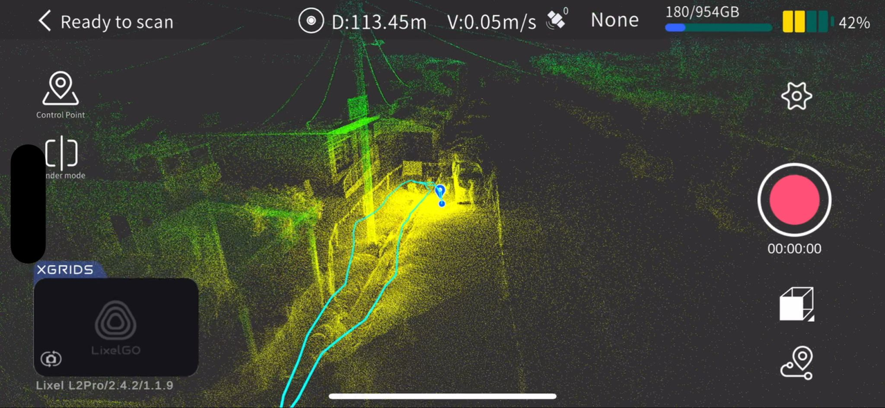
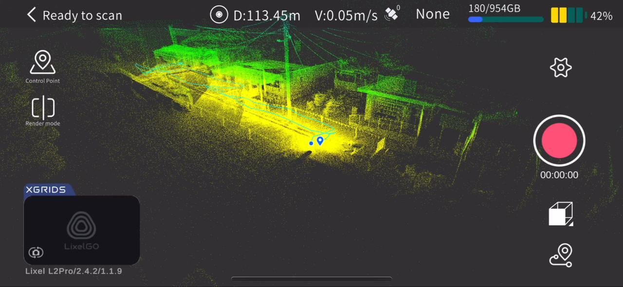
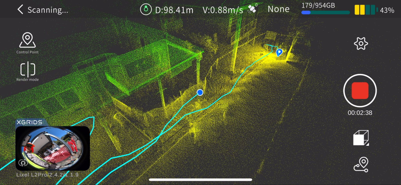
The operator used the Lixel L2 Pro scanner to complete comprehensive site capture in 10 minutes, including setup, delivering 2-3 cm relative accuracy. While not a replacement for millimetre-precision total stations, the LiDAR+Panorama data offered rapid, 3D-rich insights with centimetre-level accuracy, ideal for site QA, verification, and planning overlays.
"The pre-construction 3D model provided a single, accurate, geo-referenced dataset that the surveying, planning, design, and project delivery teams could all work from," explains Jacob Li, Owner of AECT Solutions.
Point clouds integrated seamlessly into design workflows via .las and .rcp formats for AutoCAD and Revit, supporting both planning overlays and detailed as-built comparisons.
AECT Solutions achieved 50-70% time savings in on-site measurement and documentation through comprehensive digital verification addressing multiple critical parameters:
Concrete Pour Verification:
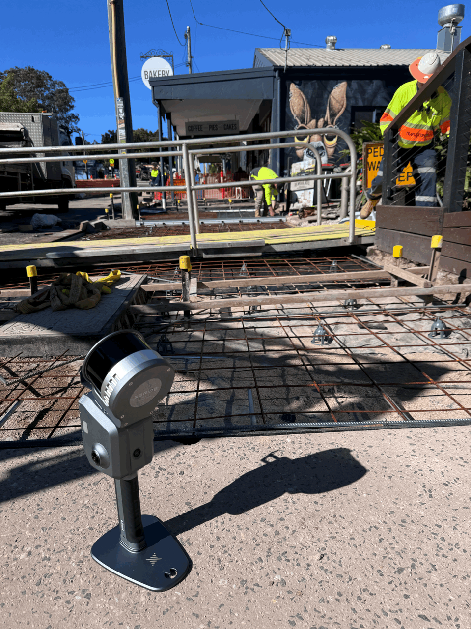
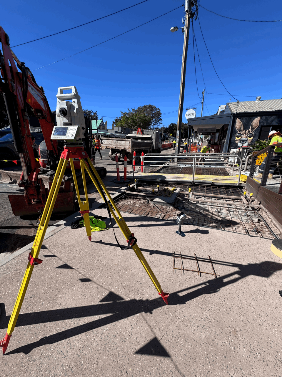
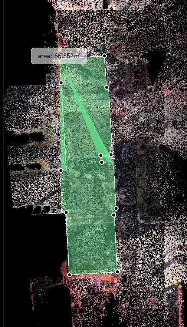
Steel Mesh Verification: "We used the high-resolution point cloud captured by the XGRIDS Lixel L2 Pro to measure the spacing between the steel mesh bars directly within the 3D data," Li explains. "Measurements were taken between individual bars across multiple points of the pour area, confirming compliance with the nominal 200mm spacing specified in the drawings."
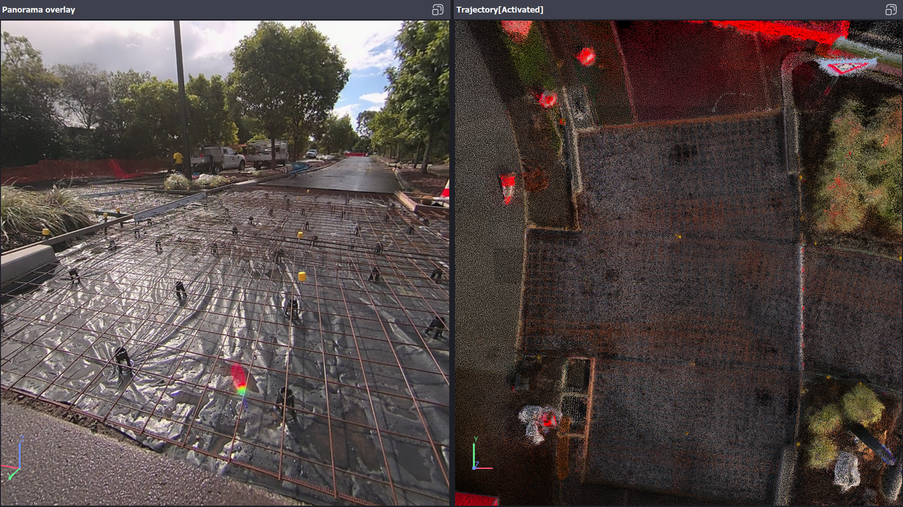
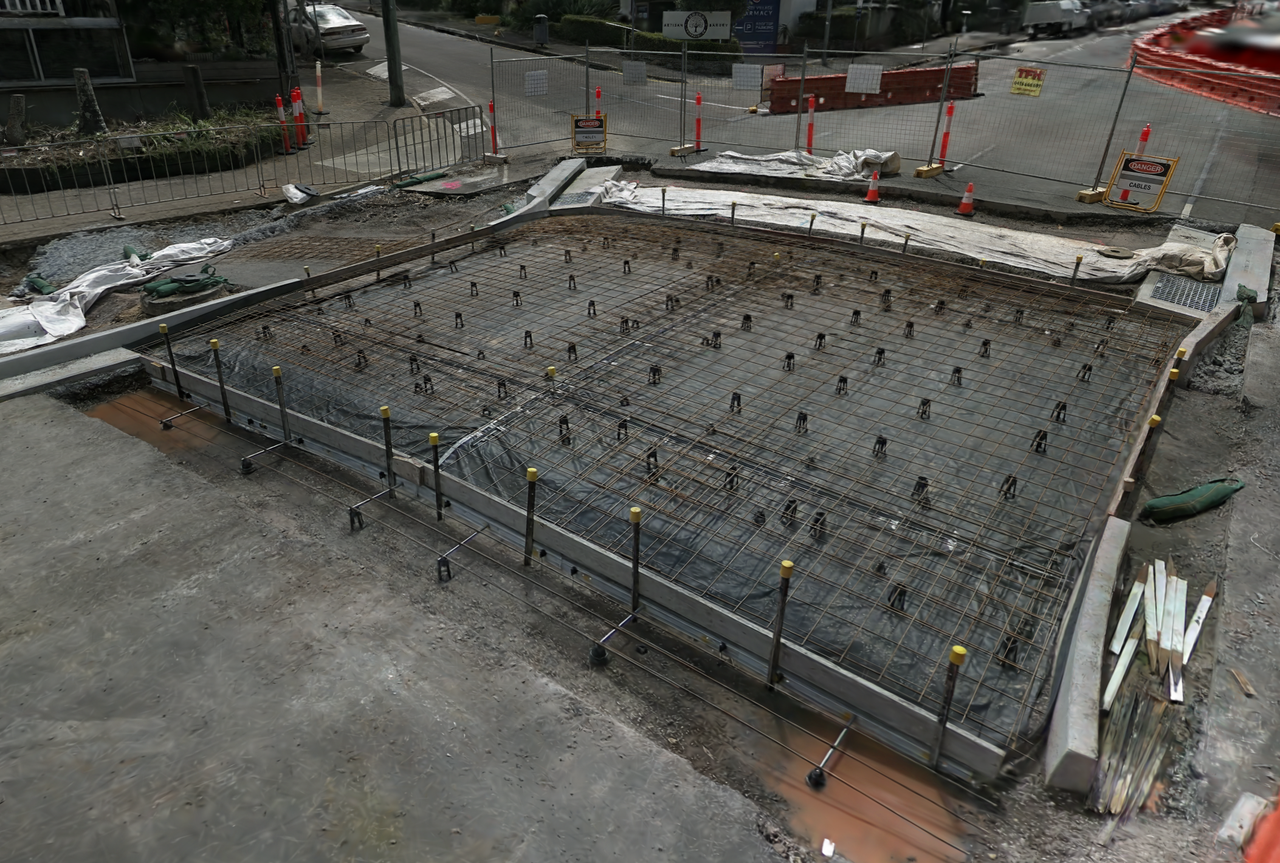
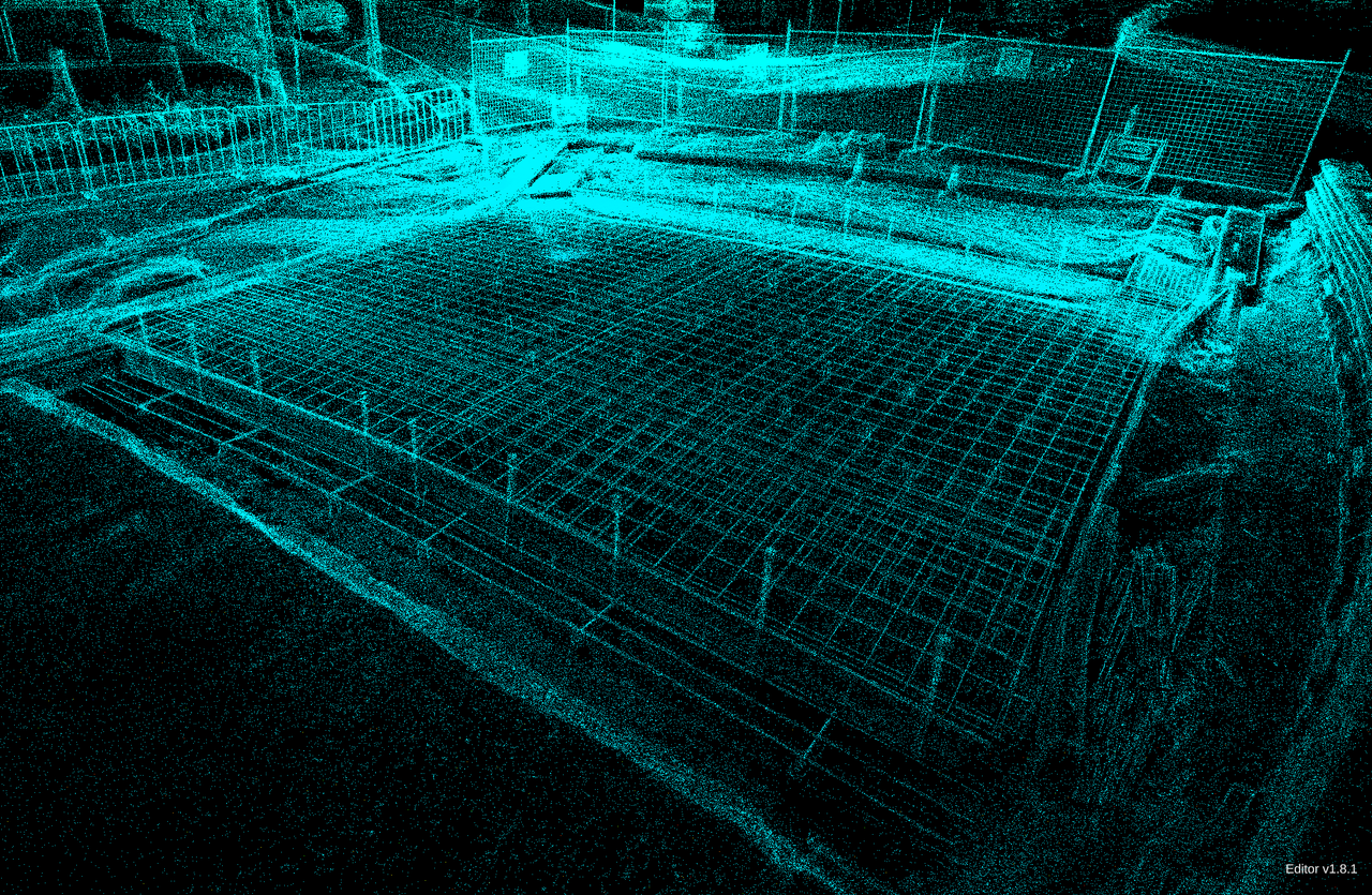
Enhanced Documentation: Panoramic overlays provided visual context linked to precise measurements, eliminating ambiguity in HSEQ reporting. "The geo-referenced point cloud and annotated panoramic overlays provided clear, defensible evidence of mesh placement and slab preparation," enabling comprehensive, transparent QA reports integrated into council asset records.
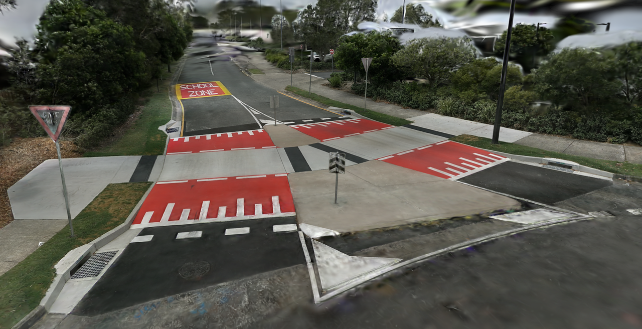
Profile Analysis & Cross-Section Verification
Critical measurements included:
The profile analysis tool enabled instant comparison of actual profiles against design templates, detecting and quantifying deviations in slope, thickness, or alignment while generating visual evidence for HSEQ and QA reports.
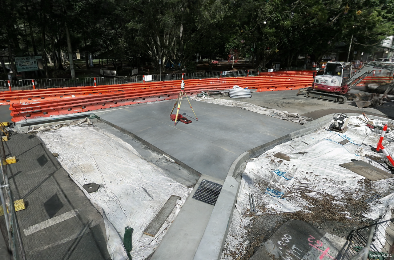
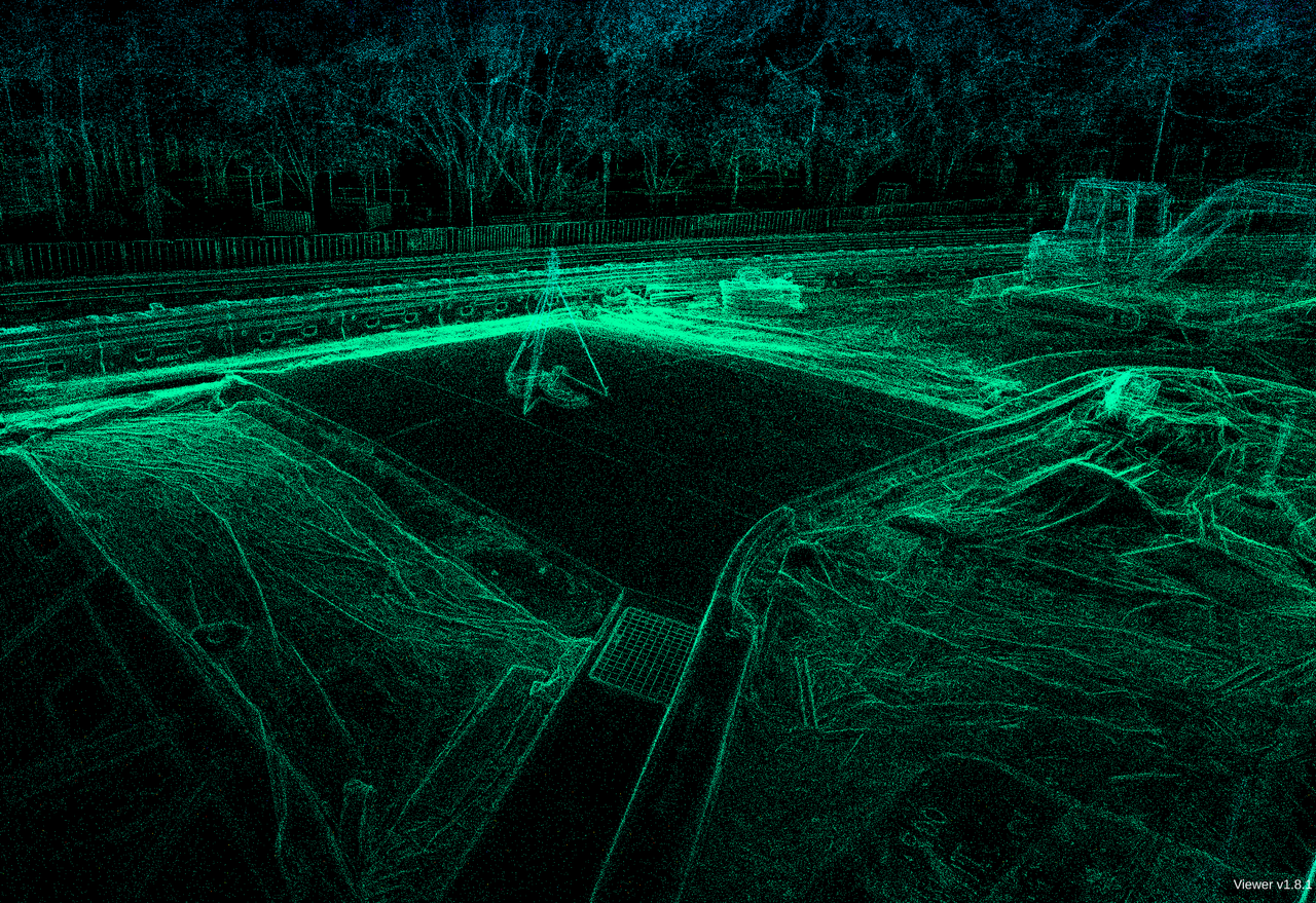
The as-built digital twin matched design specifications within acceptable tolerances. Deliverables included:
"The digital twin serves as a verified baseline for future works, enabling accurate planning, asset inspections, and upgrades without repeated site surveys," Li notes.
| Metric | Improvement |
| Field documentation time | 50-70% reduction |
| Post-processing | 1-2 hours saved per scan |
| Follow-up site visits | 1-2 visits eliminated |
| Project lifecycle time | 20-30% reduction |
"The post-processing workflow reduced office work by approximately 1–2 hours per scan because the raw point cloud data was immediately usable for QA checks, annotations, and measurements," notes Li.
The Council received transparent, auditable QA records with enhanced HSEQ compliance. "The Council valued the transparency and quality of the digital records," Li reports. The digital twin now forms part of the project's legacy archive in the Council's asset register for future reference and maintenance planning.
The centimeter-accurate, geo-referenced data supports future infrastructure planning by providing planners with precise information for design development, clash detection, and alignment with regional infrastructure plans.
This workflow demonstrates potential for broader municipal infrastructure applications across Australia and similar jurisdictions. The documented time savings and compliance benefits create immediate value for:
Current Applications:
Strategic Considerations: Municipal departments can consider this workflow for building comprehensive digital asset libraries, potentially reducing long-term maintenance costs through accurate baseline documentation. While municipal procurement teams are increasingly incorporating digital capture requirements into infrastructure tender specifications. The streamlined post-processing capability also makes advanced 3D capture technology more accessible for smaller councils with limited technical resources.
Implementation Outlook: The demonstrated 20-30% project lifecycle reduction and elimination of multiple site visits could create compelling business cases for similar infrastructure agencies. XGRIDS is committed to creating solutions that bridge the gap between survey-grade accuracy and practical field efficiency, building toward ready-to-use tools viable for routine municipal projects beyond specialized applications.
As councils increasingly face budget pressures and infrastructure maintenance backlogs, digital-first approaches like this may offer measurable returns through reduced documentation overhead and enhanced asset management capabilities that extend beyond individual project delivery.
About AECT Solutions:
Brisbane-based consultancy specializing in business operations, ISO certification, and HSEQ advisory services for local and international enterprises. AECT leverages advanced drone, LiDAR, 3D scanning, and GIS technologies as part of their digital transformation approach for AEC sectors, delivering integrated management system solutions and ensuring compliance with ISO 9001, 14001, and 45001 standards through innovative technology and extensive industry expertise.
Reality capture let Netflix's Monster scout 35 Italian locations in four days with PortalCam, then plan shots remotely through virtual scouting of 3DGS scans.
.png?x-oss-process=image/resize,w_800/quality,Q_50)
A one-hour Lixel K1 scan of six Culver City blocks gave a generative film pipeline the fixed geometry it needed to keep six locations consistent.

Handheld 3DGS by PortalCam helped CyArk document three landmark interiors for America 250, solving mirror reflections and low-light field challenges.

Handheld 3D capture brings real museum spaces to LED volumes, replacing green screens and photogrammetry for fast, cinematic virtual camera moves.