Events & Webinars
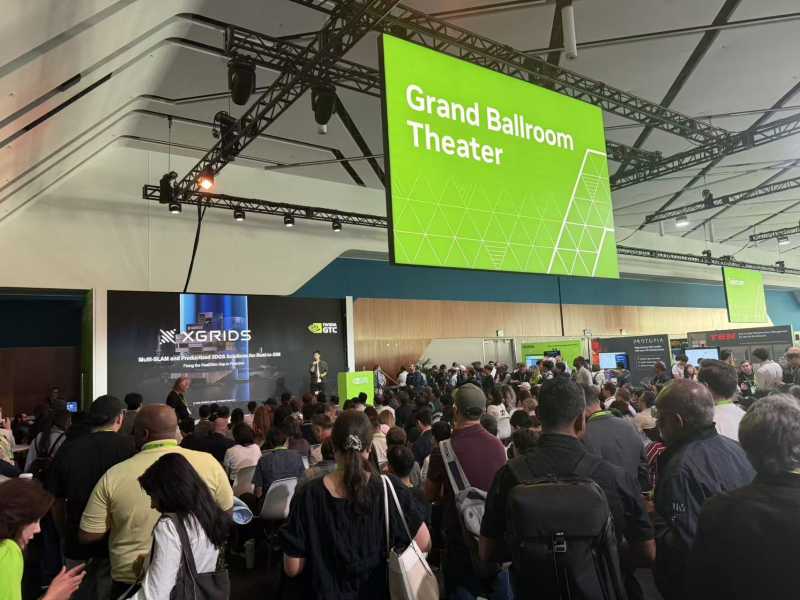
XGRIDS at NVIDIA GTC 2026: Bridging Real-World Spaces and Physical AI Through Real2Sim
XGRIDS at NVIDIA GTC 2026: Bridging Real-World Spaces and Physical AI Through Real2Sim
Building Accurate, Photoreal 3D Environments for Real-Time Applications
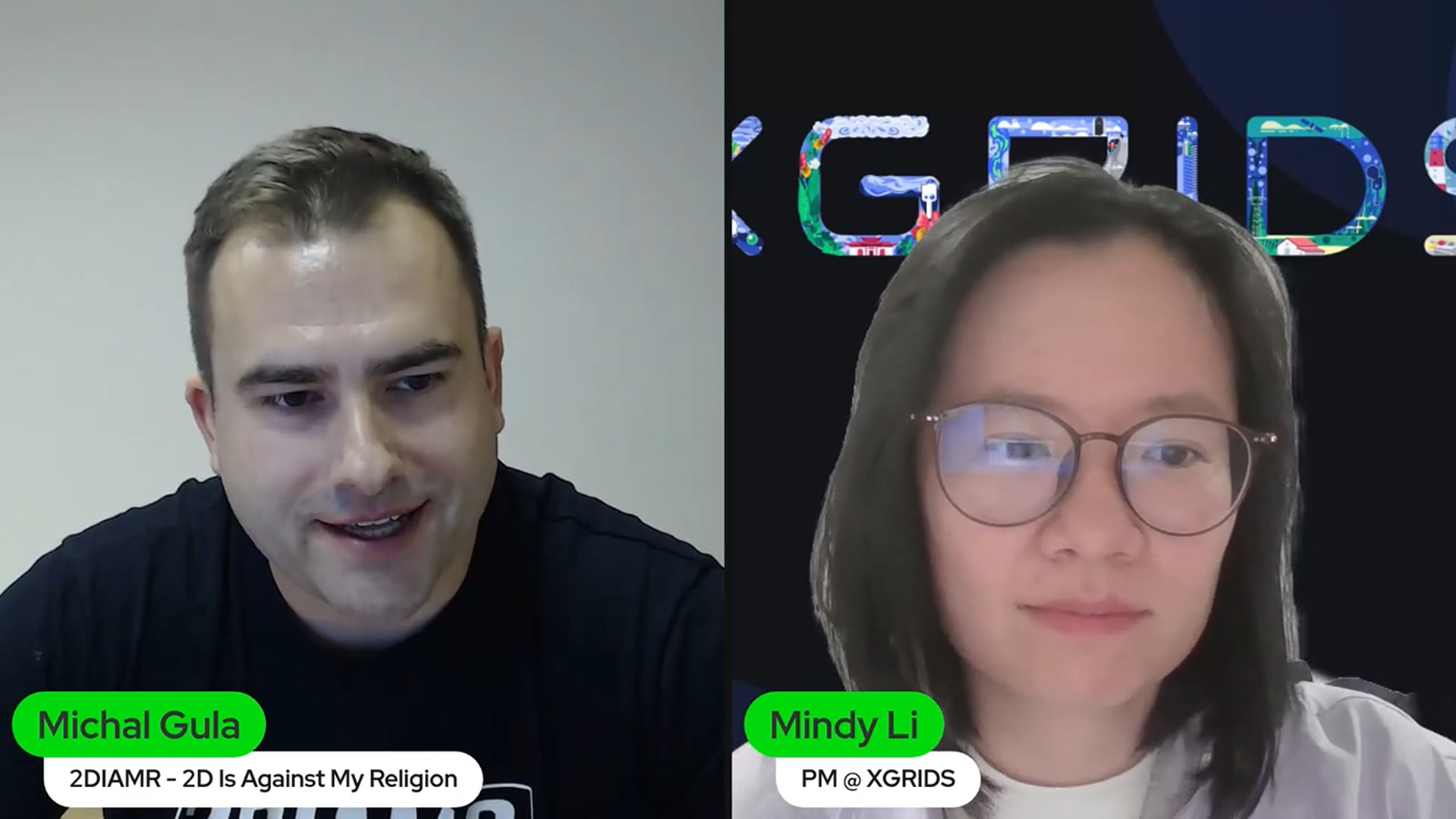
As real-time 3D workflows continue to evolve, creators are looking for capture technologies that deliver both visual realism and spatial accuracy. In this webinar, Michal and Mindy explored how combining LiDAR with Gaussian Splatting (GS) using PortalCam creates a powerful, unified pipeline for virtual production, XR, simulation, and beyond.
Rather than treating GS as a purely visual technique, the session focused on how LiDAR grounds splats in real-world scale and geometry, enabling professional-grade use cases that demand accuracy, interaction, and reliability.
Gaussian Splatting has gained attention for its ability to generate highly realistic 3D representations with remarkable speed. However, splats alone lack explicit geometry, surface texture, and physical structure.
LiDAR fills these gaps by providing:
• Precise spatial measurements and scale
• Reliable depth and geometry
• A foundation for collision, lighting, and physics simulation
By combining the two, XGRIDS solutions like PortalCam and Lixel CyberColor (LCC) deliver environments that are both photorealistic and structurally accurate. This hybrid approach is especially important for industries such as virtual production, AEC, robotics, XR training, and cultural heritage preservation.
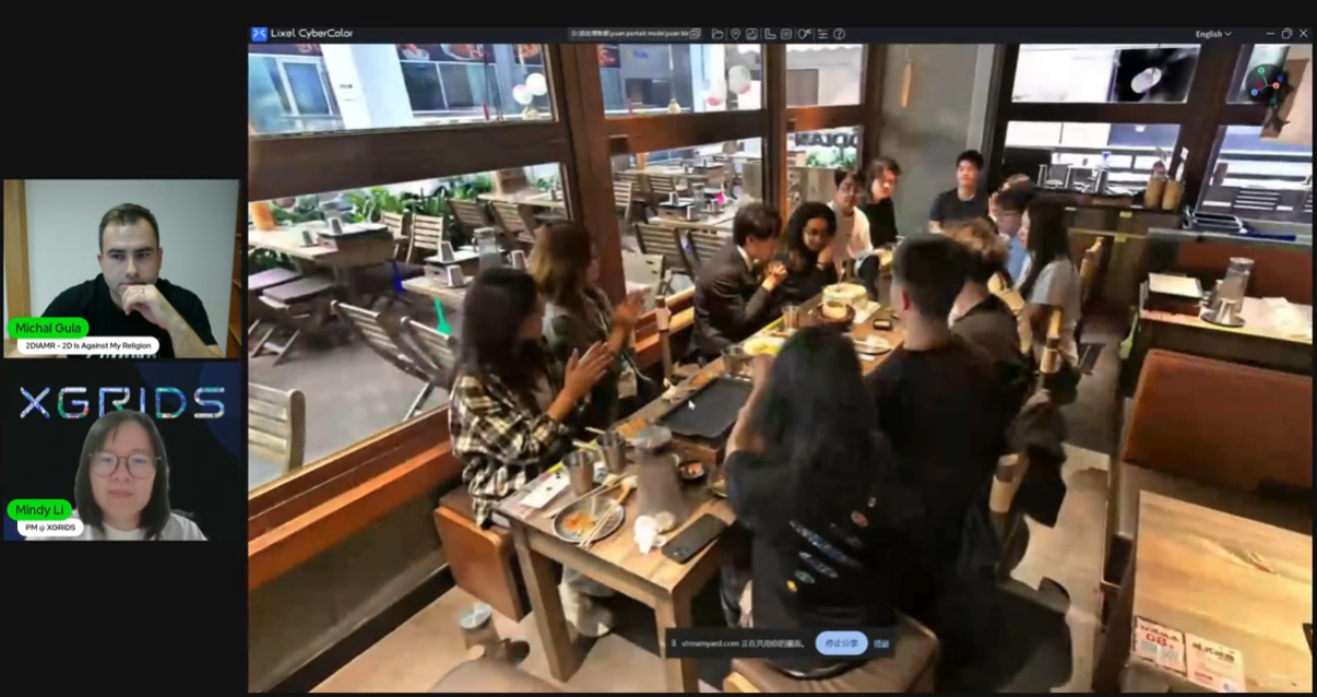
PortalCam is designed to capture LiDAR and image data simultaneously within a single device. This ensures consistent alignment between geometry and visuals while simplifying on-site workflows.
The capture process is straightforward:
Because all data originates from the same sensor system, scale is preserved automatically and alignment issues are minimized.
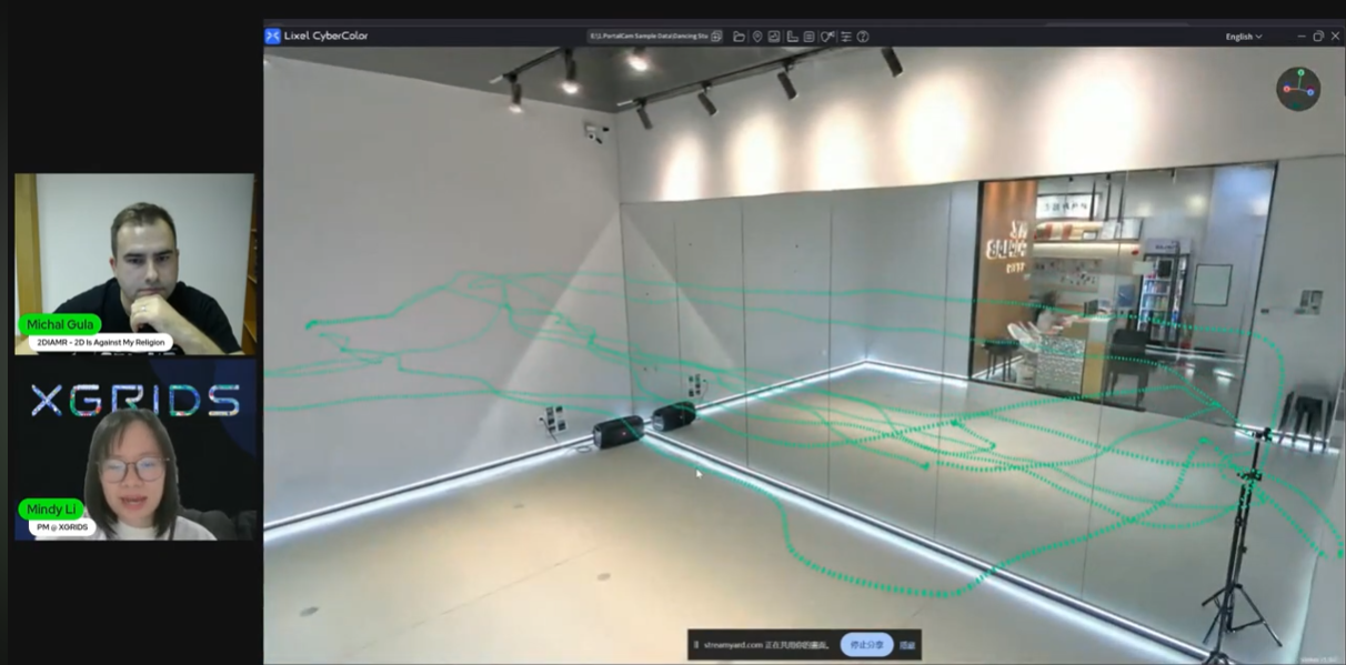
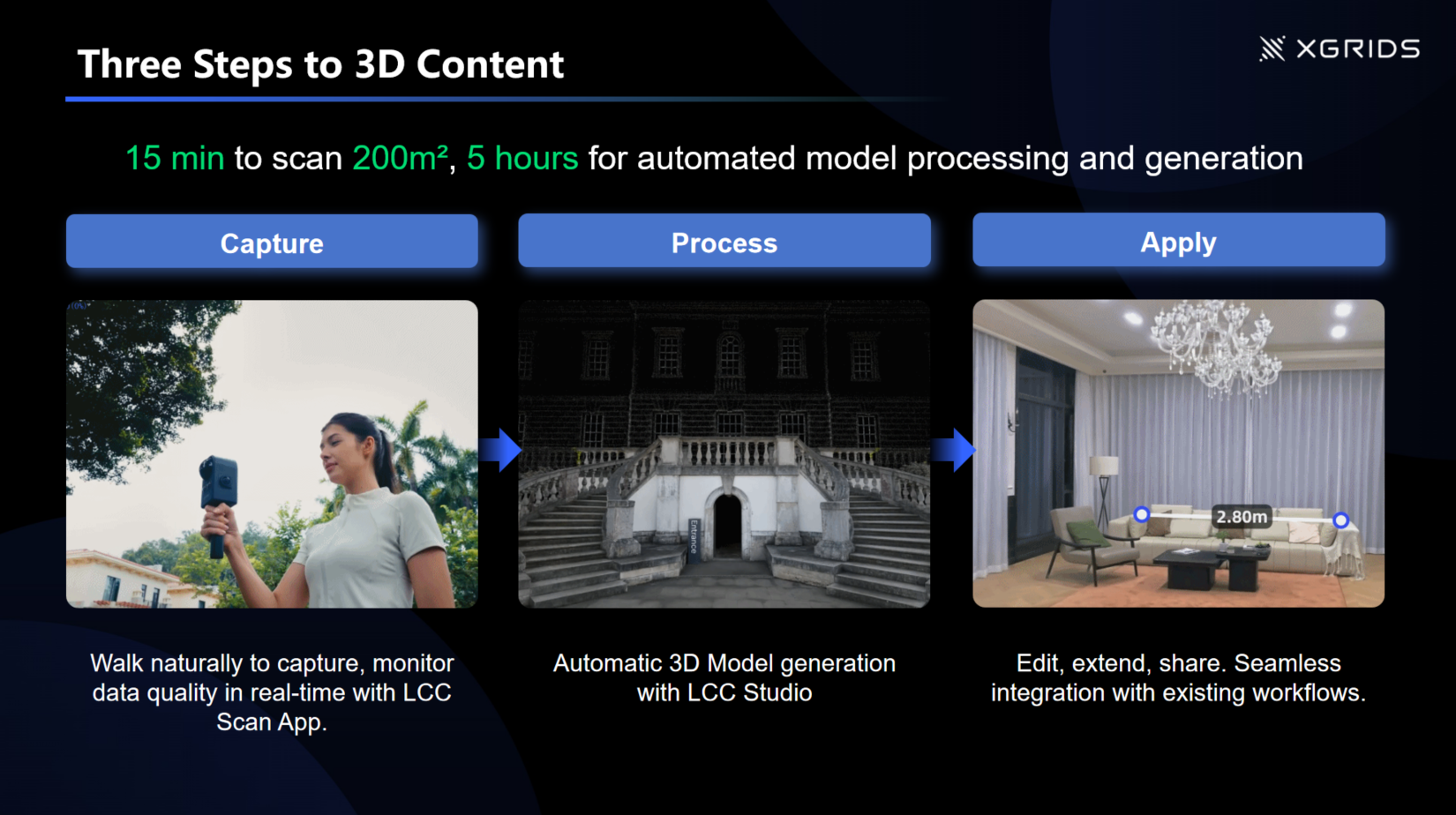
Capture
Walk naturally to scan up to 200 m² in just 15 minutes.
The LCC Scan App provides real-time feedback, allowing users to monitor data quality and ensure full coverage during capture.
Process
Captured data is automatically uploaded for cloud-based 3D model generation, with processing completed in approximately 5 hours using LCC Studio.
Apply
Once processed, models are ready to edit, extend, measure, and share, with seamless integration into existing workflows.
Users can review and validate results by:
One of the key topics of the webinar was the proxy mesh workflow, which addressed a core limitation of Gaussian Splatting.
Gaussian splats store color information but do not include structure and geometry information such as roughness, metalness, or normals. Proxy meshes generated from LiDAR provide collision for physics simulation.
By pairing splats with a low-poly mesh:
• Relighting becomes more accurate
• Shadows behave correctly
• Scenes support collision and interaction
The proxy mesh can remain invisible while still driving lighting and physics, preserving the appearance of splats while unlocking full real-time functionality.
For virtual production teams, this hybrid workflow significantly reduces environment creation time.
Using PortalCam:
• Real-world locations can be captured in minutes
• Environments can be brought into pre-visualization pipeline rapidly
• LED wall workflows become more accessible
• Green screen and hybrid setups integrate smoothly
Compared to traditional modeling or photogrammetry pipelines, LiDAR + Gaussian Splatting enables faster iteration without sacrificing realism or scale.
A common question raised during the session was whether Gaussian Splatting could replace traditional pipeline like photogrammetry.
The answer is clear: Gaussian Splatting and photogrammetry are complementary, not competing technologies.
While Gaussian Splatting excels at visual realism and speed, mesh models remain essential for:
• Accurate measurements
• Structural reliability
• Collision detection and physics
• Engineering-grade applications
Together, they form a robust foundation for professional 3D workflows.
The webinar also highlighted how LiDAR + Gaussian Splatting extends beyond media and entertainment into other industries, including:
• Architectural and real estate visualization
• XR and VR training simulations
• Robotics navigation and AI training
• Digital archiving and cultural heritage preservation
The PortalCam and LCC solution makes 3D Gaussian Splatting significantly more accessible to both creators and industry professionals by simplifying capture, automating processing, and enabling interactive exploration of high-fidelity 3D environments.
Throughout the session, attendees raised practical questions about how LiDAR and Gaussian Splatting work together in real production environments.
No. Gaussian Splatting excels at visual realism and fast scene reconstruction, but it does not replace LiDAR. LiDAR remains essential for accurate scale, depth precision, collision, and physics. The webinar emphasized that the strongest workflows combine both technologies rather than choosing one over the other.
Accuracy depends on the underlying spatial data. When Gaussian splats are generated from LiDAR-aligned captures, real-world scale and proportions are preserved. However, splats alone should not be used for measurement or engineering tasks without LiDAR-derived geometry.
Gaussian splats store color information but lack material properties such as roughness, metalness, and normals. Proxy meshes generated from LiDAR provide these missing elements, enabling realistic lighting, reflections, shadows, and physical interaction while keeping the visual fidelity of splats.
Yes. The combination of LiDAR, Gaussian Splatting, and proxy meshes supports real-time rendering in Unreal Engine and works well with LED wall and green screen setups. Accurate scale and improved lighting behavior help integrate real and virtual elements more naturally.
PortalCam simplifies capture by recording LiDAR and visual data simultaneously. This reduces alignment issues and shortens learning curves compared to traditional photogrammetry or multi-device setups.
Yes. One advantage of this approach is longevity. As processing algorithms and rendering techniques improve, previously captured data can be reprocessed to achieve higher quality results without rescanning the location.
• Gaussian Splatting delivers speed and visual realism
• LiDAR provides accuracy, scale, and structural integrity
• PortalCam unifies both in a single capture workflow
• Proxy meshes enable relighting, materials, and interaction
• Hybrid pipelines are shaping the future of spatial AI and world model
To see the complete demonstrations and technical discussions, watch the full webinar recording and explore how LiDAR and Gaussian Splatting work together to transform real-world capture into production-ready digital environments.
Link: https://youtu.be/oqb_YEJr7ws?si=PREp1bTBDYS1NGIO
XGRIDS at NVIDIA GTC 2026: Bridging Real-World Spaces and Physical AI Through Real2Sim
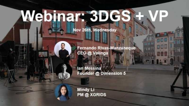
How 3D Gaussian Splatting is closing the gap between spatial capture and in-engine virtual production
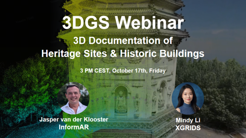
On October 17th, XGRIDS hosted a session in its 3DGS Webinar Series titled "3DGS Documentation for Heritage Sites and Historic Buildings." Featuring Jasper van der Klooster (InformARbv) and Mindy Li (XGRIDS), the webinar explored how point clouds and 3D Gaussian Splatting (3DGS) are redefining the way we document, visualize, and preserve cultural heritage through photorealistic, explorable digital twins.
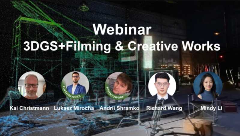
In this webinar, we brought together creators from film, virtual production, and interactive design to explore how 3D Gaussian Splatting (3DGS)—a cutting-edge rendering technique—is being applied across different creative pipelines.