.jpg?x-oss-process=image/resize,w_800/quality,Q_50)
AECScan to BIM
Efficient Scan-to-BIM With XGRIDS Solution: A Full-Workflow Case Study of an Electric Factory
During building renovation and expansion, rapid Scan-to-BIM delivery is critical for coordination among designers, contractors, and owners.
During building renovation and expansion, rapid Scan-to-BIM delivery is critical for coordination among designers, contractors, and owners.
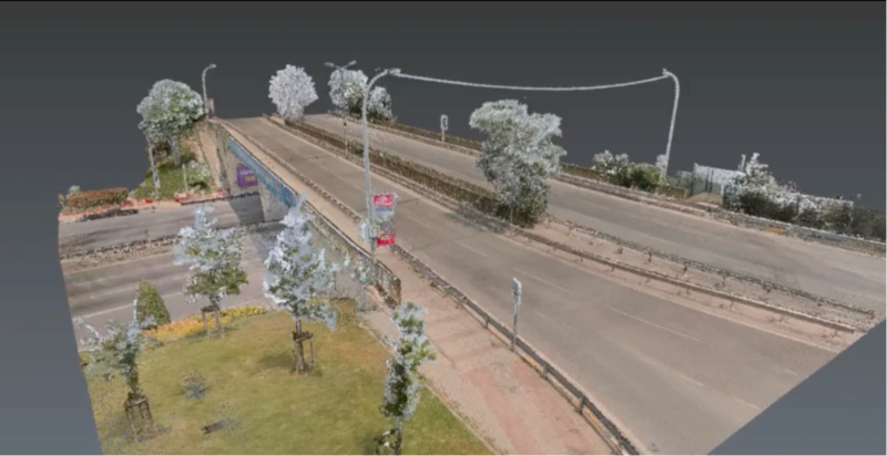
110m × 27m Bridge: SLAM vs. Terrestrial Laser Scanner
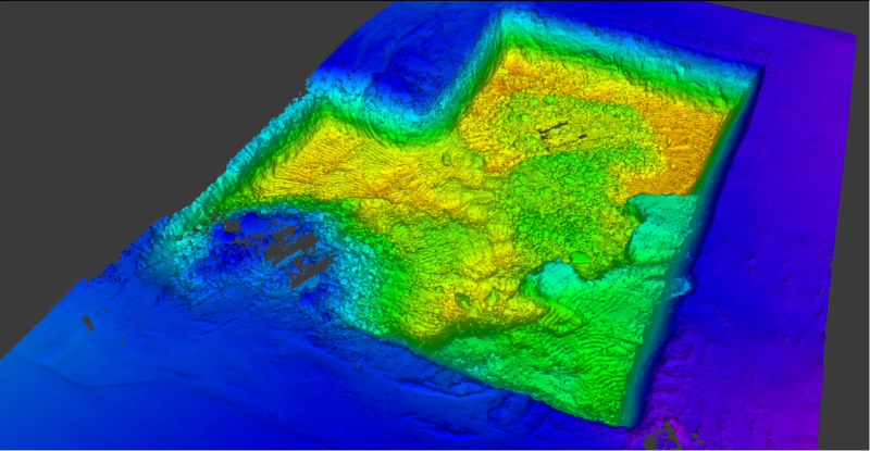
Earthwork volume calculations have traditionally required multiple crew members spending hours taking point-by-point measurements across construction sites.
.jpg?x-oss-process=image/resize,w_800/quality,Q_50)
Lixel K1 + RTK Case Study: 9-Minute Site Survey with Sub-Inch Accuracy

Atlıhan Surveying Engineering reduced project delivery time from days to hours by integrating XGRIDS Lixel L2 Pro handheld LiDAR with terrestrial scanners, enabling 1,000 m² documentation in just 7 minutes while maintaining 2-3cm accuracy.
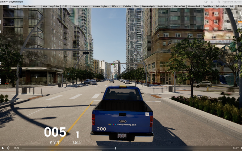
ISL Engineering reduced urban visualization time from weeks to hours using XGRIDS L2 Pro scanner and 3D Gaussian Splatting technology. The solution captured 500m of Edmonton's Jasper Avenue with centimeter-level accuracy in 40 minutes, enabled real-time stakeholder interaction, and eliminated approximately 80 hours of modeling work while improving public engagement.
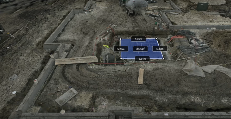
How a single technology pivot can compress field time from days to minutes while giving every trade partner access to a virtual jobsite.
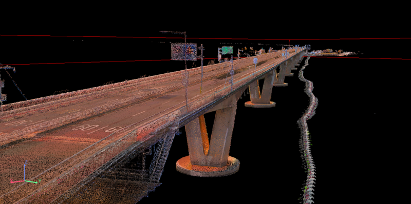
A single round-trip by boat, delivering 3D data ready for engineering workflows.
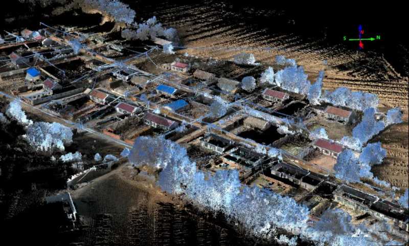
Using the XGRIDS Lixel L2 Pro, a surveying team completed real-time measurement of a 0.2 km² no-fly zone in 15 minutes, achieving true-color point cloud data with 3cm absolute accuracy. The workflow reduced project time by 80% and increased efficiency threefold, demonstrating a viable alternative to drone-based surveying.
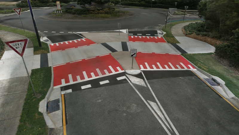
AECT Solutions partnered with a Southeast Queensland council to pilot a transformative digital QA workflow for a raised pedestrian crossing project. Leveraging the XGRIDS Lixel L2 Pro and K1 handheld LiDAR units, combined with 3D Gaussian Splatting (3DGS), AECT delivered faster, safer, and more accurate outcomes across the full infrastructure lifecycle.
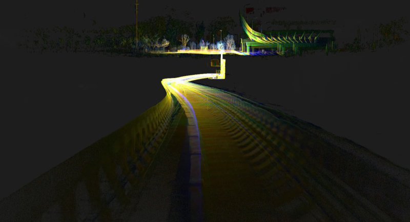
XGRIDS’ partner deployed the Lixel L2 Pro handheld 3D scanner, enabling high-precision mapping to support project validation and acceptance.
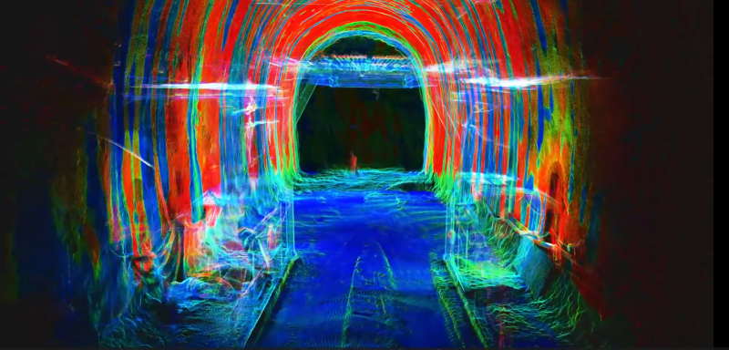
Mobile scanning system changes infrastructure digital construction.