
News
XGRIDS PortalCam Becomes Only Product to Win Four Categories at 2026 NAB Show Product of the Year Awards
XGRIDS PortalCam Becomes Only Product to Win Four Categories at 2026 NAB Show Product of the Year Awards
In 2024, XGRIDS continuously pushes the boundaries of 3D spatial computing by lauching innovative products, bring about creative solutions, and develo
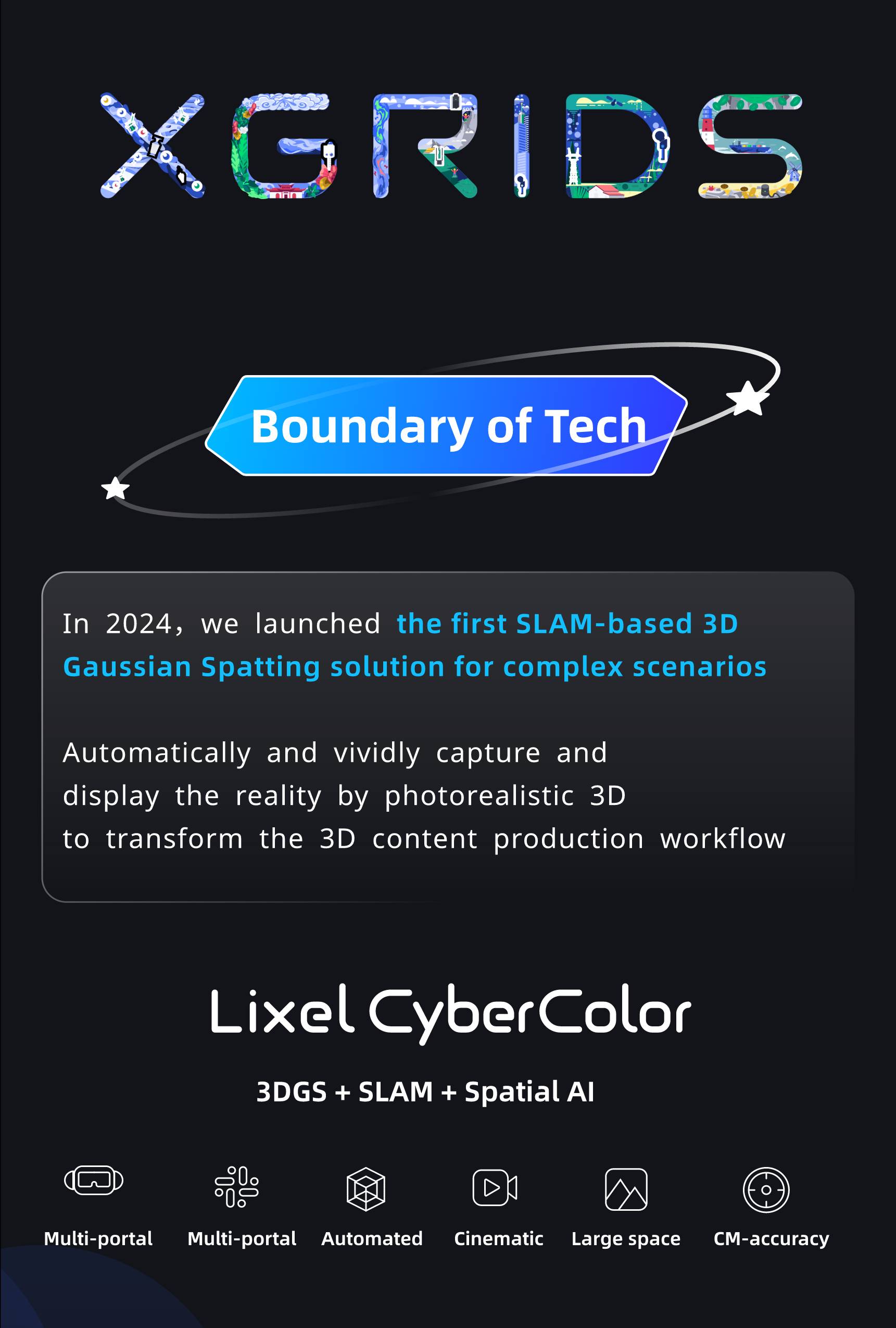
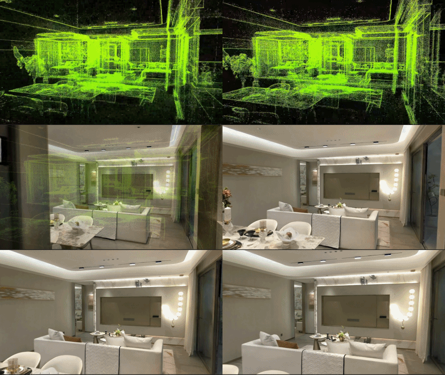
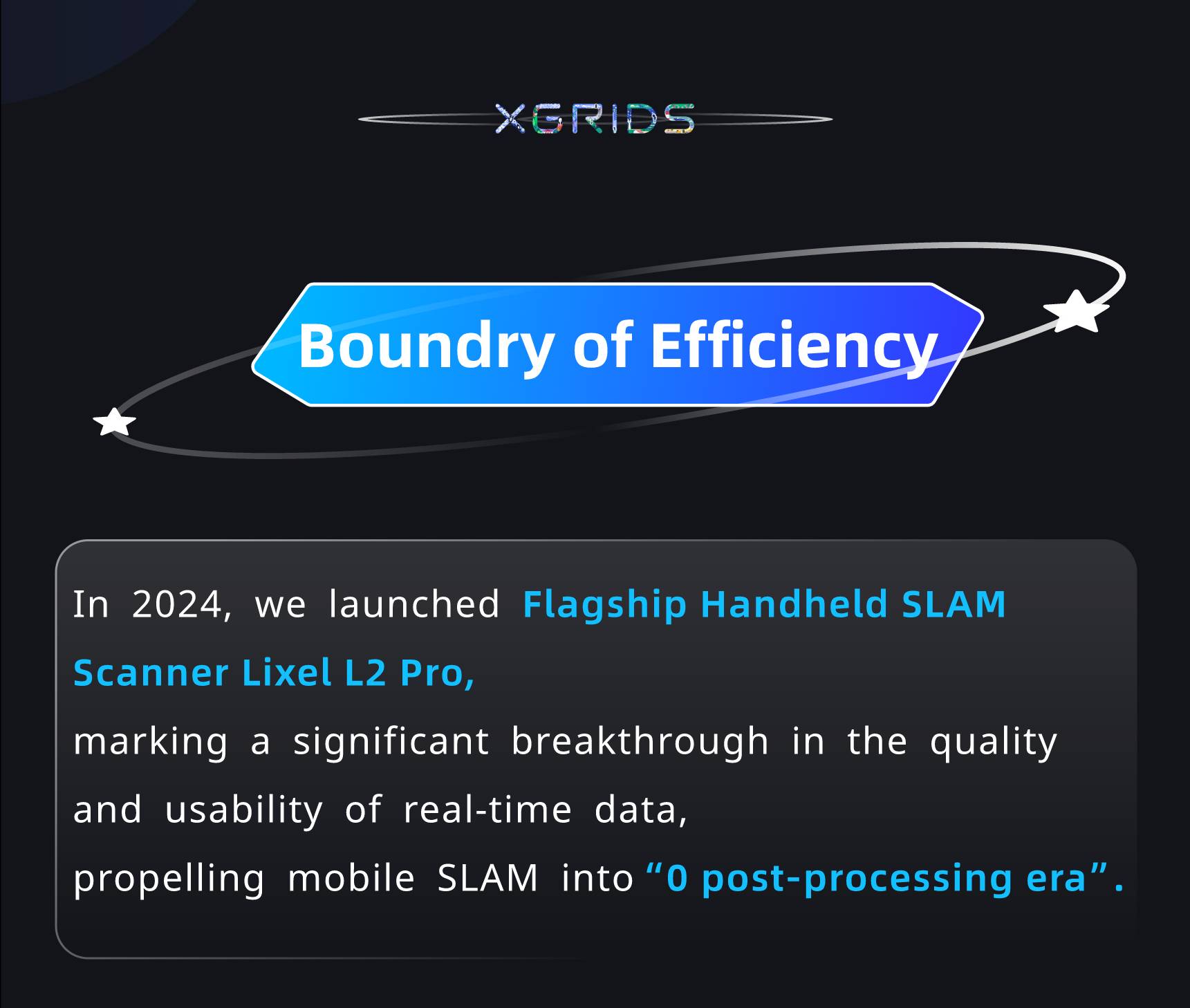
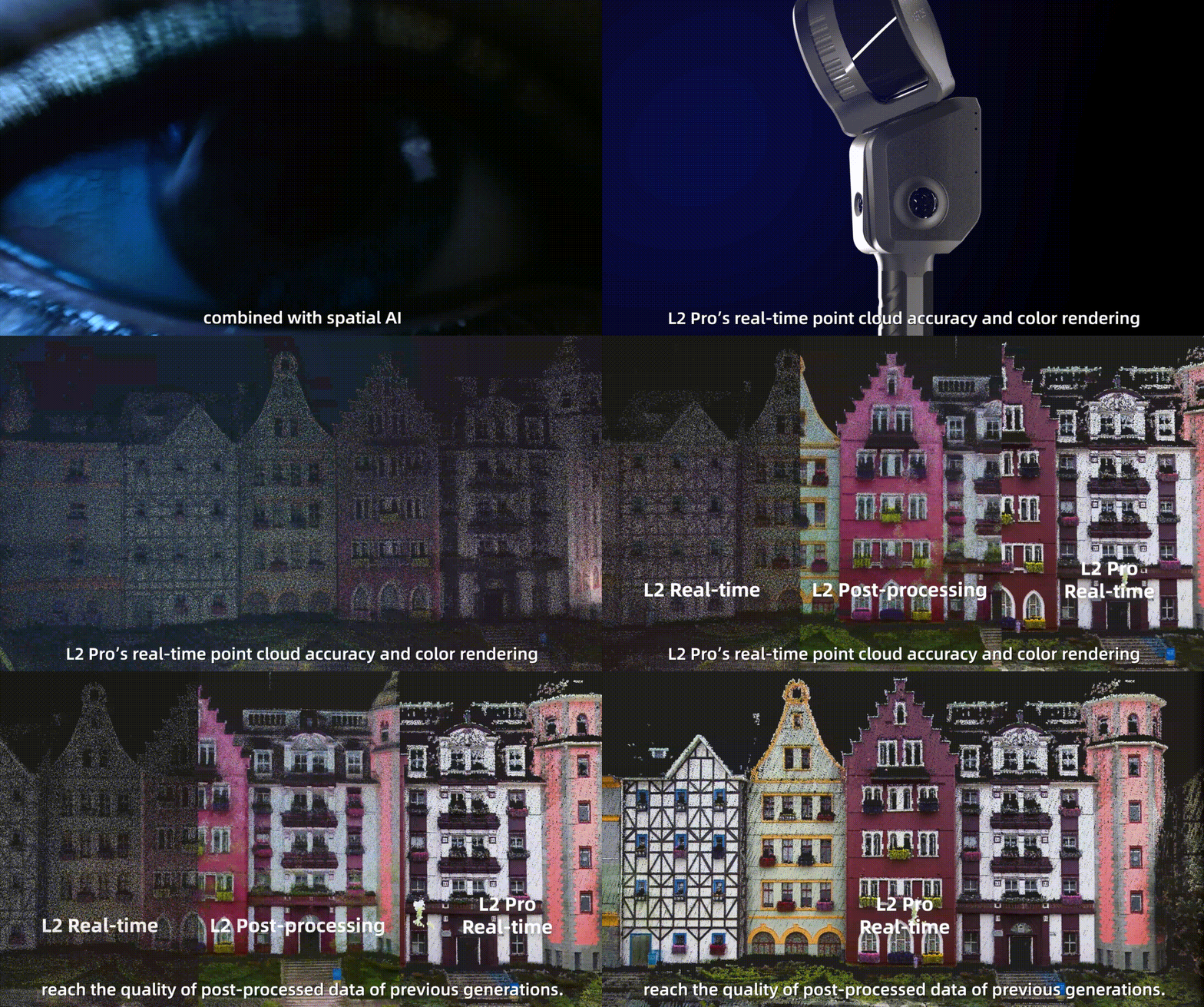
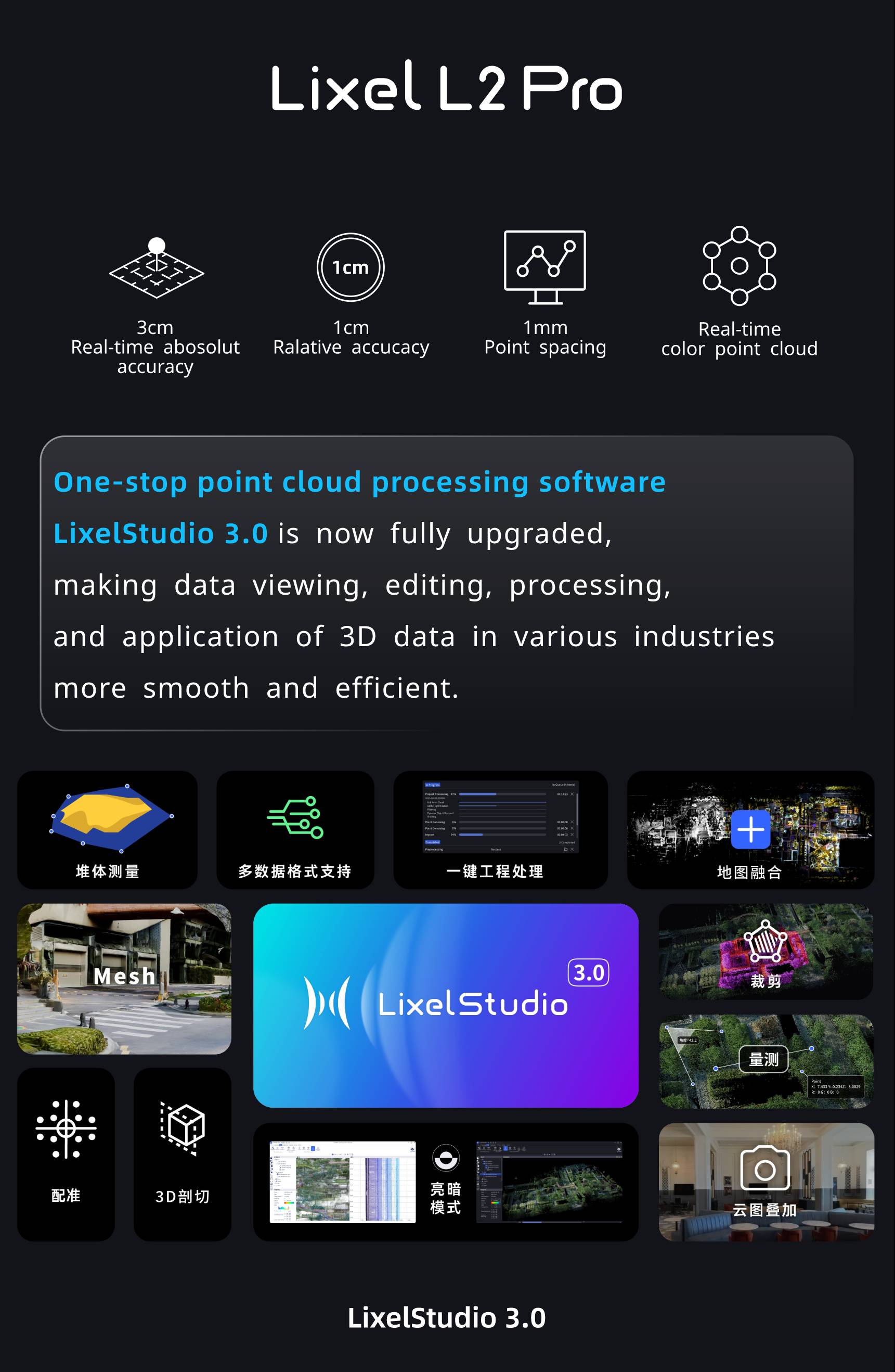
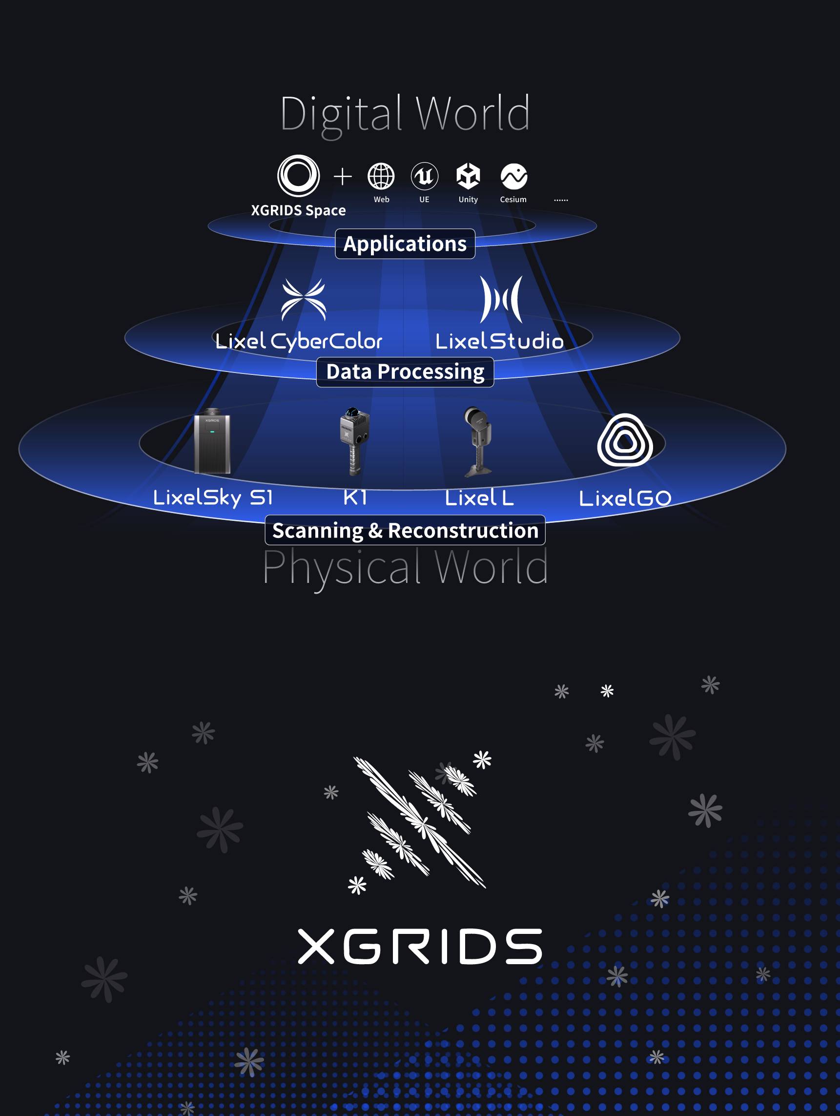
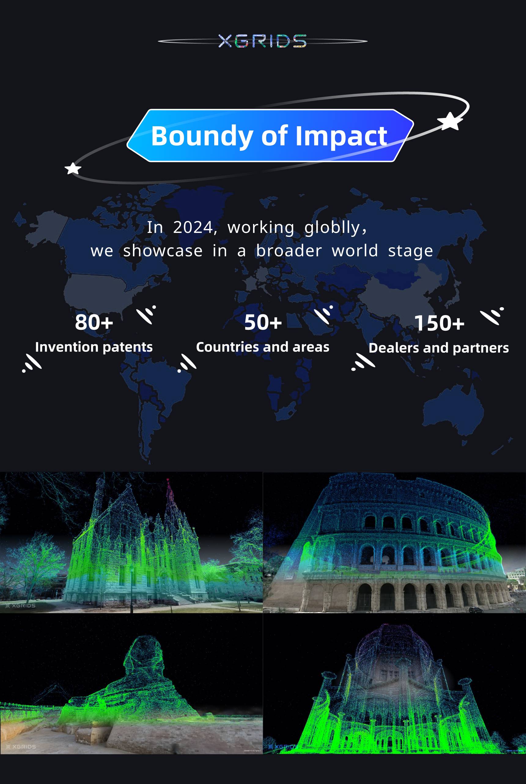
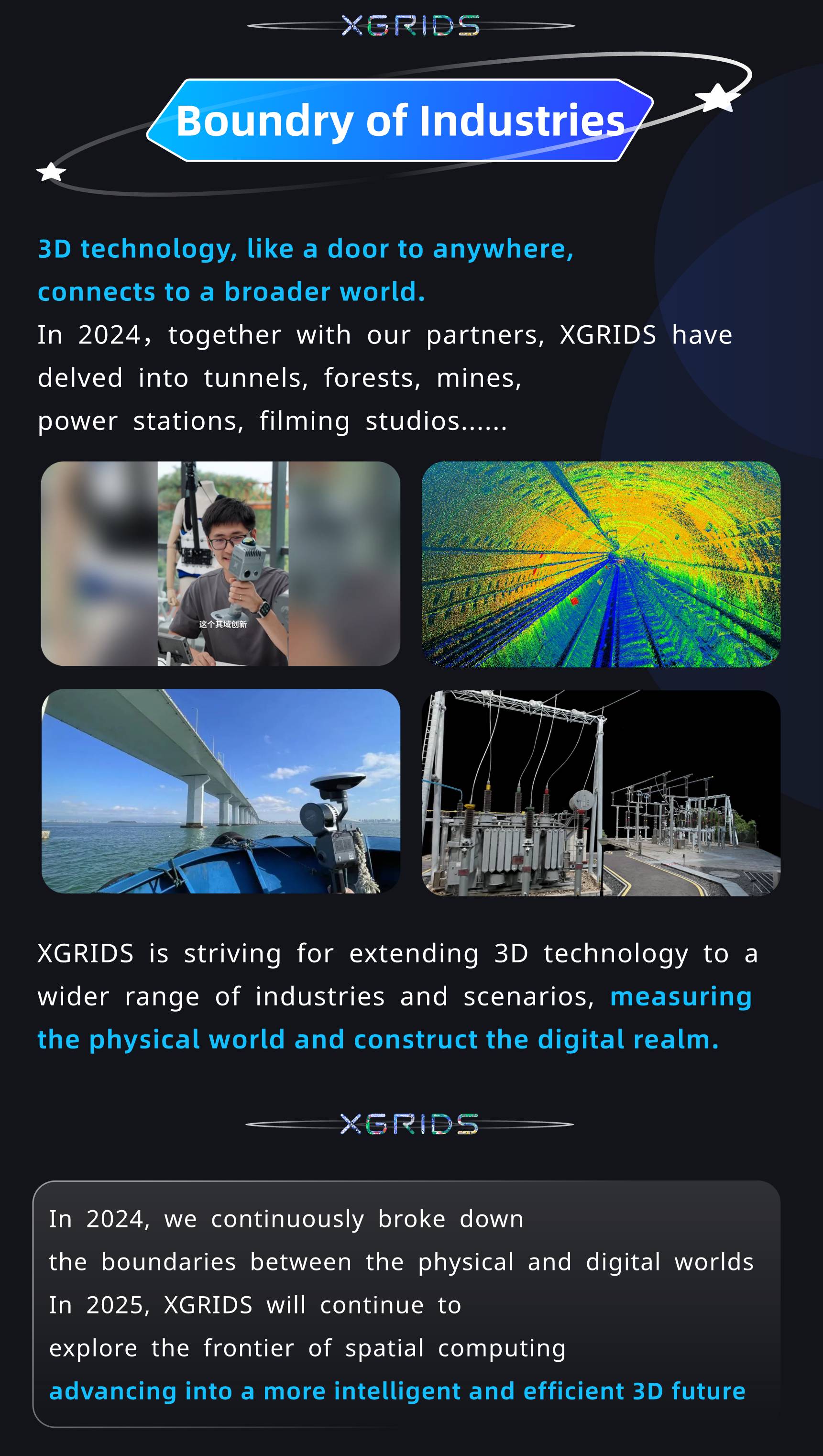
As we stand on the cusp of 2024, XGRIDS reflects on a year of relentless innovation and boundary-breaking advancements in the geospatial industry. Our journey has been marked by the transformation of ideas into reality, reshaping the landscape with our Revit software and laser measure technologies.
🚀 Innovation in Action: We've harnessed the power of lidar scanners and portable scanners to set new standards in spatial computing, precision imaging, and orthomosaic data processing.
🌍 Global Reach: Our expansion into new territories underscores our commitment to serving a global community, providing topographic survey and AEC industry solutions.
🌟 Looking Forward: What does 2025 hold? Join us as we unveil our vision for the next year, filled with groundbreaking projects like simultaneous localization and mapping (SLAM), and ambitious goals that will further define the digital factory applications and 3D scanning as built.
Here's to another year of pushing the limits and reaching for the stars in the realm of lidar technology and 3D mapping. Let's make 2025 a year that sets the stage for the next era of geospatial innovation.
XGRIDS PortalCam Becomes Only Product to Win Four Categories at 2026 NAB Show Product of the Year Awards

An open format that more tools, more industries, and more developers can build on.
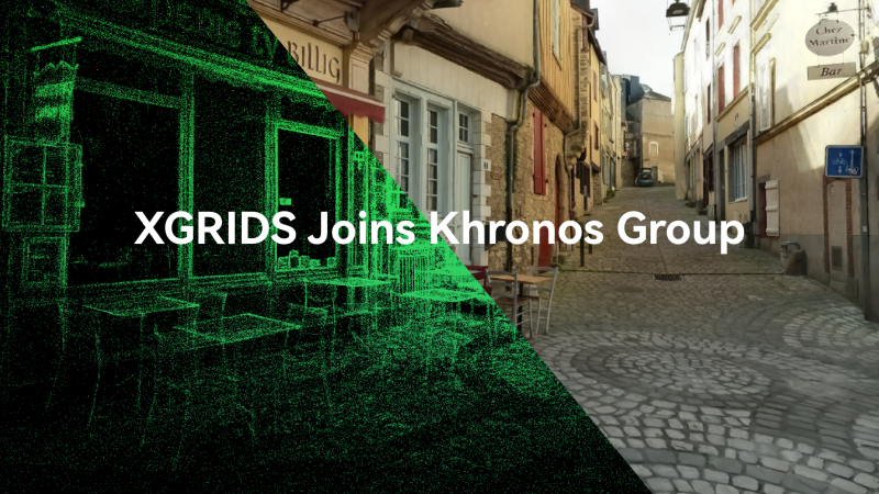
XGRIDS, a spatial intelligence company and one of the first companies to deploy 3D Gaussian Splatting at production scale across multiple industries, today announced its membership in the Khronos® Group.
XGRIDS wins the IFA 2026 Netzwelt Innovation Award with PortalCam & LCC Scan, turning physical spaces into production-ready digital twins in real time.