
Atlıhan Surveying Engineering reduced project delivery time from days to hours by integrating XGRIDS Lixel L2 Pro handheld LiDAR with terrestrial scanners, enabling 1,000 m² documentation in just 7 minutes while maintaining 2-3cm accuracy.
Atlıhan Surveying Engineering reduced project delivery time from days to hours by integrating XGRIDS Lixel L2 Pro handheld LiDAR with terrestrial scanners, enabling 1,000 m² documentation in just 7 minutes while maintaining 2-3cm accuracy.

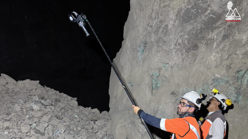
Recurring Stope Monitoring in an Active Underground Mine, Chile

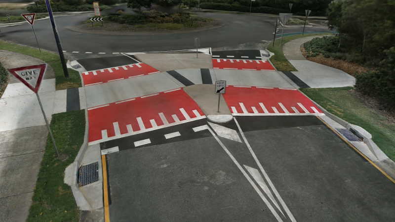
AECT Solutions partnered with a Southeast Queensland council to pilot a transformative digital QA workflow for a raised pedestrian crossing project. Leveraging the XGRIDS Lixel L2 Pro and K1 handheld LiDAR units, combined with 3D Gaussian Splatting (3DGS), AECT delivered faster, safer, and more accurate outcomes across the full infrastructure lifecycle.

SLAM refers to Simultaneous Localization and Mapping, or concurrent mapping and localization.